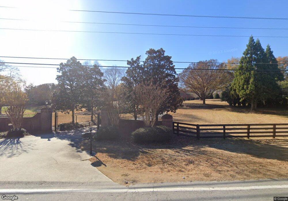
2860 Camp Branch Rd Buford, GA 30519
Estimated Value: $2,517,310 - $4,513,000
8
Beds
11
Baths
11,311
Sq Ft
$305/Sq Ft
Est. Value
About This Home
This home is located at 2860 Camp Branch Rd, Buford, GA 30519 and is currently estimated at $3,446,103, approximately $304 per square foot. 2860 Camp Branch Rd is a home with nearby schools including Patrick Elementary School, Glenn C. Jones Middle School, and Oak Hill Classical School.
Ownership History
Date
Name
Owned For
Owner Type
Purchase Details
Closed on
Sep 18, 2000
Sold by
Lewis Billy B and Lewis Joanne
Bought by
Conkel James E and Conkel Tammy Y
Current Estimated Value
Home Financials for this Owner
Home Financials are based on the most recent Mortgage that was taken out on this home.
Original Mortgage
$962,000
Outstanding Balance
$349,372
Interest Rate
8.05%
Mortgage Type
New Conventional
Estimated Equity
$3,096,731
Create a Home Valuation Report for This Property
The Home Valuation Report is an in-depth analysis detailing your home's value as well as a comparison with similar homes in the area
Home Values in the Area
Average Home Value in this Area
Purchase History
| Date | Buyer | Sale Price | Title Company |
|---|---|---|---|
| Conkel James E | $1,750,000 | -- |
Source: Public Records
Mortgage History
| Date | Status | Borrower | Loan Amount |
|---|---|---|---|
| Open | Conkel James E | $962,000 |
Source: Public Records
Tax History Compared to Growth
Tax History
| Year | Tax Paid | Tax Assessment Tax Assessment Total Assessment is a certain percentage of the fair market value that is determined by local assessors to be the total taxable value of land and additions on the property. | Land | Improvement |
|---|---|---|---|---|
| 2024 | $25,989 | $896,840 | $163,800 | $733,040 |
| 2023 | $25,989 | $896,840 | $163,800 | $733,040 |
| 2022 | $23,262 | $690,000 | $82,840 | $607,160 |
| 2021 | $23,727 | $690,000 | $82,840 | $607,160 |
| 2020 | $21,566 | $808,760 | $82,840 | $725,920 |
| 2019 | $20,822 | $585,960 | $63,520 | $522,440 |
| 2018 | $20,898 | $585,960 | $63,520 | $522,440 |
| 2016 | $20,829 | $585,960 | $63,520 | $522,440 |
| 2015 | $21,075 | $585,960 | $63,520 | $522,440 |
| 2014 | $20,317 | $548,560 | $49,360 | $499,200 |
Source: Public Records
Map
Nearby Homes
- 2760 Camp Branch Rd
- 2802 Nettle Ln
- 2841 Trailing Ivy Way
- 3045 Camp Branch Rd
- 2655 Camp Branch Rd
- 2687 Black Fox Ct
- 2805 Ivy Hill Dr
- 2856 Habibi Ct
- Hawkins Plan at Towns at Ivy Creek
- Smyrna Plan at Towns at Ivy Creek
- 2581 Trailing Ivy Way
- 3468 Aberrone Place
- 2508 Morgan Chase Dr
- 2729 Morgan Glen Rd
- 2500 Morgan Chase Dr
- 2381 Walkers Glen Ln Unit 2C
- 2850 Camp Branch Rd
- 2632 Lindsey Grace Ln
- 2633 Lindsey Grace Ln
- 2790 Drayton Hall Dr
- 2630 Ginger Dr
- 2630 Ginger Dr
- 2765 Camp Branch Rd
- 2620 Ginger Dr
- 2620 Ginger Dr Unit 24
- 3637 Bryant Meadow Cir
- 3566 Bryant Meadow Cir
- 3596 Bryant Meadow Cir
- 3556 Bryant Meadow Cir
- 3567 Bryant Meadow Cir
- 3577 Bryant Meadow Cir
- 3376 Bryant Meadow Cir
- 3587 Bryant Meadow Cir
- 3337 Bryant Meadow Cir
- 3677 Bryant Meadow Cir
- 3457 Bryant Meadow Cir