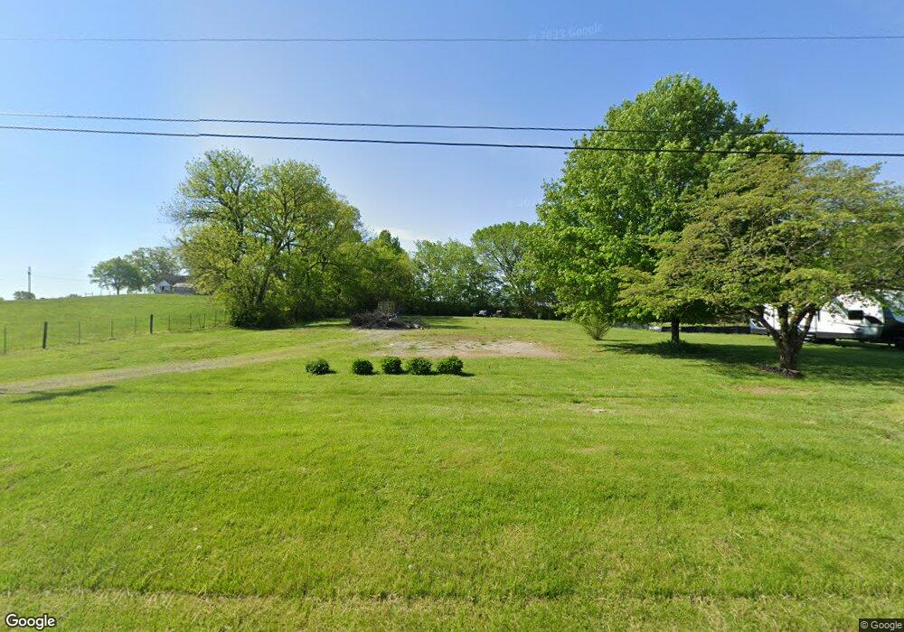
2864 Thompson Station Rd E Thompsons Station, TN 37179
Estimated Value: $849,000 - $1,659,000
--
Bed
1
Bath
3,218
Sq Ft
$345/Sq Ft
Est. Value
About This Home
This home is located at 2864 Thompson Station Rd E, Thompsons Station, TN 37179 and is currently estimated at $1,109,369, approximately $344 per square foot. 2864 Thompson Station Rd E is a home located in Williamson County with nearby schools including Thompson's Station Middle School and Summit High School.
Ownership History
Date
Name
Owned For
Owner Type
Purchase Details
Closed on
May 2, 2021
Sold by
Crutcher Marion Boyd and Crutcher Roy D
Bought by
Cammilleri Stacie Nichole
Current Estimated Value
Purchase Details
Closed on
Jan 11, 2005
Sold by
Woodside Henry Thomas and Woodside Myrtle Wilhoite
Bought by
Wilhoite Crutcher Walter Boyd W B and Wilhoite Crutcher Martha Carolyn
Purchase Details
Closed on
Dec 14, 2004
Sold by
Woodside Henry Thomas and Woodside Myrtle Wilhoite
Bought by
Wilhoite Crutcher Walter Boyd W B and Wilhoite Crutcher Martha Carolyn
Create a Home Valuation Report for This Property
The Home Valuation Report is an in-depth analysis detailing your home's value as well as a comparison with similar homes in the area
Home Values in the Area
Average Home Value in this Area
Purchase History
| Date | Buyer | Sale Price | Title Company |
|---|---|---|---|
| Cammilleri Stacie Nichole | -- | None Available | |
| Wilhoite Crutcher Walter Boyd W B | $27,000 | None Available | |
| Wilhoite Crutcher Walter Boyd W B | $27,000 | None Available |
Source: Public Records
Tax History Compared to Growth
Tax History
| Year | Tax Paid | Tax Assessment Tax Assessment Total Assessment is a certain percentage of the fair market value that is determined by local assessors to be the total taxable value of land and additions on the property. | Land | Improvement |
|---|---|---|---|---|
| 2025 | $2,126 | $252,075 | $88,300 | $163,775 |
| 2024 | $2,126 | $107,225 | $25,225 | $82,000 |
| 2023 | $550 | $27,725 | $25,300 | $2,425 |
| 2022 | $550 | $27,725 | $25,300 | $2,425 |
| 2021 | $499 | $27,725 | $25,300 | $2,425 |
| 2020 | $426 | $18,325 | $15,150 | $3,175 |
| 2019 | $426 | $18,325 | $15,150 | $3,175 |
| 2018 | $413 | $18,325 | $15,150 | $3,175 |
| 2017 | $478 | $21,425 | $18,250 | $3,175 |
| 2016 | $0 | $21,425 | $18,250 | $3,175 |
| 2015 | -- | $17,575 | $14,050 | $3,525 |
| 2014 | -- | $17,575 | $14,050 | $3,525 |
Source: Public Records
Map
Nearby Homes
- 2028 Lewisburg Pike
- 2113 Southern Preserve Ln
- 5204 Fairhaven Ct
- 5093 Fairhaven Cir
- Foxmoor Plan at Fairhaven
- Landon Plan at Fairhaven
- Wyatt Plan at Fairhaven
- Wentworth Plan at Fairhaven
- Lancaster Plan at Fairhaven
- 5109 Fairhaven Cir
- 5085 Fairhaven Cir
- 5056 Fairhaven Cir
- 5073 Fairhaven Cir
- 5104 Fairhaven Cir
- 5098 Fairhaven Cir
- 5092 Fairhaven Cir
- 5088 Fairhaven Cir
- 2035 Ober Brienz Ln
- 2311 Lucerne Ln
- 3313 Sarah Bee Ln
- 2860 Thompson Station Rd E
- 2600 Hemingway Cir
- 2604 Hemingway Cir
- 2608 Hemingway Cir
- 2612 Hemingway Cir
- 2616 Hemingway Cir
- 2846 Thompson Station Rd E
- 2624 Hemingway Cir
- 2620 Hemingway Cir
- 2809 Bloomfield Dr
- 2805 Bloomfield Dr
- 2813 Bloomfield Dr
- 2850 Thompson Station Rd E Unit 52
- 2817 Bloomfield Dr
- 2872 Thompson Station Rd E
- 2801 Bloomfield Dr
- 2880 Thompson Station Rd E
- 2705 Learcrest Ct
- 2601 Blair Park Cir
- 2820 Bloomfield Dr
