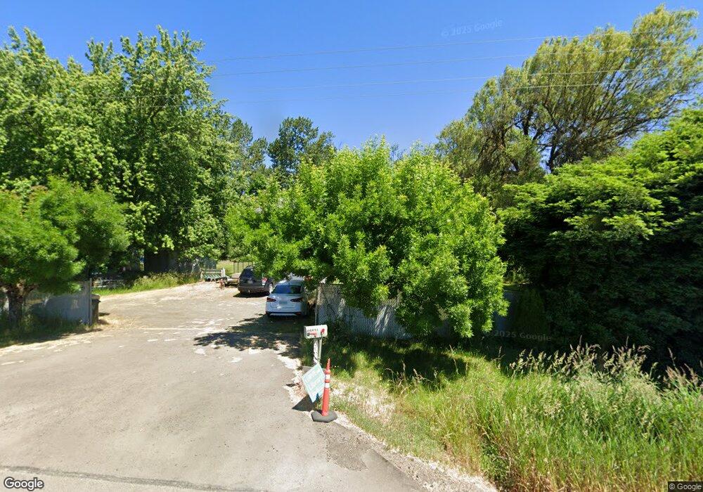
28647 Highway 99w Corvallis, OR 97333
Estimated Value: $464,000 - $600,000
4
Beds
2
Baths
994
Sq Ft
$517/Sq Ft
Est. Value
About This Home
This home is located at 28647 Highway 99w, Corvallis, OR 97333 and is currently estimated at $513,673, approximately $516 per square foot. 28647 Highway 99w is a home located in Benton County with nearby schools including Lincoln Elementary School, Linus Pauling Middle School, and Corvallis High School.
Ownership History
Date
Name
Owned For
Owner Type
Purchase Details
Closed on
May 28, 2002
Sold by
Brewster Wesley E and Brewster Patti J
Bought by
Stewart Linda K
Current Estimated Value
Home Financials for this Owner
Home Financials are based on the most recent Mortgage that was taken out on this home.
Original Mortgage
$90,000
Outstanding Balance
$38,269
Interest Rate
6.89%
Estimated Equity
$475,404
Create a Home Valuation Report for This Property
The Home Valuation Report is an in-depth analysis detailing your home's value as well as a comparison with similar homes in the area
Home Values in the Area
Average Home Value in this Area
Purchase History
| Date | Buyer | Sale Price | Title Company |
|---|---|---|---|
| Stewart Linda K | $147,000 | Amerititle Inc |
Source: Public Records
Mortgage History
| Date | Status | Borrower | Loan Amount |
|---|---|---|---|
| Open | Stewart Linda K | $90,000 |
Source: Public Records
Tax History Compared to Growth
Tax History
| Year | Tax Paid | Tax Assessment Tax Assessment Total Assessment is a certain percentage of the fair market value that is determined by local assessors to be the total taxable value of land and additions on the property. | Land | Improvement |
|---|---|---|---|---|
| 2024 | $2,579 | $228,503 | -- | -- |
| 2023 | $2,428 | $221,848 | $0 | $0 |
| 2022 | $2,357 | $215,386 | $0 | $0 |
| 2021 | $2,274 | $209,113 | $0 | $0 |
| 2020 | $2,255 | $203,022 | $0 | $0 |
| 2019 | $2,057 | $197,109 | $0 | $0 |
| 2018 | $2,075 | $191,368 | $0 | $0 |
| 2017 | $1,871 | $185,794 | $0 | $0 |
| 2016 | $1,879 | $180,383 | $0 | $0 |
| 2015 | $1,853 | $175,129 | $0 | $0 |
| 2014 | $1,808 | $170,028 | $0 | $0 |
| 2012 | -- | $160,268 | $0 | $0 |
Source: Public Records
Map
Nearby Homes
- 30274 Peoria Rd
- TA 352602 off Goracke Rd
- 4297 SE Kiger Island Dr
- 25148 Smittys Place
- 25053 Larson Rd
- 0 Oak St
- 194 Oak St
- 710 N 8th St
- 0 SW Herbert (13 78 Acres) Ave
- 0 SW Herbert (27 14 Acres) Ave
- 0 SW Herbert (13 35 Acres) Ave
- 991 Main St
- 629 Commercial St
- 628 Commercial St
- 648 Commercial St
- 0 Crandall
- 3 Orchard St
- 31970 Fern Rd
- 875 Shelby Way
- 24496 Mccain Rd
