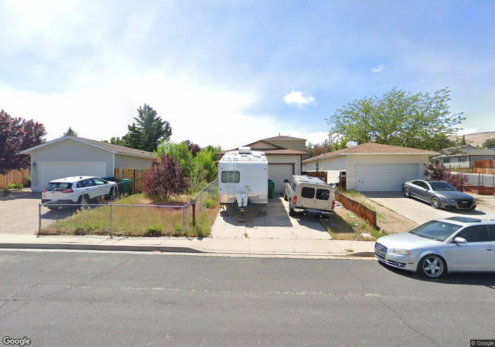
2865 Harding Way Reno, NV 89503
Kings Row NeighborhoodEstimated Value: $462,261 - $480,000
3
Beds
2
Baths
1,168
Sq Ft
$403/Sq Ft
Est. Value
About This Home
This home is located at 2865 Harding Way, Reno, NV 89503 and is currently estimated at $470,815, approximately $403 per square foot. 2865 Harding Way is a home located in Washoe County with nearby schools including Mamie Towles Elementary School, Archie Clayton Pre-AP Academy, and Robert McQueen High School.
Ownership History
Date
Name
Owned For
Owner Type
Purchase Details
Closed on
Feb 17, 2000
Sold by
Mitchell Matthew A and Mitchell Christine T
Bought by
Fonder Hugh D
Current Estimated Value
Home Financials for this Owner
Home Financials are based on the most recent Mortgage that was taken out on this home.
Original Mortgage
$118,750
Outstanding Balance
$38,016
Interest Rate
8.16%
Estimated Equity
$432,799
Create a Home Valuation Report for This Property
The Home Valuation Report is an in-depth analysis detailing your home's value as well as a comparison with similar homes in the area
Home Values in the Area
Average Home Value in this Area
Purchase History
| Date | Buyer | Sale Price | Title Company |
|---|---|---|---|
| Fonder Hugh D | $125,000 | First Centennial Title Co |
Source: Public Records
Mortgage History
| Date | Status | Borrower | Loan Amount |
|---|---|---|---|
| Open | Fonder Hugh D | $118,750 |
Source: Public Records
Tax History
| Year | Tax Paid | Tax Assessment Tax Assessment Total Assessment is a certain percentage of the fair market value that is determined by local assessors to be the total taxable value of land and additions on the property. | Land | Improvement |
|---|---|---|---|---|
| 2026 | -- | $65,368 | $40,285 | $25,083 |
| 2024 | $1,528 | $64,148 | $37,485 | $26,663 |
| 2023 | $1,528 | $64,840 | $39,200 | $25,640 |
| 2022 | $1,483 | $53,166 | $31,500 | $21,666 |
| 2021 | $1,374 | $43,134 | $21,245 | $21,889 |
| 2020 | $1,291 | $42,204 | $19,985 | $22,219 |
| 2019 | $1,230 | $42,013 | $20,300 | $21,713 |
| 2018 | $1,157 | $35,487 | $14,455 | $21,032 |
| 2017 | $1,110 | $34,221 | $12,915 | $21,306 |
| 2016 | $1,082 | $33,342 | $11,340 | $22,002 |
| 2015 | $1,080 | $31,831 | $9,625 | $22,206 |
| 2014 | $1,047 | $30,122 | $8,575 | $21,547 |
| 2013 | -- | $27,686 | $6,125 | $21,561 |
Source: Public Records
Map
Nearby Homes
- 2645 Emily St
- 1540 O Farrell St
- 1495 Exeter Way
- 3160 Sky Country Dr
- 1495 Doric Dr
- 3191 Platte River Dr
- 1470 Marne Dr
- 3235 Bryan St
- 3221 Platte River Dr
- 2801 Kings Row
- 3085 Kings Row
- 3020 Kings Row
- 2295 Ellendale Rd
- 2050 Lassen Dr
- 3848 Bexley Square
- 1695 Severn Dr
- 2050 Ives Ave
- 1206 Freddie Ct
- 3405 Bowie Rd
- 1045 Hartford Ct
- 2845 Harding Way
- 2510 Sunray Dr
- 2825 Harding Way
- 2606 Sunray Dr
- 2815 Harding Way
- 2505 Sunray Dr
- 2610 Sunray Dr
- 2860 Harding Way
- 2840 Harding Way
- 2515 Sunray Dr
- 2505 Bryan St
- 2490 Sunray Dr
- 2855 Bryan St
- 2830 Harding Way
- 2915 Harding Cir
- 00-60 Sunray Dr
- 0 Sunray Dr
- 2620 Sunray Dr
- 2875 Bryan St
- 2820 Harding Way
Your Personal Tour Guide
Ask me questions while you tour the home.