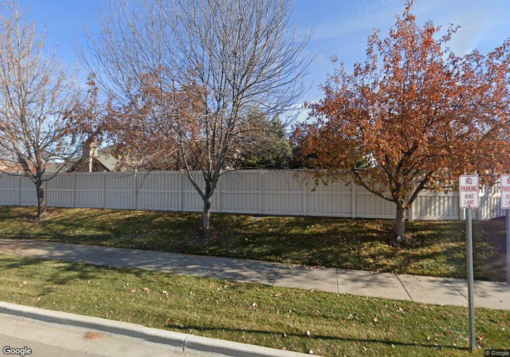
2866 N Cloverdale Rd Unit 44 Boise, ID 83713
West Boise NeighborhoodEstimated Value: $421,000 - $467,000
3
Beds
3
Baths
1,866
Sq Ft
$237/Sq Ft
Est. Value
About This Home
This home is located at 2866 N Cloverdale Rd Unit 44, Boise, ID 83713 and is currently estimated at $442,205, approximately $236 per square foot. 2866 N Cloverdale Rd Unit 44 is a home located in Ada County with nearby schools including Ustick Elementary School, Lewis & Clark Middle School, and Centennial High School.
Ownership History
Date
Name
Owned For
Owner Type
Purchase Details
Closed on
Feb 5, 2021
Sold by
Hampton Kirby D and Estate Of Kirby D Hampton
Bought by
Hampton Carol D
Current Estimated Value
Purchase Details
Closed on
Apr 9, 2020
Sold by
Soto Bonnie J
Bought by
Hampton Carol D and Hampton Kirby D
Home Financials for this Owner
Home Financials are based on the most recent Mortgage that was taken out on this home.
Original Mortgage
$289,710
Interest Rate
3.4%
Mortgage Type
New Conventional
Purchase Details
Closed on
May 27, 2015
Sold by
Kolman Carole A
Bought by
Soto Bonnie J
Purchase Details
Closed on
Feb 8, 2010
Sold by
Kolman Kenneth Anthony and Kolman Roberta Leigh
Bought by
Kolman Carole A
Purchase Details
Closed on
Dec 10, 2009
Sold by
Ff Cloverdale Residential Llc
Bought by
Kolman Carole A and Kolman Kenneth Anthony
Create a Home Valuation Report for This Property
The Home Valuation Report is an in-depth analysis detailing your home's value as well as a comparison with similar homes in the area
Home Values in the Area
Average Home Value in this Area
Purchase History
| Date | Buyer | Sale Price | Title Company |
|---|---|---|---|
| Hampton Carol D | -- | None Listed On Document | |
| Hampton Carol D | -- | Pioneer Title Co Of Ada Cnty | |
| Soto Bonnie J | -- | Titleone | |
| Kolman Carole A | -- | Accommodation | |
| Kolman Carole A | -- | Title One |
Source: Public Records
Mortgage History
| Date | Status | Borrower | Loan Amount |
|---|---|---|---|
| Previous Owner | Hampton Carol D | $289,710 |
Source: Public Records
Tax History Compared to Growth
Tax History
| Year | Tax Paid | Tax Assessment Tax Assessment Total Assessment is a certain percentage of the fair market value that is determined by local assessors to be the total taxable value of land and additions on the property. | Land | Improvement |
|---|---|---|---|---|
| 2025 | $2,108 | $424,500 | -- | -- |
| 2024 | $1,985 | $443,700 | -- | -- |
| 2023 | $1,985 | $410,200 | $0 | $0 |
| 2022 | $2,270 | $461,300 | $0 | $0 |
| 2021 | $2,106 | $365,200 | $0 | $0 |
| 2020 | $2,328 | $307,900 | $0 | $0 |
| 2019 | $2,565 | $300,200 | $0 | $0 |
| 2018 | $2,467 | $267,700 | $0 | $0 |
| 2017 | $2,019 | $233,700 | $0 | $0 |
| 2016 | $2,148 | $233,600 | $0 | $0 |
| 2015 | $2,249 | $220,800 | $0 | $0 |
| 2012 | -- | $219,000 | $0 | $0 |
Source: Public Records
Map
Nearby Homes
- 2870 N Cloverdale Rd
- 2834 N Cloverdale Rd Unit 146
- 12088 W Ardyce St
- 2814 N Cloverdale Rd
- 12030 W Abram St
- 11934 W Ardyce St
- Plan 1910 at Mooseland
- Plan 2301 at Mooseland
- Plan 2800 at Mooseland
- 11288 W Race Ct
- 12148 W Clover Meadows Dr
- 11900 W Ramrod Dr
- 12528 W Lewis And Clark Dr
- 3413 N Campton Way
- 4130 E Chandler St
- 12116 W Musket Dr
- 11303 W Tahiti St
- 2104 N Bryson Rd
- 11336 W Poppy St
- 12137 Ginger Creek Dr
- 2866 N Cloverdale Rd
- 2864 N Cloverdale Rd
- 2876 N Cloverdale Rd
- 2868 N Cloverdale Rd
- 2862 N Cloverdale Rd
- 2872 N Cloverdale Rd
- 2858 N Cloverdale Rd
- 2874 N Cloverdale Rd
- 2860 N Cloverdale Rd
- 2878 N Cloverdale Rd
- 2856 N Cloverdale Rd
- 2842 N Cloverdale Rd
- 2880 N Cloverdale Rd
- 2886 N Cloverdale Rd
- 2854 N Cloverdale Rd
- 2884 N Cloverdale Rd
- 2888 N Cloverdale Rd
- 2882 N Cloverdale Rd
- 2838 N Cloverdale Rd
- 2892 N Cloverdale Rd
