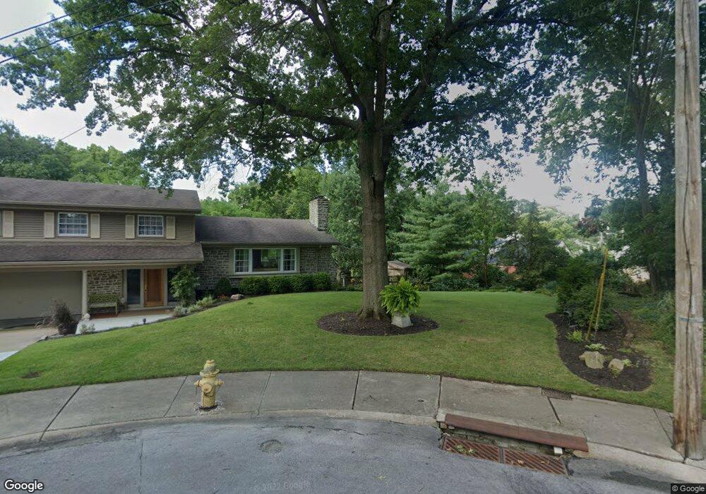
2867 McFarlan Park Dr Cincinnati, OH 45211
Westwood NeighborhoodEstimated Value: $16,000 - $323,000
--
Bed
--
Bath
--
Sq Ft
4,966
Sq Ft Lot
About This Home
This home is located at 2867 McFarlan Park Dr, Cincinnati, OH 45211 and is currently estimated at $145,000. 2867 McFarlan Park Dr is a home located in Hamilton County with nearby schools including Dater Montessori Elementary School, Western Hills High School, and Gilbert A. Dater High School.
Ownership History
Date
Name
Owned For
Owner Type
Purchase Details
Closed on
Jan 31, 2008
Sold by
Staudigel William C and Gates Michael J
Bought by
Staudigel William C and Gates Michael J
Current Estimated Value
Purchase Details
Closed on
Jun 25, 1999
Sold by
Kramer Michelle and Bauer Betty
Bought by
Staudigel William C and Gates Michael J
Home Financials for this Owner
Home Financials are based on the most recent Mortgage that was taken out on this home.
Original Mortgage
$157,960
Outstanding Balance
$42,966
Interest Rate
7.43%
Estimated Equity
$102,034
Create a Home Valuation Report for This Property
The Home Valuation Report is an in-depth analysis detailing your home's value as well as a comparison with similar homes in the area
Home Values in the Area
Average Home Value in this Area
Purchase History
| Date | Buyer | Sale Price | Title Company |
|---|---|---|---|
| Staudigel William C | -- | Attorney | |
| Staudigel William C | $169,900 | -- |
Source: Public Records
Mortgage History
| Date | Status | Borrower | Loan Amount |
|---|---|---|---|
| Open | Staudigel William C | $157,960 |
Source: Public Records
Tax History Compared to Growth
Tax History
| Year | Tax Paid | Tax Assessment Tax Assessment Total Assessment is a certain percentage of the fair market value that is determined by local assessors to be the total taxable value of land and additions on the property. | Land | Improvement |
|---|---|---|---|---|
| 2024 | $252 | $3,885 | $3,885 | -- |
| 2023 | $252 | $3,885 | $3,885 | $0 |
| 2022 | $259 | $3,602 | $3,602 | $0 |
| 2021 | $253 | $3,602 | $3,602 | $0 |
| 2020 | $254 | $3,602 | $3,602 | $0 |
| 2019 | $253 | $3,273 | $3,273 | $0 |
| 2018 | $253 | $3,273 | $3,273 | $0 |
| 2017 | $244 | $3,273 | $3,273 | $0 |
| 2016 | $240 | $3,143 | $3,143 | $0 |
| 2015 | $215 | $3,143 | $3,143 | $0 |
| 2014 | $216 | $3,143 | $3,143 | $0 |
| 2013 | $229 | $3,273 | $3,273 | $0 |
Source: Public Records
Map
Nearby Homes
- 2932 Feltz Ave
- 2950 Feltz Ave
- 3732 High Point Ave
- 2919 Temple Ave
- 2908 Montclair Ave
- 3501 Mcfarlan Rd
- 3022 Urwiler Ave
- 3498 Boudinot Ave
- 3407 Hazelwood Ave
- 3832 Meyerfeld Ave
- 3032 Junietta Ave
- 2822 Montana Ave
- 3827 Boudinot Ave
- 3836 N Bend Rd
- 3034 Montana Ave
- 3418 Gamble Ave
- 3331 Felicity Dr
- 3415 Gamble Ave
- 3345 Meyer Place
- 2945 Mignon Ave
- 2865 McFarlan Park Dr
- 2941 Hull Ave
- 2940 Hull Ave
- 2855 McFarlan Park Dr
- 2864 McFarlan Park Dr
- 2945 Hull Ave
- 2847 McFarlan Park Dr
- 2944 Hull Ave
- 2926 Feltz Ave
- 2858 McFarlan Park Dr
- 2928 Feltz Ave
- 2930 Feltz Ave
- 2949 Hull Ave
- 2948 Hull Ave
- 2916 Feltz Ave
- 2848 McFarlan Park Dr
- 2943 Wardall Ave
- 2943 Wardall Ave
- 2934 Feltz Ave
- 2953 Hull Ave