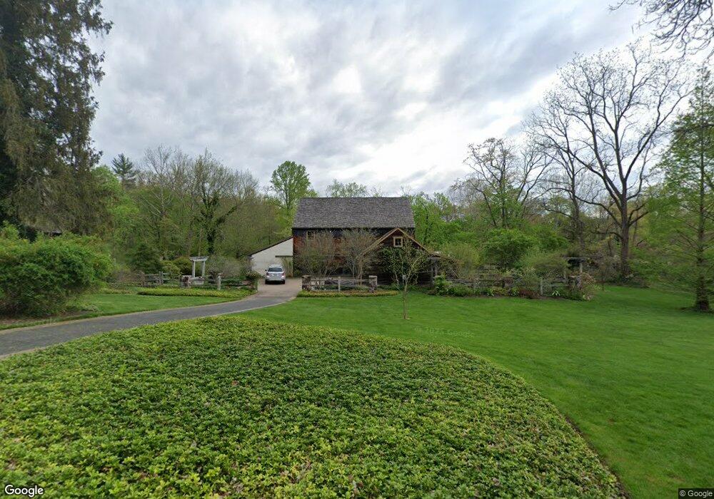
2867 Mill Rd Doylestown, PA 18902
Estimated Value: $845,000 - $1,928,000
3
Beds
3
Baths
3,950
Sq Ft
$362/Sq Ft
Est. Value
About This Home
This home is located at 2867 Mill Rd, Doylestown, PA 18902 and is currently estimated at $1,430,915, approximately $362 per square foot. 2867 Mill Rd is a home located in Bucks County with nearby schools including Buckingham Elementary School, Holicong Middle School, and Central Bucks High School - East.
Ownership History
Date
Name
Owned For
Owner Type
Purchase Details
Closed on
Dec 30, 1993
Sold by
Georgetown Builders Inc
Bought by
Microtech Inc
Current Estimated Value
Home Financials for this Owner
Home Financials are based on the most recent Mortgage that was taken out on this home.
Original Mortgage
$254,000
Interest Rate
7.01%
Purchase Details
Closed on
Aug 20, 1982
Sold by
Chaiken Sheldon A and Chaiken Shirley C
Bought by
Bartell Michael T and Bartell Doris L
Create a Home Valuation Report for This Property
The Home Valuation Report is an in-depth analysis detailing your home's value as well as a comparison with similar homes in the area
Home Values in the Area
Average Home Value in this Area
Purchase History
| Date | Buyer | Sale Price | Title Company |
|---|---|---|---|
| Microtech Inc | $280,000 | -- | |
| Bartell Michael T | $200,000 | -- |
Source: Public Records
Mortgage History
| Date | Status | Borrower | Loan Amount |
|---|---|---|---|
| Previous Owner | Microtech Inc | $254,000 |
Source: Public Records
Tax History
| Year | Tax Paid | Tax Assessment Tax Assessment Total Assessment is a certain percentage of the fair market value that is determined by local assessors to be the total taxable value of land and additions on the property. | Land | Improvement |
|---|---|---|---|---|
| 2025 | $13,085 | $80,370 | $16,800 | $63,570 |
| 2024 | $13,085 | $80,370 | $16,800 | $63,570 |
| 2023 | $12,641 | $80,370 | $16,800 | $63,570 |
| 2022 | $12,490 | $80,370 | $16,800 | $63,570 |
| 2021 | $12,341 | $80,370 | $16,800 | $63,570 |
| 2020 | $12,341 | $80,370 | $16,800 | $63,570 |
| 2019 | $12,260 | $80,370 | $16,800 | $63,570 |
| 2018 | $12,260 | $80,370 | $16,800 | $63,570 |
| 2017 | $12,160 | $80,370 | $16,800 | $63,570 |
| 2016 | $12,281 | $80,370 | $16,800 | $63,570 |
| 2015 | -- | $76,600 | $16,800 | $59,800 |
| 2014 | -- | $76,600 | $16,800 | $59,800 |
Source: Public Records
Map
Nearby Homes
- 2918 Snake Hill Rd
- 3889 Robin Rd
- 2980 Yorkshire Rd
- 4245 Mechanicsville Rd
- 3775 Buckingham Dr
- 3795 Route 202
- 2798 Forge Place
- 117 Windover Ln
- 3660 Buttonwood Dr
- 3455 & 3479 Durham Rd
- 34 Houk Rd
- 000 Cherry Ln
- 5025 Anderson Rd
- 45 Springs Dr
- 106 Saddle Dr
- 2209 Swamp Rd
- 150 Watercrest Dr
- 152 Watercrest Dr
- 4928 Edgewood Rd
- 223 Cherry Ln
- 2835 Mill Rd
- 2885 Mill Rd
- 4078 Spring Valley Rd
- 2881 Furlong Rd
- 2898 Mill Rd
- 2869 Furlong Rd
- 2890 Furlong Rd
- 4059 Spring Valley Rd
- 2918 Mill Rd
- 2866 Furlong Rd
- 2841 Furlong Rd
- 2920 Valley View Dr
- 4128 Route 202
- 2767 Mill Rd
- 2852 Furlong Rd
- 4143 E State St
- 4041 Spring Valley Rd
- 4120 Route 202
- 4120 Route 202 Unit 202
- 4219 Route 202
Your Personal Tour Guide
Ask me questions while you tour the home.