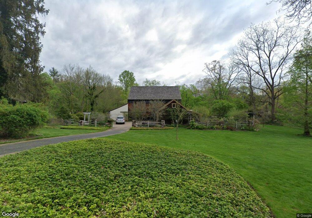
2867 Mill Rd Doylestown, PA 18902
Estimated Value: $914,000 - $1,842,000
About This Home
This home is located at 2867 Mill Rd, Doylestown, PA 18902 and is currently estimated at $1,310,355, approximately $331 per square foot. 2867 Mill Rd is a home located in Bucks County with nearby schools including Buckingham Elementary School, Holicong Middle School, and Central Bucks High School - East.
Ownership History
We collect this data history from publicly available records. To have your information removed, we recommend requesting removal directly through your county’s website.
Purchase Details
Home Financials for this Owner
Home Financials are based on the most recent Mortgage that was taken out on this home.Purchase Details
Home Values in the Area
Average Home Value in this Area
Purchase History
We collect this data history from publicly available records. To have your information removed, we recommend requesting removal directly through your county’s website.
| Date | Buyer | Sale Price | Title Company |
|---|---|---|---|
| $280,000 | -- | ||
| $200,000 | -- |
Mortgage History
We collect this data history from publicly available records. To have your information removed, we recommend requesting removal directly through your county’s website.
| Date | Status | Borrower | Loan Amount |
|---|---|---|---|
| Previous Owner | $254,000 |
Tax History
We collect this data history from publicly available records. To have your information removed, we recommend requesting removal directly through your county’s website.
| Year | Tax Paid | Tax Assessment Tax Assessment Total Assessment is a certain percentage of the fair market value that is determined by local assessors to be the total taxable value of land and additions on the property. | Land | Improvement |
|---|---|---|---|---|
| 2026 | $13,705 | $80,370 | $16,800 | $63,570 |
| 2025 | $13,085 | $80,370 | $16,800 | $63,570 |
| 2024 | $13,085 | $80,370 | $16,800 | $63,570 |
| 2023 | $12,641 | $80,370 | $16,800 | $63,570 |
| 2022 | $12,490 | $80,370 | $16,800 | $63,570 |
| 2021 | $12,341 | $80,370 | $16,800 | $63,570 |
| 2020 | $12,341 | $80,370 | $16,800 | $63,570 |
| 2019 | $12,260 | $80,370 | $16,800 | $63,570 |
| 2018 | $12,260 | $80,370 | $16,800 | $63,570 |
| 2017 | $12,160 | $80,370 | $16,800 | $63,570 |
| 2016 | $12,281 | $80,370 | $16,800 | $63,570 |
| 2015 | -- | $76,600 | $16,800 | $59,800 |
| 2014 | -- | $76,600 | $16,800 | $59,800 |
Map
- 2885 Mill Rd
- 2723 Mill Rd
- 3870 York Rd
- 2959 Burnt House Hill Rd
- 3795 Route 202
- 4612 Sands Way
- 4009 Smoke Rd
- 4203 Greenspire Ln
- 4040 Diane Way
- 3836 Taylortown Rd
- 2319 Forest Grove Rd
- 3844 Springtown Rd
- 4853 Indigo Dr
- 4687 Woodfield Cir
- 5 Pemberton Ln
- 3740 Concord Rd
- 3039 Durham Rd
- 3555 Burnt House Hill Rd
- 4858 W Blossom Dr
- 30 Farm House Ln
- 2835 Mill Rd
- 4078 Spring Valley Rd
- 2881 Furlong Rd
- 2898 Mill Rd
- 2869 Furlong Rd
- 2890 Furlong Rd
- 4059 Spring Valley Rd
- 2918 Mill Rd
- 2866 Furlong Rd
- 2841 Furlong Rd
- 2920 Valley View Dr
- 4128 Route 202
- 2767 Mill Rd
- 2852 Furlong Rd
- 4143 E State St
- 4041 Spring Valley Rd
- 4120 Route 202
- 4120 Route 202 Unit 202
- 4219 Route 202
- 4106 Route 202 Unit 1
Ask me questions while you tour the home.