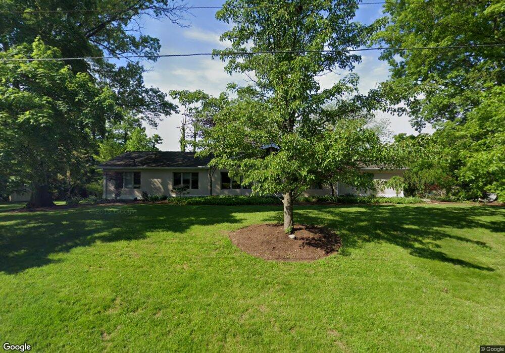
287 Compton Ridge Dr Cincinnati, OH 45215
Estimated Value: $465,000 - $559,500
3
Beds
3
Baths
2,243
Sq Ft
$233/Sq Ft
Est. Value
About This Home
This home is located at 287 Compton Ridge Dr, Cincinnati, OH 45215 and is currently estimated at $521,875, approximately $232 per square foot. 287 Compton Ridge Dr is a home located in Hamilton County with nearby schools including Wyoming High School.
Ownership History
Date
Name
Owned For
Owner Type
Purchase Details
Closed on
Apr 23, 1998
Sold by
Owsiany Dorothy J
Bought by
Vamosi Zsolt S and Vamosi Kathleen
Current Estimated Value
Home Financials for this Owner
Home Financials are based on the most recent Mortgage that was taken out on this home.
Original Mortgage
$229,500
Outstanding Balance
$51,577
Interest Rate
7.26%
Estimated Equity
$470,298
Purchase Details
Closed on
Sep 18, 1996
Sold by
Owsiany Dorothy J
Bought by
Owsiany Dorothy J
Create a Home Valuation Report for This Property
The Home Valuation Report is an in-depth analysis detailing your home's value as well as a comparison with similar homes in the area
Home Values in the Area
Average Home Value in this Area
Purchase History
| Date | Buyer | Sale Price | Title Company |
|---|---|---|---|
| Vamosi Zsolt S | $215,000 | -- | |
| Owsiany Dorothy J | -- | -- |
Source: Public Records
Mortgage History
| Date | Status | Borrower | Loan Amount |
|---|---|---|---|
| Open | Vamosi Zsolt S | $229,500 |
Source: Public Records
Tax History Compared to Growth
Tax History
| Year | Tax Paid | Tax Assessment Tax Assessment Total Assessment is a certain percentage of the fair market value that is determined by local assessors to be the total taxable value of land and additions on the property. | Land | Improvement |
|---|---|---|---|---|
| 2024 | $8,751 | $147,329 | $27,762 | $119,567 |
| 2023 | $8,069 | $147,329 | $27,762 | $119,567 |
| 2022 | $7,352 | $108,553 | $29,428 | $79,125 |
| 2021 | $7,163 | $108,553 | $29,428 | $79,125 |
| 2020 | $7,328 | $108,553 | $29,428 | $79,125 |
| 2019 | $7,479 | $102,407 | $27,762 | $74,645 |
| 2018 | $7,482 | $102,407 | $27,762 | $74,645 |
| 2017 | $7,164 | $102,407 | $27,762 | $74,645 |
| 2016 | $5,691 | $93,986 | $26,355 | $67,631 |
| 2015 | $5,757 | $93,986 | $26,355 | $67,631 |
| 2014 | $5,772 | $93,986 | $26,355 | $67,631 |
| 2013 | $5,432 | $84,672 | $23,744 | $60,928 |
Source: Public Records
Map
Nearby Homes
- 377 Compton Rd
- 305 Compton Hills Dr
- 281 Compton Rd
- 204 Brocdorf Dr
- 239 Compton Ridge Dr
- 253 Compton Rd
- 254 Compton Rd
- 271 Poage Farm Rd
- 194 Mount Pleasant Ave
- 158 Congress Run Rd
- 513 Chisholm Trail
- 525 Chisholm Trail
- 163 Compton Rd
- 216 Hilltop Ln
- 926 Reily Rd
- 320 Reily Rd
- 401 W Galbraith Rd
- 500 Laramie Trail
- 399 W Galbraith Rd
- 8608 Long Ln
- 305 Ardon Ln
- 288 Compton Ridge Dr
- 236 Brocdorf Dr
- 275 Compton Ridge Dr
- 284 Compton Ridge Dr
- 308 Ardon Ln
- 312 Ardon Ln
- 360 Brocdorf Dr
- 316 Ardon Ln
- 232 Brocdorf Dr
- 321 Ardon Ln
- 276 Compton Ridge Dr
- 237 Brocdorf Dr
- 320 Ardon Ln
- 269 Compton Ridge Dr
- 359 Brocdorf Dr
- 270 Compton Ridge Dr
- 364 Brocdorf Dr
- 331 Ardon Ln
- 228 Brocdorf Dr