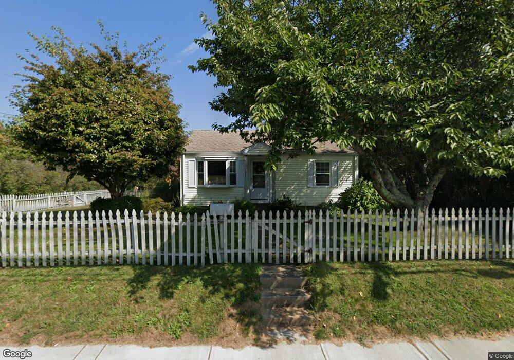
287 High St Wakefield, RI 02879
Estimated Value: $383,000 - $474,000
2
Beds
1
Bath
720
Sq Ft
$585/Sq Ft
Est. Value
About This Home
This home is located at 287 High St, Wakefield, RI 02879 and is currently estimated at $421,001, approximately $584 per square foot. 287 High St is a home located in Washington County with nearby schools including South Kingstown High School, Monsignor Matthew Clarke Catholic Regional School, and Bradley School-South.
Ownership History
Date
Name
Owned For
Owner Type
Purchase Details
Closed on
Jun 22, 2001
Sold by
Iemma Steven A
Bought by
Lawrence Sheila J
Current Estimated Value
Home Financials for this Owner
Home Financials are based on the most recent Mortgage that was taken out on this home.
Original Mortgage
$86,000
Outstanding Balance
$32,639
Interest Rate
7.09%
Estimated Equity
$388,362
Purchase Details
Closed on
Apr 30, 1997
Sold by
Dyer Donna M
Bought by
Iemma Steven A
Home Financials for this Owner
Home Financials are based on the most recent Mortgage that was taken out on this home.
Original Mortgage
$91,000
Interest Rate
7.85%
Purchase Details
Closed on
Apr 21, 1993
Sold by
Kearns Peter E and Kearns Virginia A
Bought by
Jobin Donna M
Home Financials for this Owner
Home Financials are based on the most recent Mortgage that was taken out on this home.
Original Mortgage
$88,000
Interest Rate
7.45%
Create a Home Valuation Report for This Property
The Home Valuation Report is an in-depth analysis detailing your home's value as well as a comparison with similar homes in the area
Home Values in the Area
Average Home Value in this Area
Purchase History
| Date | Buyer | Sale Price | Title Company |
|---|---|---|---|
| Lawrence Sheila J | $125,000 | -- | |
| Iemma Steven A | $91,000 | -- | |
| Jobin Donna M | $88,000 | -- |
Source: Public Records
Mortgage History
| Date | Status | Borrower | Loan Amount |
|---|---|---|---|
| Open | Jobin Donna M | $86,000 | |
| Previous Owner | Jobin Donna M | $91,000 | |
| Previous Owner | Jobin Donna M | $88,000 |
Source: Public Records
Tax History
| Year | Tax Paid | Tax Assessment Tax Assessment Total Assessment is a certain percentage of the fair market value that is determined by local assessors to be the total taxable value of land and additions on the property. | Land | Improvement |
|---|---|---|---|---|
| 2025 | $2,632 | $294,400 | $145,100 | $149,300 |
| 2024 | $2,554 | $231,100 | $111,600 | $119,500 |
| 2023 | $2,554 | $231,100 | $111,600 | $119,500 |
| 2022 | $2,531 | $231,100 | $111,600 | $119,500 |
| 2021 | $2,592 | $179,400 | $92,000 | $87,400 |
| 2020 | $2,592 | $179,400 | $92,000 | $87,400 |
| 2019 | $2,592 | $179,400 | $92,000 | $87,400 |
| 2018 | $2,140 | $136,500 | $61,300 | $75,200 |
| 2017 | $2,090 | $136,500 | $61,300 | $75,200 |
| 2016 | $2,060 | $136,500 | $61,300 | $75,200 |
| 2015 | $2,171 | $139,900 | $65,000 | $74,900 |
| 2014 | $2,166 | $139,900 | $65,000 | $74,900 |
Source: Public Records
Map
Nearby Homes
- 48 Stone Bridge Dr
- 301 Church St Unit 103
- 23 Rockland Dr
- 131 Columbia St
- 35 Abbey Rd
- 20 Cleveland St
- 39 Hazard Ave
- 35 Whittier Dr
- 37 Whittier Dr
- 45 Cherry Ln Unit C
- 57 Rocky Brook Way
- 39 Secluded Dr
- 260 Sweet Allen Farm Rd Unit 3
- 15 Jessica Ln
- 66 Christopher St
- 44 Vespia Ln
- 56 Vespia Ln
- 1808 Kingstown Rd
- 100 Spartina Cove Way
- 507 Curtis Corner Rd
Your Personal Tour Guide
Ask me questions while you tour the home.