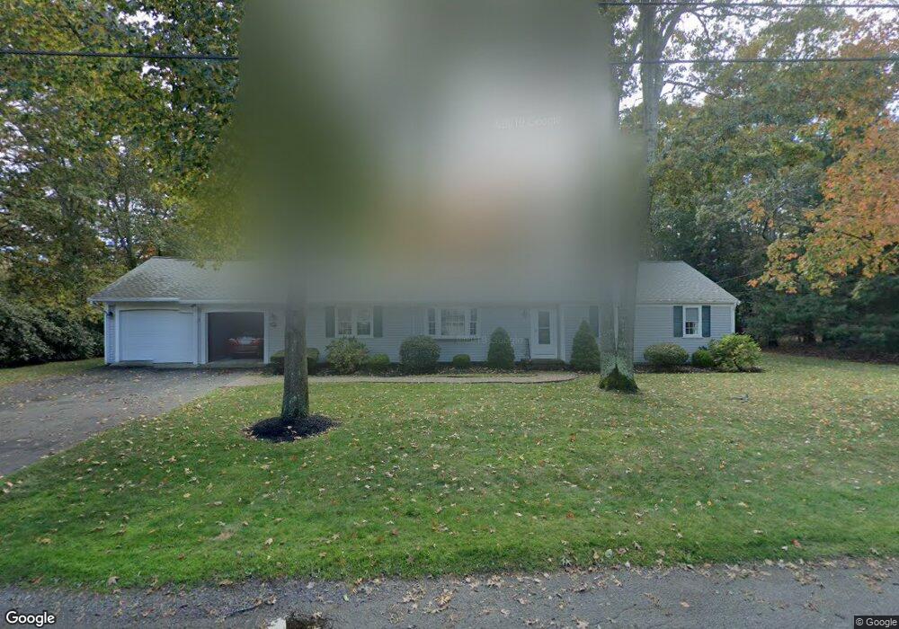
287 Stoney Cliff Rd Centerville, MA 02632
Centerville NeighborhoodEstimated Value: $628,000 - $710,000
3
Beds
2
Baths
1,716
Sq Ft
$387/Sq Ft
Est. Value
About This Home
This home is located at 287 Stoney Cliff Rd, Centerville, MA 02632 and is currently estimated at $663,420, approximately $386 per square foot. 287 Stoney Cliff Rd is a home located in Barnstable County with nearby schools including Centerville Elementary School, Barnstable United Elementary School, and Barnstable Intermediate School.
Ownership History
Date
Name
Owned For
Owner Type
Purchase Details
Closed on
Jul 16, 2025
Sold by
Bernard E Suszinski T E and Bernard Mccarthy
Bought by
Mccarthy Centerville Rt and Mccarthy
Current Estimated Value
Purchase Details
Closed on
Jul 21, 2022
Sold by
Suszinski Bernard E
Bought by
Bernard E Suszinski T E and Bernard Suszinski
Purchase Details
Closed on
Nov 18, 1969
Bought by
Suszinski Bernard and Suszinski Phyllis
Create a Home Valuation Report for This Property
The Home Valuation Report is an in-depth analysis detailing your home's value as well as a comparison with similar homes in the area
Home Values in the Area
Average Home Value in this Area
Purchase History
We collect this data history from publicly available records. To have your information removed, we recommend requesting removal directly through your county’s website.
| Date | Buyer | Sale Price | Title Company |
|---|---|---|---|
| Mccarthy Centerville Rt | -- | -- | |
| Mccarthy Centerville Rt | -- | -- | |
| Bernard E Suszinski T E | -- | None Available | |
| Bernard E Suszinski T E | -- | None Available | |
| Suszinski Bernard | -- | -- |
Source: Public Records
Tax History
| Year | Tax Paid | Tax Assessment Tax Assessment Total Assessment is a certain percentage of the fair market value that is determined by local assessors to be the total taxable value of land and additions on the property. | Land | Improvement |
|---|---|---|---|---|
| 2025 | $4,733 | $585,000 | $153,600 | $431,400 |
| 2024 | $4,497 | $575,800 | $153,600 | $422,200 |
| 2023 | $4,233 | $507,500 | $139,600 | $367,900 |
| 2022 | $4,057 | $420,900 | $103,400 | $317,500 |
| 2021 | $3,824 | $364,500 | $103,400 | $261,100 |
| 2020 | $3,889 | $354,800 | $103,400 | $251,400 |
| 2019 | $3,687 | $326,900 | $103,400 | $223,500 |
| 2018 | $3,245 | $289,200 | $108,800 | $180,400 |
| 2017 | $3,015 | $280,200 | $108,800 | $171,400 |
| 2016 | $3,065 | $281,200 | $109,800 | $171,400 |
| 2015 | $2,936 | $270,600 | $106,700 | $163,900 |
Source: Public Records
Map
Nearby Homes
- 493 Prince Hinckley Rd
- 172 Skunknet Rd
- 315 Prince Hinckley Rd
- 562 Skunknet Rd
- 117 Elijah Childs Ln
- 51 Larch Ln
- 27 Lietrim Cir
- 38 White Oak Trail
- 1309 Shootflying Hill Rd
- 1309 Shootflying Hill Rd
- 1115 Shootflying Hill Rd
- 136 Sheaffer Rd
- 37 Ansel Howland Rd
- 53 Hadrada Ln
- 352 Nye Rd
- 900 Old Stage Rd
- 54 Rainbow Dr
- 52 Windlass Ln
- 169 Cedric Rd
- 47 May Ln
- 297 Stoney Cliff Rd
- 273 Stoney Cliff Rd
- 16 Muskeget Ln
- 26 Muskeget Ln
- 286 Stoney Cliff Rd
- 99 Buckskin Path
- 40 Muskeget Ln
- 298 Stoney Cliff Rd
- 274 Stoney Cliff Rd
- 19 Muskeget Ln
- 312 Skunknet Rd
- 110 Buckskin Path
- 139 Buckskin Path
- 343 Skunknet Rd
- 29 Muskeget Ln
- 353 Skunknet Rd
- 81 Buckskin Path
- 333 Skunknet Rd
- 256 Stoney Cliff Rd
- 30 Skunknet Rd
Your Personal Tour Guide
Ask me questions while you tour the home.