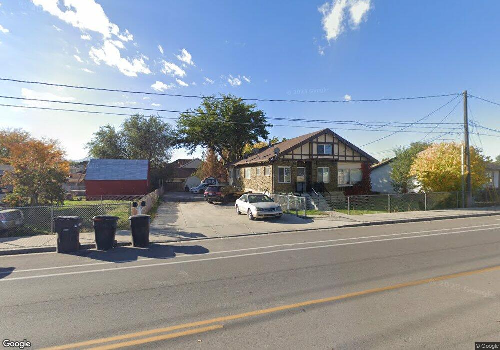
287 W 920 S Provo, UT 84601
Franklin NeighborhoodEstimated Value: $530,000 - $731,000
7
Beds
2
Baths
3,106
Sq Ft
$205/Sq Ft
Est. Value
About This Home
This home is located at 287 W 920 S, Provo, UT 84601 and is currently estimated at $635,314, approximately $204 per square foot. 287 W 920 S is a home located in Utah County with nearby schools including Spring Creek Elementary School, Centennial Middle School, and Timpview High School.
Ownership History
Date
Name
Owned For
Owner Type
Purchase Details
Closed on
Mar 31, 2015
Sold by
Gillespie Robert M and Gillespie Mary C
Bought by
J J Bakd Lc
Current Estimated Value
Home Financials for this Owner
Home Financials are based on the most recent Mortgage that was taken out on this home.
Original Mortgage
$150,000
Outstanding Balance
$115,557
Interest Rate
3.76%
Mortgage Type
Credit Line Revolving
Estimated Equity
$519,757
Create a Home Valuation Report for This Property
The Home Valuation Report is an in-depth analysis detailing your home's value as well as a comparison with similar homes in the area
Home Values in the Area
Average Home Value in this Area
Purchase History
| Date | Buyer | Sale Price | Title Company |
|---|---|---|---|
| J J Bakd Lc | -- | Greenbrier Title Ins Ag |
Source: Public Records
Mortgage History
| Date | Status | Borrower | Loan Amount |
|---|---|---|---|
| Open | J J Bakd Lc | $150,000 |
Source: Public Records
Tax History
| Year | Tax Paid | Tax Assessment Tax Assessment Total Assessment is a certain percentage of the fair market value that is determined by local assessors to be the total taxable value of land and additions on the property. | Land | Improvement |
|---|---|---|---|---|
| 2025 | $2,613 | $294,360 | -- | -- |
| 2024 | $2,613 | $257,180 | $0 | $0 |
| 2023 | $2,624 | $254,595 | $0 | $0 |
| 2022 | $2,478 | $242,495 | $0 | $0 |
| 2021 | $2,067 | $352,700 | $141,100 | $211,600 |
| 2020 | $1,969 | $315,000 | $126,000 | $189,000 |
| 2019 | $1,761 | $293,000 | $132,700 | $160,300 |
| 2018 | $1,510 | $254,800 | $143,200 | $111,600 |
| 2017 | $1,292 | $119,790 | $0 | $0 |
| 2016 | $1,163 | $100,485 | $0 | $0 |
| 2015 | $1,046 | $91,355 | $0 | $0 |
| 2014 | $982 | $89,375 | $0 | $0 |
Source: Public Records
Map
Nearby Homes
- 939 S Freedom Blvd Unit 11
- 939 S Freedom Blvd Unit 13
- 933 S Freedom Blvd Unit 7
- 933 S Blvd W
- 340 W 920 S Unit 16
- 991 S 500 W
- 412 W Mcclellan Ct
- 1095 S 500 W Unit 11
- 747 S 500 W
- 711 S 500 W
- 131 S Meadow Dr Unit 20
- 151 S Meadow Dr Unit 19
- 239 S Meadow Dr Unit 10
- 151 S Meadow Dr
- 330 W 600 S
- 648 S 500 W Unit 4
- 608 S 500 W Unit 2
- 516 S Freedom Blvd
- 389 W 500 S
- 593 W 1220 S
- 265 W 920 S
- 299 W 920 S
- 282 W 960 S
- 282 W 960 S
- 282 W 960 S Unit C
- 282 W 960 S Unit B
- 282 W 960 S Unit A
- 282 W 960 S Unit F
- 282 W 960 S Unit F
- 282 W 960 S Unit D
- 282 W 960 S Unit E
- 282 W 960 S Unit C
- 255 W 920 S
- 301 W 920 S
- 276 W 920 S
- 280 W 960 S
- 280 W 960 S
- 280 W 960 S # E Sunrise VI
- 280 W 960 S
- 280 W 960 S
Your Personal Tour Guide
Ask me questions while you tour the home.