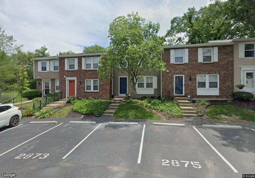
2871 Mossy Brink Ct Maineville, OH 45039
Landen NeighborhoodEstimated Value: $190,805 - $222,000
3
Beds
2
Baths
1,220
Sq Ft
$170/Sq Ft
Est. Value
About This Home
This home is located at 2871 Mossy Brink Ct, Maineville, OH 45039 and is currently estimated at $207,451, approximately $170 per square foot. 2871 Mossy Brink Ct is a home located in Warren County with nearby schools including Kings Junior High School, Kings High School, and St. Margaret of York School.
Ownership History
Date
Name
Owned For
Owner Type
Purchase Details
Closed on
Nov 18, 2008
Sold by
Dinsmore Kendra E
Bought by
Dinsmore Karen E
Current Estimated Value
Purchase Details
Closed on
Oct 27, 1993
Sold by
Pensyl Karen S and Pensyl Karen S
Bought by
Dinsmore and Dinsmore Karen E
Purchase Details
Closed on
Aug 3, 1988
Sold by
Cetrulo Camille M and Cetrulo Camille M
Bought by
Pensyl and Pensyl Karen S
Purchase Details
Closed on
Mar 10, 1983
Sold by
Ryan Homes & Inc
Bought by
Cetrulo Cetrulo and Cetrulo Camille M
Create a Home Valuation Report for This Property
The Home Valuation Report is an in-depth analysis detailing your home's value as well as a comparison with similar homes in the area
Home Values in the Area
Average Home Value in this Area
Purchase History
| Date | Buyer | Sale Price | Title Company |
|---|---|---|---|
| Dinsmore Karen E | -- | None Available | |
| Dinsmore | $60,000 | -- | |
| Pensyl | $57,000 | -- | |
| Cetrulo Cetrulo | $54,900 | -- |
Source: Public Records
Tax History
| Year | Tax Paid | Tax Assessment Tax Assessment Total Assessment is a certain percentage of the fair market value that is determined by local assessors to be the total taxable value of land and additions on the property. | Land | Improvement |
|---|---|---|---|---|
| 2025 | $2,608 | $49,470 | $14,000 | $35,470 |
| 2024 | $2,608 | $49,470 | $14,000 | $35,470 |
| 2023 | $2,073 | $35,822 | $4,305 | $31,517 |
| 2022 | $2,073 | $35,823 | $4,305 | $31,518 |
| 2021 | $1,738 | $35,823 | $4,305 | $31,518 |
| 2020 | $1,679 | $29,124 | $3,500 | $25,624 |
| 2019 | $1,702 | $29,124 | $3,500 | $25,624 |
| 2018 | $1,707 | $29,124 | $3,500 | $25,624 |
| 2017 | $1,672 | $25,463 | $2,979 | $22,484 |
| 2016 | $1,715 | $25,463 | $2,979 | $22,484 |
| 2015 | $972 | $25,463 | $2,979 | $22,484 |
| 2014 | $972 | $24,250 | $2,840 | $21,410 |
| 2013 | $975 | $29,940 | $3,500 | $26,440 |
Source: Public Records
Map
Nearby Homes
- 2898 Mossy Brink Ct Unit 19
- 8846 Morley Place
- 8730 Exeter Place
- 2956 Kingsley Ct
- 2491 Old Mill Rd
- 8480 Island Pines Place
- 8582 Southland Dr
- 9626 Greenery Ct
- 8839 Pollard Place
- 3464 Simpson Trace
- 3541 Green Haven Way
- 9282 Nolin Orchard Ln
- 2831 Jessica Ct
- 9351 Gardenside Ln
- 8050 Halyard Ct
- 2845 Columbia Trail
- 2769 Columbia Trail
- 8111 Saddleback Place
- 2675 Carriagegate Ln
- 300 Oak Dr
- 2869 Mossy Brink Ct
- 2873 Mossy Brink Ct
- 2875 Mossy Brink Ct Unit 71
- 2879 Mossy Brink Ct
- 2859 Mossy Brink Ct
- 2857 Mossy Brink Ct
- 2855 Mossy Brink Ct Unit 44
- 2790 Kimberly Dr
- 2853 Mossy Brink Ct
- 2870 Mossy Brink Ct
- 2887 Mossy Brink Ct
- 2872 Mossy Brink Ct
- 2874 Mossy Brink Ct
- 2780 Kimberly Dr
- 2851 Mossy Brink Ct
- 2800 Kimberly Dr
- 2876 Mossy Brink Ct Unit 56
- 2889 Mossy Brink Ct Unit 25
- 2878 Mossy Brink Ct Unit 57
- 2880 Mossy Brink Ct
Your Personal Tour Guide
Ask me questions while you tour the home.