2871 N 1st St Dekalb, IL 60115
Estimated Value: $356,188 - $517,000
--
Bed
--
Bath
--
Sq Ft
1
Acres
About This Home
This home is located at 2871 N 1st St, Dekalb, IL 60115 and is currently estimated at $409,297. 2871 N 1st St is a home located in DeKalb County with nearby schools including Gwendolyn Brooks Elementary School, Clinton Rosette Middle School, and De Kalb High School.
Ownership History
Date
Name
Owned For
Owner Type
Purchase Details
Closed on
Sep 6, 2023
Sold by
Ball Richard E and Ball Ronda K
Bought by
Ball Family Declaration Of Trust and Ball
Current Estimated Value
Purchase Details
Closed on
Oct 24, 2016
Sold by
Katz Trust
Bought by
Ball Richard E and Ball Ronda K
Home Financials for this Owner
Home Financials are based on the most recent Mortgage that was taken out on this home.
Original Mortgage
$245,000
Interest Rate
2.88%
Mortgage Type
New Conventional
Create a Home Valuation Report for This Property
The Home Valuation Report is an in-depth analysis detailing your home's value as well as a comparison with similar homes in the area
Home Values in the Area
Average Home Value in this Area
Purchase History
| Date | Buyer | Sale Price | Title Company |
|---|---|---|---|
| Ball Family Declaration Of Trust | -- | None Listed On Document | |
| Ball Richard E | $325,000 | -- |
Source: Public Records
Mortgage History
| Date | Status | Borrower | Loan Amount |
|---|---|---|---|
| Previous Owner | Ball Richard E | $245,000 |
Source: Public Records
Tax History Compared to Growth
Tax History
| Year | Tax Paid | Tax Assessment Tax Assessment Total Assessment is a certain percentage of the fair market value that is determined by local assessors to be the total taxable value of land and additions on the property. | Land | Improvement |
|---|---|---|---|---|
| 2024 | $7,108 | $117,440 | $18,683 | $98,757 |
| 2023 | $7,108 | $102,398 | $16,290 | $86,108 |
| 2022 | $6,863 | $93,489 | $14,873 | $78,616 |
| 2021 | $7,483 | $87,685 | $13,950 | $73,735 |
| 2020 | $7,627 | $86,288 | $13,728 | $72,560 |
| 2019 | $7,388 | $82,898 | $13,189 | $69,709 |
| 2018 | $7,316 | $80,087 | $12,742 | $67,345 |
| 2017 | $7,280 | $76,984 | $12,248 | $64,736 |
| 2016 | $6,648 | $75,041 | $11,939 | $63,102 |
| 2015 | -- | $71,102 | $11,312 | $59,790 |
| 2014 | -- | $57,656 | $13,426 | $44,230 |
| 2013 | -- | $60,563 | $14,103 | $46,460 |
Source: Public Records
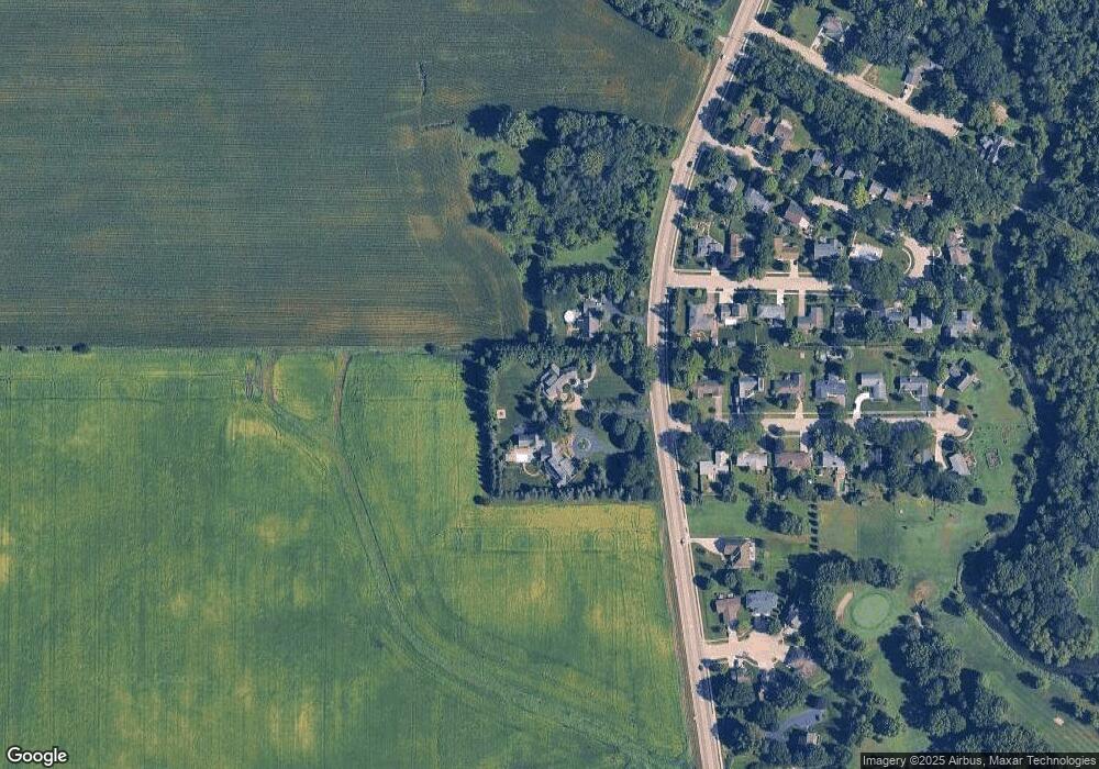
Map
Nearby Homes
- 113 Andresen Ct
- 120 Stoney Creek Rd
- 338 Greenwood N
- 3289 Comstock Ave
- 3323 Comstock Ave
- 2820 N 1st St
- 3051 Fairway Oaks Dr
- 3428 Comstock Ave
- The Samuel Plan at Bridges of Rivermist
- The Wesley Plan at Bridges of Rivermist
- 3467 Roseman Ln
- 301 River Dr
- 102 Quinlan Ave
- 111 E Royal Dr
- 151 Quinlan Ave
- 10179 Rich Rd
- 701 Blackstone Ct
- 141 Terrace Dr
- 3229 Meadow Trail E
- TBD Greenwood Acres Dr
- 2881 N 1st St
- 2855 N 1st St
- 103 Stoney Creek Rd
- 100 Manor Dr
- 100 Stoney Creek Rd
- 0 N 1st St Unit 5479651
- 0 N 1st St
- 104 Manor Dr
- 107 Stoney Creek Rd
- 103 Manor Dr
- 104 Stoney Creek Rd
- 108 Manor Dr
- 111 Stoney Creek Rd
- 105 Manor Dr
- 108 Stoney Creek Rd
- 102 Kishwaukee Ln
- 112 Manor Dr
- 109 Manor Dr
- 2810 N 1st St
- 108 Kishwaukee Ln