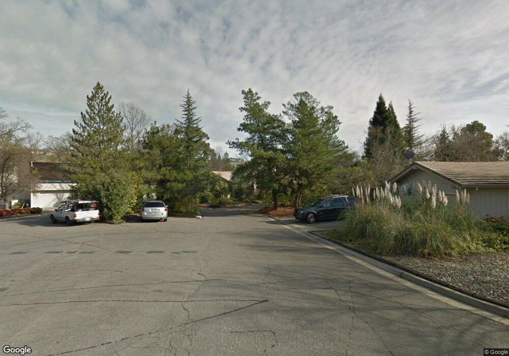
2871 Tam o Shanter Dr El Dorado Hills, CA 95762
Estimated Value: $536,000 - $861,000
4
Beds
3
Baths
2,683
Sq Ft
$284/Sq Ft
Est. Value
About This Home
This home is located at 2871 Tam o Shanter Dr, El Dorado Hills, CA 95762 and is currently estimated at $762,080, approximately $284 per square foot. 2871 Tam o Shanter Dr is a home located in El Dorado County with nearby schools including Silva Valley Elementary School, Rolling Hills Middle School, and Oak Ridge High School.
Ownership History
Date
Name
Owned For
Owner Type
Purchase Details
Closed on
Jun 22, 1999
Sold by
Miner James M Tr and Miner Mary Margaret Tr Etal
Bought by
Miner James M and Miner Mary M
Current Estimated Value
Home Financials for this Owner
Home Financials are based on the most recent Mortgage that was taken out on this home.
Original Mortgage
$40,750
Interest Rate
7.2%
Mortgage Type
Credit Line Revolving
Create a Home Valuation Report for This Property
The Home Valuation Report is an in-depth analysis detailing your home's value as well as a comparison with similar homes in the area
Home Values in the Area
Average Home Value in this Area
Purchase History
| Date | Buyer | Sale Price | Title Company |
|---|---|---|---|
| Miner James M | -- | Placer Title Company |
Source: Public Records
Mortgage History
| Date | Status | Borrower | Loan Amount |
|---|---|---|---|
| Closed | Miner James M | $40,750 |
Source: Public Records
Tax History Compared to Growth
Tax History
| Year | Tax Paid | Tax Assessment Tax Assessment Total Assessment is a certain percentage of the fair market value that is determined by local assessors to be the total taxable value of land and additions on the property. | Land | Improvement |
|---|---|---|---|---|
| 2025 | $3,551 | $342,532 | $66,268 | $276,264 |
| 2024 | $3,551 | $335,817 | $64,969 | $270,848 |
| 2023 | $3,455 | $329,234 | $63,696 | $265,538 |
| 2022 | $3,432 | $322,780 | $62,448 | $260,332 |
| 2021 | $3,384 | $316,452 | $61,224 | $255,228 |
| 2020 | $3,340 | $313,208 | $60,597 | $252,611 |
| 2019 | $3,287 | $307,067 | $59,409 | $247,658 |
| 2018 | $3,167 | $301,047 | $58,245 | $242,802 |
| 2017 | $3,110 | $295,145 | $57,103 | $238,042 |
| 2016 | $3,069 | $289,359 | $55,984 | $233,375 |
| 2015 | $2,989 | $285,014 | $55,144 | $229,870 |
| 2014 | $2,989 | $279,433 | $54,065 | $225,368 |
Source: Public Records
Map
Nearby Homes
- 921 Stoneman Way
- 2846 Stephens Ln
- 1780 Darwin Way
- 3197 Warren Ln
- 4165 Brisbane Cir
- 4251 Hensley Cir
- 2668 Tam o Shanter Dr
- 2703 King Richard Dr
- 4304 Brisbane Cir
- 2628 Tam o Shanter Dr
- 6041 Toscana Loop
- 3566 Stockwood Way
- 1041 Elmwood Ct
- 1999 Shelby Cir
- 952 King Henry Way
- 3789 Pardee Ct
- 949 King Henry Way
- 5155 Breese Cir
- 954 King Richard Ct
- 5200 Piazza Place
- 2873 Tam o Shanter Dr
- 2869 Tam o Shanter Dr
- 2859 Tam o Shanter Dr
- 2881 Tam o Shanter Dr
- 2874 Tam Oshanter Dr
- 1036 Brookline Cir
- 2874 Tam o Shanter Dr
- 2915 Canterbury Cir
- 2882 Tam o Shanter Dr
- 1032 Brookline Cir
- 1040 Brookline Cir
- 2901 Tam o Shanter Dr
- 3139 Cairns Place
- 2848 Tam o Shanter Dr
- 2907 Canterbury Cir
- 2901 Tam Oshanter Dr
- 2888 Tam o Shanter Dr
- 2904 Canterbury Cir
- 2870 Springburn Way
- 2880 Springburn Way