28725 Pineview Ln Harbeson, DE 19951
Harbeson NeighborhoodEstimated Value: $438,000 - $615,577
3
Beds
--
Bath
1,425
Sq Ft
$358/Sq Ft
Est. Value
About This Home
This home is located at 28725 Pineview Ln, Harbeson, DE 19951 and is currently estimated at $509,526, approximately $357 per square foot. 28725 Pineview Ln is a home with nearby schools including Love Creek Elementary School, Mariner Middle School, and Cape Henlopen High School.
Ownership History
Date
Name
Owned For
Owner Type
Purchase Details
Closed on
Dec 1, 2016
Bought by
Lynch Faith
Current Estimated Value
Home Financials for this Owner
Home Financials are based on the most recent Mortgage that was taken out on this home.
Original Mortgage
$171,612
Outstanding Balance
$140,915
Interest Rate
4.08%
Estimated Equity
$368,611
Purchase Details
Closed on
Oct 18, 1994
Bought by
Lynch Lester A and Lynch Faith J
Create a Home Valuation Report for This Property
The Home Valuation Report is an in-depth analysis detailing your home's value as well as a comparison with similar homes in the area
Home Values in the Area
Average Home Value in this Area
Purchase History
| Date | Buyer | Sale Price | Title Company |
|---|---|---|---|
| Lynch Faith | -- | -- | |
| Lynch Lester A | -- | -- |
Source: Public Records
Mortgage History
| Date | Status | Borrower | Loan Amount |
|---|---|---|---|
| Open | Lynch Lester A | $171,612 | |
| Closed | Lynch Lester A | -- |
Source: Public Records
Tax History Compared to Growth
Tax History
| Year | Tax Paid | Tax Assessment Tax Assessment Total Assessment is a certain percentage of the fair market value that is determined by local assessors to be the total taxable value of land and additions on the property. | Land | Improvement |
|---|---|---|---|---|
| 2025 | $228 | $19,650 | $7,300 | $12,350 |
| 2024 | $208 | $19,650 | $7,300 | $12,350 |
| 2023 | $208 | $19,650 | $7,300 | $12,350 |
| 2022 | $198 | $19,650 | $7,300 | $12,350 |
| 2021 | $195 | $19,650 | $7,300 | $12,350 |
| 2020 | $193 | $19,650 | $7,300 | $12,350 |
| 2019 | $193 | $19,650 | $7,300 | $12,350 |
| 2018 | $183 | $19,650 | $0 | $0 |
| 2017 | $176 | $19,650 | $0 | $0 |
| 2016 | $171 | $19,650 | $0 | $0 |
| 2015 | $164 | $19,650 | $0 | $0 |
| 2014 | $161 | $19,650 | $0 | $0 |
Source: Public Records
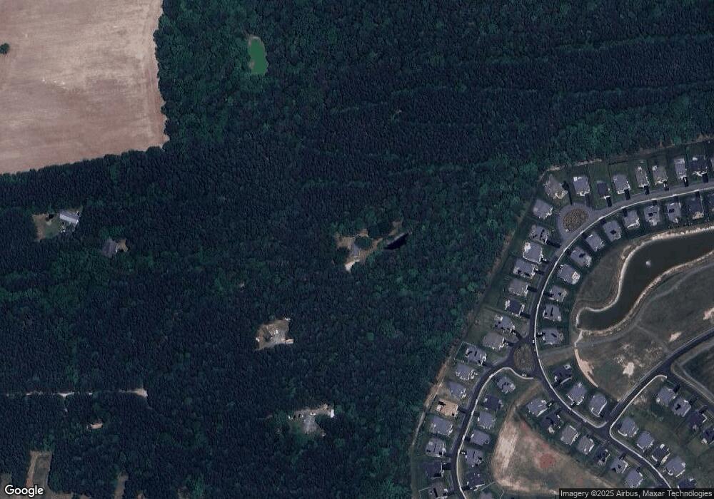
Map
Nearby Homes
- 28659 Harmons Hill Rd
- 24006 Benjamin Harrison Cir
- 29688 Patrick Henry Cir
- Latitude Plan at Wetherby
- Barbados Plan at Wetherby
- St. Kitts Plan at Wetherby
- Antigua Plan at Wetherby
- Aloha Plan at Wetherby
- Dune Plan at Wetherby
- 24533 Robert Andrew Dr
- TBB Robert Andrew Dr Unit DUNE
- TBB Michael Isler Dr Unit BARBADOS
- 24724 Michael Isler Ave
- 24716 Michael Isler Ave
- 24700 Michael Isler Ave
- 24735 Ridgeville Way
- 24711 Ridgeville Way
- 24692 Michael Isler Ave
- 29432 Andrew Jackson Dr
- 24701 Michael Isler Ave
- 29175 Abigail Adams Dr
- 29616 Patrick Henry Cir
- 29169 Abigail Adams Dr
- 29614 Patrick Henry Cir
- 29173 Abigail Adams Dr
- 29610 Patrick Henry Cir
- 29167 Abigail Adams Dr
- 29620 Patrick Henry Cir
- 29622 Patrick Henry Cir
- 29163 Abigail Adams Dr
- 29606 Patrick Henry Cir
- 29604 Patrick Henry Cir
- 29159 Abigail Adams Dr
- 29619 Patrick Henry Cir
- 29166 Abigail Adams Dr
- 29174 Abigail Adams Dr
- 29615 Patrick Henry Cir
- 29602 Patrick Henry Cir
- 29157 Abigail Adams Dr
- 29611 Patrick Henry Cir