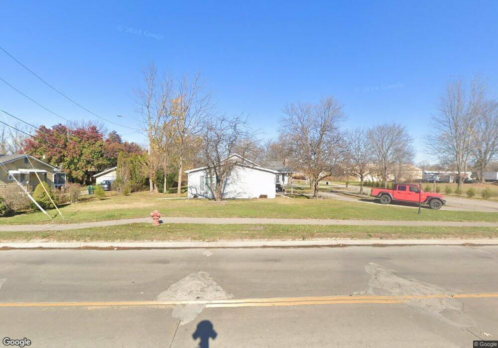
28728 Beverly Rd Unit Bldg-Unit Romulus, MI 48174
Estimated Value: $352,000 - $374,006
4
Beds
3
Baths
3,013
Sq Ft
$120/Sq Ft
Est. Value
About This Home
This home is located at 28728 Beverly Rd Unit Bldg-Unit, Romulus, MI 48174 and is currently estimated at $361,502, approximately $119 per square foot. 28728 Beverly Rd Unit Bldg-Unit is a home located in Wayne County with nearby schools including Romulus Elementary School, Romulus Middle School, and Romulus Senior High School.
Ownership History
Date
Name
Owned For
Owner Type
Purchase Details
Closed on
Jul 23, 2018
Sold by
Connelly Robin Lynn
Bought by
Sandoval Elizabeth Joy and Sandoval Patrick A
Current Estimated Value
Purchase Details
Closed on
Jun 30, 2014
Sold by
Bridenthal Robert and Robert Bridenthal Revocable Tr
Bought by
Connelly Robin Lynn
Purchase Details
Closed on
Mar 5, 2009
Sold by
Bridenthal Robert
Bought by
Bridenthal Robert and Robert Bridenthal Revocable Trust
Create a Home Valuation Report for This Property
The Home Valuation Report is an in-depth analysis detailing your home's value as well as a comparison with similar homes in the area
Home Values in the Area
Average Home Value in this Area
Purchase History
| Date | Buyer | Sale Price | Title Company |
|---|---|---|---|
| Sandoval Elizabeth Joy | $214,000 | None Available | |
| Connelly Robin Lynn | -- | Mta | |
| Bridenthal Robert | -- | None Available |
Source: Public Records
Tax History
| Year | Tax Paid | Tax Assessment Tax Assessment Total Assessment is a certain percentage of the fair market value that is determined by local assessors to be the total taxable value of land and additions on the property. | Land | Improvement |
|---|---|---|---|---|
| 2025 | $6,079 | $172,300 | $0 | $0 |
| 2024 | $6,107 | $160,300 | $0 | $0 |
| 2023 | $5,839 | $153,700 | $0 | $0 |
| 2022 | $6,571 | $137,900 | $0 | $0 |
| 2021 | $6,326 | $118,100 | $0 | $0 |
| 2020 | $7,254 | $117,400 | $0 | $0 |
| 2019 | $7,375 | $116,400 | $0 | $0 |
| 2018 | $2,261 | $71,700 | $0 | $0 |
| 2017 | $4,186 | $71,000 | $0 | $0 |
| 2016 | $4,283 | $75,700 | $0 | $0 |
| 2015 | $6,204 | $71,200 | $0 | $0 |
| 2013 | $6,010 | $63,300 | $0 | $0 |
| 2012 | $1,674 | $63,000 | $27,600 | $35,400 |
Source: Public Records
Map
Nearby Homes
- 6040 Georgia Unit 225
- 6001 E Maple Unit 86
- 6005 Frederick St Unit 56
- 6837 Middlebelt Rd
- 28176 Ecorse Rd
- 29120 van Born Rd
- 0 Hanover Blvd
- 27620 Newcastle St
- 29054 Currier Ave
- 28919 Powers St
- 6237 Inkster Rd
- 7285 Farnum St
- POWERS Powers St
- 0 Ecorse Rd Unit 20251029385
- 27051 Joan St
- 27059 Jeannette Ct
- 0 Ecorse Service Rd
- 4675 Julius Blvd
- 27658 Eton St
- 6338 Hazel St
- 28728 Beverly Rd
- 28740 Beverly Rd
- 6381 Cordell St
- 28764 Beverly Rd
- 6355 Cordell St
- 6369 Cordell St
- 6345 Cordell St
- 6380 Cordell St
- 6335 Cordell St Unit Bldg-Unit
- 6335 Cordell St
- 28684 Beverly Rd
- 6396 Cordell St
- 6354 Cordell St
- 6315 Cordell St
- 6330 Cordell St
- 6377 Loraine St
- 6395 Loraine St
- 6385 Loraine St
- 6303 Cordell St
- 6355 Loraine St
Your Personal Tour Guide
Ask me questions while you tour the home.