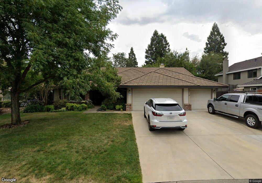
2873 Springburn Way El Dorado Hills, CA 95762
Estimated Value: $758,100 - $852,000
4
Beds
3
Baths
2,490
Sq Ft
$328/Sq Ft
Est. Value
About This Home
This home is located at 2873 Springburn Way, El Dorado Hills, CA 95762 and is currently estimated at $816,775, approximately $328 per square foot. 2873 Springburn Way is a home located in El Dorado County with nearby schools including Silva Valley Elementary School, Rolling Hills Middle School, and Oak Ridge High School.
Ownership History
Date
Name
Owned For
Owner Type
Purchase Details
Closed on
May 4, 2024
Sold by
Dow Roderic S and Dow Rosalind C
Bought by
Dow Family Living Trust and Dow
Current Estimated Value
Create a Home Valuation Report for This Property
The Home Valuation Report is an in-depth analysis detailing your home's value as well as a comparison with similar homes in the area
Home Values in the Area
Average Home Value in this Area
Purchase History
| Date | Buyer | Sale Price | Title Company |
|---|---|---|---|
| Dow Family Living Trust | -- | None Listed On Document | |
| Dow Roderic S | -- | None Listed On Document |
Source: Public Records
Tax History Compared to Growth
Tax History
| Year | Tax Paid | Tax Assessment Tax Assessment Total Assessment is a certain percentage of the fair market value that is determined by local assessors to be the total taxable value of land and additions on the property. | Land | Improvement |
|---|---|---|---|---|
| 2025 | $3,536 | $327,469 | $57,401 | $270,068 |
| 2024 | $3,536 | $321,049 | $56,276 | $264,773 |
| 2023 | $3,316 | $314,755 | $55,173 | $259,582 |
| 2022 | $3,266 | $308,585 | $54,092 | $254,493 |
| 2021 | $3,310 | $302,535 | $53,032 | $249,503 |
| 2020 | $3,315 | $299,434 | $52,489 | $246,945 |
| 2019 | $3,185 | $293,563 | $51,460 | $242,103 |
| 2018 | $3,158 | $287,807 | $50,451 | $237,356 |
| 2017 | $3,018 | $282,164 | $49,462 | $232,702 |
| 2016 | $2,974 | $276,633 | $48,493 | $228,140 |
| 2015 | $2,926 | $272,479 | $47,765 | $224,714 |
| 2014 | $2,926 | $267,143 | $46,830 | $220,313 |
Source: Public Records
Map
Nearby Homes
- 1780 Darwin Way
- 921 Stoneman Way
- 4165 Brisbane Cir
- 2846 Stephens Ln
- 4304 Brisbane Cir
- 3197 Warren Ln
- 2668 Tam o Shanter Dr
- 4251 Hensley Cir
- 2703 King Richard Dr
- 2628 Tam o Shanter Dr
- 3566 Stockwood Way
- 5155 Breese Cir
- 1041 Elmwood Ct
- 3789 Pardee Ct
- 6041 Toscana Loop
- 5520 Sur Mer Dr
- 5528 Sur Mer Dr
- 1999 Shelby Cir
- 5443 Sur Mer Dr
- 3452 Tah Nee Way
- 2867 Springburn Way
- 2879 Springburn Way
- 2704 Musgrave Place
- 2710 Musgrave Place
- 2696 Musgrave Place
- 2885 Springburn Way
- 2861 Springburn Way
- 2870 Springburn Way
- 2716 Musgrave Place
- 2880 Springburn Way
- 1206 Busselton Way
- 2862 Springburn Way
- 2893 Springburn Way
- 2722 Musgrave Place
- 2886 Springburn Way
- 2701 Musgrave Place
- 2707 Musgrave Place
- 2695 Musgrave Place
- 1193 Busselton Way
- 2711 Musgrave Place