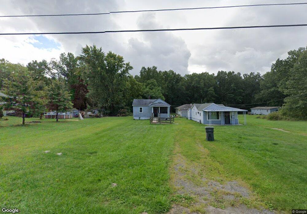
2873 Stacey St Youngstown, OH 44505
McGuffey Heights NeighborhoodEstimated Value: $54,000 - $70,000
2
Beds
2
Baths
1,288
Sq Ft
$49/Sq Ft
Est. Value
About This Home
This home is located at 2873 Stacey St, Youngstown, OH 44505 and is currently estimated at $62,817, approximately $48 per square foot. 2873 Stacey St is a home located in Mahoning County with nearby schools including M.L. King Elementary School, Williamson Elementary School, and East High School.
Ownership History
Date
Name
Owned For
Owner Type
Purchase Details
Closed on
Jun 22, 2022
Bought by
Christian William C
Current Estimated Value
Purchase Details
Closed on
Jun 13, 2022
Sold by
Dickerson Ruby Christian
Bought by
Christian Clarence
Purchase Details
Closed on
Feb 11, 2022
Bought by
Christian William C
Purchase Details
Closed on
Feb 1, 2021
Sold by
Christian Cedric
Bought by
Christian William C
Purchase Details
Closed on
Jan 1, 1990
Bought by
Christian Helen T
Create a Home Valuation Report for This Property
The Home Valuation Report is an in-depth analysis detailing your home's value as well as a comparison with similar homes in the area
Home Values in the Area
Average Home Value in this Area
Purchase History
| Date | Buyer | Sale Price | Title Company |
|---|---|---|---|
| Christian William C | -- | -- | |
| Christian Clarence | -- | None Listed On Document | |
| Christian Clarence | -- | None Listed On Document | |
| Christian William C | -- | -- | |
| Christian William C | -- | None Listed On Document | |
| Christian William C | -- | None Listed On Document | |
| Christian Helen T | -- | -- |
Source: Public Records
Tax History Compared to Growth
Tax History
| Year | Tax Paid | Tax Assessment Tax Assessment Total Assessment is a certain percentage of the fair market value that is determined by local assessors to be the total taxable value of land and additions on the property. | Land | Improvement |
|---|---|---|---|---|
| 2024 | $216 | $4,370 | $380 | $3,990 |
| 2023 | $215 | $4,370 | $380 | $3,990 |
| 2022 | $141 | $2,200 | $330 | $1,870 |
| 2021 | $141 | $2,200 | $330 | $1,870 |
| 2020 | $142 | $2,200 | $330 | $1,870 |
| 2019 | $149 | $2,030 | $300 | $1,730 |
| 2018 | $6 | $2,030 | $300 | $1,730 |
| 2017 | $3 | $2,030 | $300 | $1,730 |
| 2016 | $3 | $2,140 | $300 | $1,840 |
| 2015 | $3 | $2,140 | $300 | $1,840 |
| 2014 | $3 | $2,140 | $300 | $1,840 |
| 2013 | $3 | $2,140 | $300 | $1,840 |
Source: Public Records
Map
Nearby Homes
- 1003 Liberty Rd
- 1214 Brighton St
- 1720 Jacobs Rd
- 227 Greeley Ln
- 902 Miami St
- 1325 Miami Ave
- 2051 Blair Ave
- 405 Drake Ave
- 71 Duncan Ln
- 2951 Megan Cir
- 2831 Benford Ln
- 2954 Megan Cir
- V/L Jacobs Rd
- 566 Sunshine Ave
- OL 38 Mccartney Rd
- 332 Lansdowne Blvd
- 0 Heidi Dr Unit 5141604
- 554 Neoka Dr
- 1538 Republic Ave
- 671 Coitsville Rd