2875 Eastside Hwy Unit Highway Stevensville, MT 59870
Estimated Value: $120,000 - $1,093,517
4
Beds
2
Baths
960
Sq Ft
$632/Sq Ft
Est. Value
About This Home
This home is located at 2875 Eastside Hwy Unit Highway, Stevensville, MT 59870 and is currently estimated at $606,759, approximately $632 per square foot. 2875 Eastside Hwy Unit Highway is a home located in Ravalli County with nearby schools including Stevensville Elementary School, Stevensville Junior High School, and Stevensville High School.
Ownership History
Date
Name
Owned For
Owner Type
Purchase Details
Closed on
Feb 8, 2024
Sold by
Sun Dial Capital Llc
Bought by
Gannett Nikolas S
Current Estimated Value
Purchase Details
Closed on
Jan 21, 2021
Sold by
Sun Dial Capital Llc
Bought by
Montana Department Of Transportation
Purchase Details
Closed on
Aug 4, 2020
Sold by
Locke Evelyn L
Bought by
Sun Dial Capital Llc
Create a Home Valuation Report for This Property
The Home Valuation Report is an in-depth analysis detailing your home's value as well as a comparison with similar homes in the area
Home Values in the Area
Average Home Value in this Area
Purchase History
| Date | Buyer | Sale Price | Title Company |
|---|---|---|---|
| Gannett Nikolas S | -- | First American Title | |
| Montana Department Of Transportation | -- | None Listed On Document | |
| Sun Dial Capital Llc | $662,817 | First American Title |
Source: Public Records
Tax History Compared to Growth
Tax History
| Year | Tax Paid | Tax Assessment Tax Assessment Total Assessment is a certain percentage of the fair market value that is determined by local assessors to be the total taxable value of land and additions on the property. | Land | Improvement |
|---|---|---|---|---|
| 2025 | $600 | $183,645 | $0 | $0 |
| 2024 | $944 | $166,876 | $0 | $0 |
| 2023 | $947 | $166,876 | $0 | $0 |
| 2022 | $920 | $130,413 | $0 | $0 |
| 2021 | $998 | $130,424 | $0 | $0 |
| 2020 | $302 | $69,442 | $0 | $0 |
| 2019 | $123 | $69,442 | $0 | $0 |
| 2018 | $245 | $61,309 | $0 | $0 |
| 2017 | $104 | $61,309 | $0 | $0 |
| 2016 | $232 | $58,435 | $0 | $0 |
| 2015 | $233 | $58,435 | $0 | $0 |
| 2014 | $77 | $26,870 | $0 | $0 |
Source: Public Records
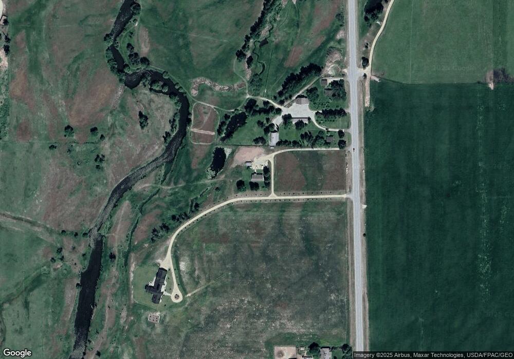
Map
Nearby Homes
- 365 Winters Ln
- 81 and 83 Bell Crossing W
- 605 Groff Ln
- 633 Groff Ln
- 2837 Caribou Ln
- 2792 Huggy Bear Ln
- 2813 Pine Lakes Ct
- 843 Lecoure Ln
- 1013 Majestic Pine Place
- 205 Mountain View Dr
- 763 S Sunset Bench Rd
- 3440 Balsam Dr
- 113 E Main
- 240 Sunset Alley Dr
- 236 Sunset Alley Dr
- 655 Treece Gulch Rd
- 305 5th Ave
- 2630 Dorothy Dr
- 878 S Sunset Bench Rd
- 221 A St N Unit B6
- 2875 Eastside Hwy
- 2911 Eastside Hwy
- 2853 Eastside Hwy
- 2826 Eastside Hwy
- 2704 Alpenglow Rd
- 2712 Alpenglow Rd
- 2957 Eastside Hwy
- 2742 Alpenglow Rd
- 2685 Alpenglow Rd
- 2976 Eastside Hwy
- 2772 Alpenglow Rd
- 2991 Eastside Hwy
- 2780 Alpenglow Rd
- 2995 Eastside Hwy
- 2995 Eastside Hwy
- 227 Bell Crossing E
- 251 Bell Crossing E
- 2749 Alpenglow Rd
- 2785 Eastside Hwy
- 2769 Alpenglow Rd