2876 310th St Cresco, IA 52136
Estimated Value: $137,549
3
Beds
2
Baths
2,256
Sq Ft
$61/Sq Ft
Est. Value
About This Home
This home is located at 2876 310th St, Cresco, IA 52136 and is currently priced at $137,549, approximately $60 per square foot. 2876 310th St is a home located in Winneshiek County with nearby schools including Crestwood High School.
Ownership History
Date
Name
Owned For
Owner Type
Purchase Details
Closed on
Jun 18, 2021
Sold by
Kathleen Elizabeth Rice Revocable Trust
Bought by
Kerian Brandon J and Kerian Lauren
Current Estimated Value
Home Financials for this Owner
Home Financials are based on the most recent Mortgage that was taken out on this home.
Original Mortgage
$215,000
Outstanding Balance
$194,656
Interest Rate
2.9%
Mortgage Type
New Conventional
Purchase Details
Closed on
Dec 4, 2020
Sold by
Kerian Randy J and Kerian Lori M
Bought by
Rice Timothy W
Create a Home Valuation Report for This Property
The Home Valuation Report is an in-depth analysis detailing your home's value as well as a comparison with similar homes in the area
Purchase History
| Date | Buyer | Sale Price | Title Company |
|---|---|---|---|
| Kerian Brandon J | -- | None Available | |
| Kerian Brandon J | $120,000 | None Available | |
| Kerian Brandon J | -- | None Available | |
| Kerian Brandon J | $120,000 | None Available | |
| Kerian Brandon J | -- | None Available | |
| Kerian Brandon J | $7,500 | None Available | |
| Kerian Brandon J | -- | None Available | |
| Kerian Brandon J | $7,500 | None Available | |
| Rice Timothy W | -- | None Available |
Source: Public Records
Mortgage History
| Date | Status | Borrower | Loan Amount |
|---|---|---|---|
| Open | Kerian Brandon J | $215,000 |
Source: Public Records
Tax History
| Year | Tax Paid | Tax Assessment Tax Assessment Total Assessment is a certain percentage of the fair market value that is determined by local assessors to be the total taxable value of land and additions on the property. | Land | Improvement |
|---|---|---|---|---|
| 2021 | $2,122 | $0 | $0 | $0 |
| 2020 | $2,122 | $165,980 | $12,160 | $153,820 |
| 2019 | $2,122 | $175,500 | $0 | $0 |
| 2018 | $2,096 | $175,500 | $0 | $0 |
| 2017 | $2,106 | $175,210 | $0 | $0 |
| 2016 | $2,038 | $176,000 | $0 | $0 |
| 2015 | $1,948 | $169,410 | $0 | $0 |
| 2014 | $1,884 | $169,410 | $0 | $0 |
Source: Public Records
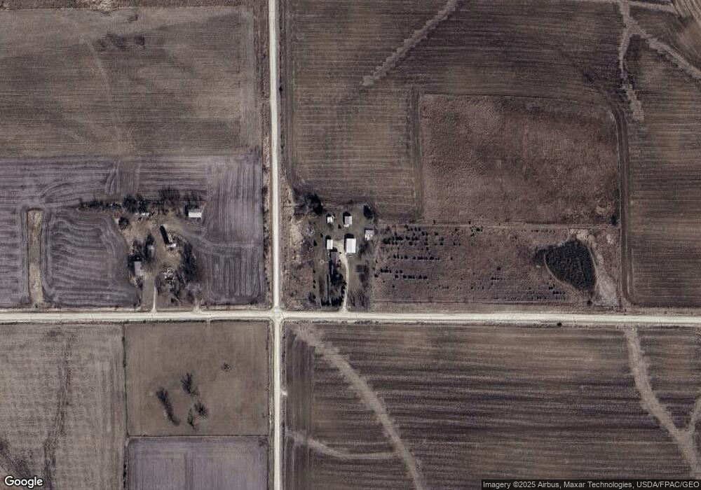
Map
Nearby Homes
- Rd
- 0 Co Rd A23 Unit NOC6333468
- 1112 9th St E
- 120 5th Ave E
- 113 5th Ave E
- 732 N Elm St
- 106 6th Ave W
- 723 2nd St W
- 205 6th Ave W
- 226 4th Ave W
- 619 3rd St W
- 729 2nd St SW
- 306 5th Ave W
- 303 3rd St SW Unit Farley
- TBD Middle Hesper Rd
- 553 Massman Dr
- 2861 Clay Hill Rd
- 205 Ohio St Unit 4
- 16267 Yankee Ave
- 415 Highland Dr
Your Personal Tour Guide
Ask me questions while you tour the home.