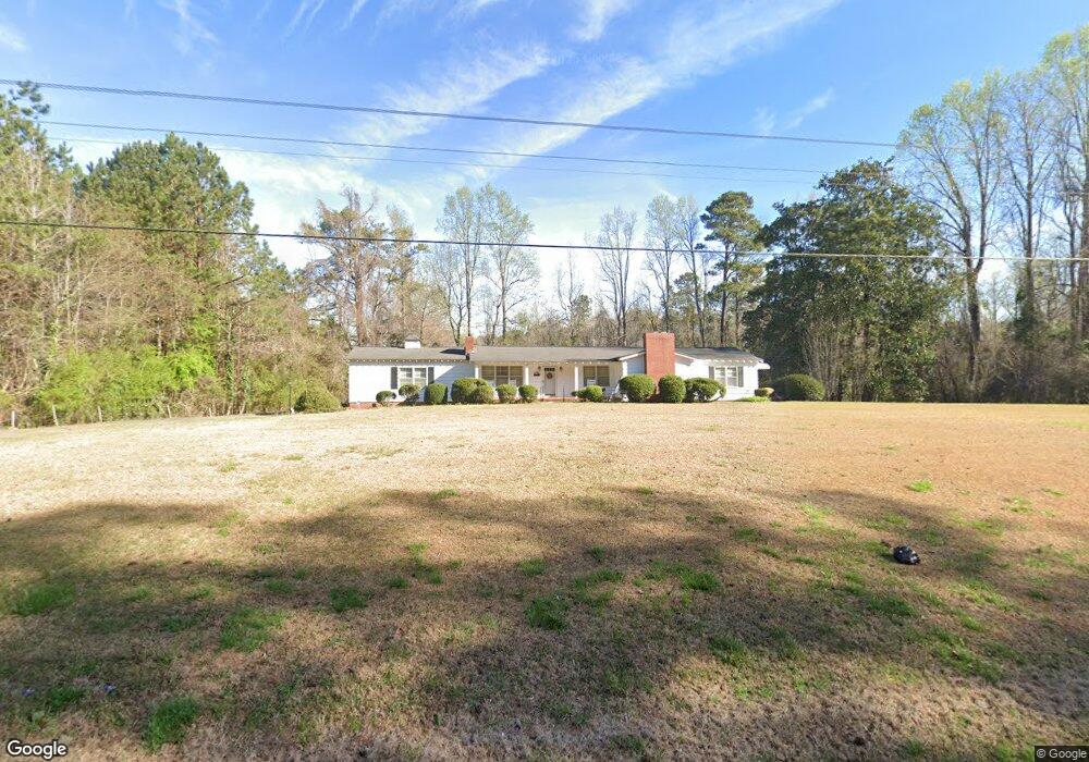
2876 Roanoke Rd Lagrange, GA 30240
Estimated Value: $196,000 - $213,000
3
Beds
2
Baths
1,578
Sq Ft
$129/Sq Ft
Est. Value
About This Home
This home is located at 2876 Roanoke Rd, Lagrange, GA 30240 and is currently estimated at $203,303, approximately $128 per square foot. 2876 Roanoke Rd is a home located in Troup County with nearby schools including Ethel W. Kight Elementary School, Hollis Hand Elementary School, and Franklin Forest Elementary School.
Ownership History
Date
Name
Owned For
Owner Type
Purchase Details
Closed on
Oct 27, 2023
Sold by
Whitley Marion Jeanette
Bought by
Anglin Billy
Current Estimated Value
Purchase Details
Closed on
Jul 29, 2008
Sold by
Whitley Donnell Lanier
Bought by
Whitley Marion Jeanette
Purchase Details
Closed on
Oct 1, 1952
Sold by
Pike Arnold W
Bought by
Donnell L Whitley
Create a Home Valuation Report for This Property
The Home Valuation Report is an in-depth analysis detailing your home's value as well as a comparison with similar homes in the area
Purchase History
| Date | Buyer | Sale Price | Title Company |
|---|---|---|---|
| Anglin Billy | $10,000 | -- | |
| Whitley Marion Jeanette | -- | -- | |
| Whitley Marion Jeanette | -- | -- | |
| Donnell L Whitley | -- | -- |
Source: Public Records
Tax History Compared to Growth
Tax History
| Year | Tax Paid | Tax Assessment Tax Assessment Total Assessment is a certain percentage of the fair market value that is determined by local assessors to be the total taxable value of land and additions on the property. | Land | Improvement |
|---|---|---|---|---|
| 2025 | $481 | $59,924 | $4,960 | $54,964 |
| 2024 | $481 | $46,684 | $4,960 | $41,724 |
| 2023 | $139 | $41,684 | $4,960 | $36,724 |
| 2022 | $317 | $39,924 | $4,960 | $34,964 |
| 2021 | $292 | $35,700 | $3,560 | $32,140 |
| 2020 | $664 | $31,980 | $3,560 | $28,420 |
| 2019 | $684 | $32,660 | $3,560 | $29,100 |
| 2018 | $606 | $30,044 | $3,560 | $26,484 |
| 2017 | $606 | $30,044 | $3,560 | $26,484 |
| 2016 | $568 | $28,773 | $3,568 | $25,205 |
| 2015 | $568 | $28,773 | $3,568 | $25,205 |
| 2014 | $528 | $27,446 | $3,568 | $23,878 |
| 2013 | -- | $28,585 | $3,568 | $25,017 |
Source: Public Records
Map
Nearby Homes
- 146 Whitaker Rd
- 336 Whitaker Rd
- 117 Brookwood Dr
- 509 Connie Dr
- 223 Pinehaven Dr
- 610 Ginger Cir
- 200 Cheyenne Dr
- 104 Spring Valley Dr
- LOT 4 Angela Dr
- E Angela Dr
- 190 Hill Rd
- 229 W Lakeview Dr
- 203 Shawnee Dr
- 124 Foxdale Dr
- 641 Whitaker Rd
- 104 Bridlewood Dr
- 0 Bradfield Dr Unit 10568803
- 114 Westgate Dr
- 208 Highland Trail
- 808 S Fling Rd
- 2867 Roanoke Rd
- 2832 Roanoke Rd
- 2907 Roanoke Rd
- 31 Pike Rd
- 2783 Roanoke Rd
- 2815 Roanoke Rd
- 0 Roanoke Rd Unit 8.246 Ac 8434764
- 0 Roanoke Rd Unit 7229490
- 0 Roanoke Rd Unit 3131621
- 0 Roanoke Rd Unit 7082581
- 0 Roanoke Rd Unit LT 12 7124367
- 0 Roanoke Rd Unit 8075991
- 0 Roanoke Rd Unit 7587283
- 0 Roanoke Rd Unit 8110348
- 0 Roanoke Rd Unit 2.008+/- Ac 8170512
- 0 Roanoke Rd
- 0 Roanoke Rd Unit 20151209
- 0 Roanoke Rd Unit 10124922
- 0 Roanoke Rd Unit 10122874
- 0 Roanoke Rd Unit 52603334