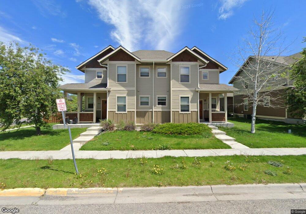
288 Kimball Ave Unit B Bozeman, MT 59718
Valley West NeighborhoodEstimated Value: $596,000 - $656,000
4
Beds
4
Baths
2,264
Sq Ft
$276/Sq Ft
Est. Value
About This Home
This home is located at 288 Kimball Ave Unit B, Bozeman, MT 59718 and is currently estimated at $623,761, approximately $275 per square foot. 288 Kimball Ave Unit B is a home located in Gallatin County with nearby schools including Meadowlark Elementary School, Chief Joseph Middle School, and Gallatin High School.
Ownership History
Date
Name
Owned For
Owner Type
Purchase Details
Closed on
Aug 12, 2005
Sold by
Kielley Steve and Kielley Steven P
Bought by
Cummings Pard L
Current Estimated Value
Home Financials for this Owner
Home Financials are based on the most recent Mortgage that was taken out on this home.
Original Mortgage
$199,920
Outstanding Balance
$104,683
Interest Rate
5.61%
Mortgage Type
Purchase Money Mortgage
Estimated Equity
$519,078
Create a Home Valuation Report for This Property
The Home Valuation Report is an in-depth analysis detailing your home's value as well as a comparison with similar homes in the area
Home Values in the Area
Average Home Value in this Area
Purchase History
| Date | Buyer | Sale Price | Title Company |
|---|---|---|---|
| Cummings Pard L | -- | American Land Title Company |
Source: Public Records
Mortgage History
| Date | Status | Borrower | Loan Amount |
|---|---|---|---|
| Open | Cummings Pard L | $199,920 |
Source: Public Records
Tax History Compared to Growth
Tax History
| Year | Tax Paid | Tax Assessment Tax Assessment Total Assessment is a certain percentage of the fair market value that is determined by local assessors to be the total taxable value of land and additions on the property. | Land | Improvement |
|---|---|---|---|---|
| 2025 | $2,759 | $617,400 | $0 | $0 |
| 2024 | $4,274 | $642,100 | $0 | $0 |
| 2023 | $4,135 | $690,000 | $0 | $0 |
| 2022 | $2,955 | $385,400 | $0 | $0 |
| 2021 | $3,261 | $385,400 | $0 | $0 |
| 2020 | $2,897 | $338,900 | $0 | $0 |
| 2019 | $2,963 | $338,900 | $0 | $0 |
| 2018 | $2,667 | $282,600 | $0 | $0 |
| 2017 | $2,493 | $282,600 | $0 | $0 |
| 2016 | $2,449 | $259,300 | $0 | $0 |
| 2015 | $2,451 | $259,300 | $0 | $0 |
| 2014 | $2,348 | $146,227 | $0 | $0 |
Source: Public Records
Map
Nearby Homes
- 4490 Cascade St
- 4271 Cover St
- 4276 Cascade St Unit D
- 228 N Hanley Unit A
- 336 N Hanley Ave
- 4239 W Babcock St Unit 7
- 4277 W Babcock St Unit 6
- 205 Teton Ave
- 4442 Alexander St
- 4468 Alexander St
- 404 Flathead Ave
- 11 N Yellowstone Ave
- 268 Pine Creek Dr
- 4619 Cascade St
- 3801 Spruce Meadows Dr
- 102 E Granite Ave
- 234 Stillwater Creek Dr
- 104 S Yellowstone Ave Unit 1
- 4418 Durston Rd Unit A
- TBD (Lot 5) N Cottonwood Rd
- 288 Kimball Ave Unit A
- 288A Kimball
- 262 Kimball Ave Unit B
- 262 Kimball Ave Unit A
- 275 Kimball A Ave
- 246 Kimball Ave
- 246 Kimball Ave Unit 11-A
- 246 Kimball Ave Unit A
- 285 N Ferguson Ave
- 285 N Ferguson Ave
- 285 N Ferguson Ave Unit 1
- 285 N Ferguson Ave Unit 2
- 275 Kimball Ave
- 275 Kimball Ave
- 275 Kimball Ave Unit A
- 275 Kimball Ave Unit B
- 291 Kimball Ave
- 291 Kimball Ave
- 291 Kimball Ave Unit A
- 275 N Ferguson Ave