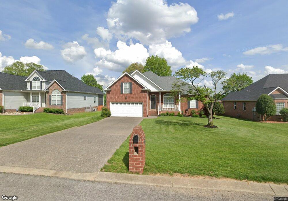
288 Remington Ave Gallatin, TN 37066
Estimated Value: $385,081 - $433,000
--
Bed
3
Baths
1,700
Sq Ft
$243/Sq Ft
Est. Value
About This Home
This home is located at 288 Remington Ave, Gallatin, TN 37066 and is currently estimated at $413,770, approximately $243 per square foot. 288 Remington Ave is a home located in Sumner County with nearby schools including Howard Elementary School, Rucker Stewart Middle School, and Station Camp High School.
Ownership History
Date
Name
Owned For
Owner Type
Purchase Details
Closed on
Oct 25, 2006
Sold by
Goodall Inc Builders
Bought by
Pilkington Peggy L
Current Estimated Value
Home Financials for this Owner
Home Financials are based on the most recent Mortgage that was taken out on this home.
Original Mortgage
$14,380
Interest Rate
6.27%
Mortgage Type
Unknown
Create a Home Valuation Report for This Property
The Home Valuation Report is an in-depth analysis detailing your home's value as well as a comparison with similar homes in the area
Home Values in the Area
Average Home Value in this Area
Purchase History
| Date | Buyer | Sale Price | Title Company |
|---|---|---|---|
| Pilkington Peggy L | $196,900 | None Available |
Source: Public Records
Mortgage History
| Date | Status | Borrower | Loan Amount |
|---|---|---|---|
| Closed | Pilkington Peggy L | $14,380 | |
| Open | Pilkington Peggy L | $157,520 |
Source: Public Records
Tax History Compared to Growth
Tax History
| Year | Tax Paid | Tax Assessment Tax Assessment Total Assessment is a certain percentage of the fair market value that is determined by local assessors to be the total taxable value of land and additions on the property. | Land | Improvement |
|---|---|---|---|---|
| 2024 | $1,427 | $100,450 | $21,250 | $79,200 |
| 2023 | $1,911 | $62,600 | $16,250 | $46,350 |
| 2022 | $1,416 | $62,600 | $16,250 | $46,350 |
| 2021 | $1,917 | $62,600 | $16,250 | $46,350 |
| 2020 | $1,917 | $62,600 | $16,250 | $46,350 |
| 2019 | $1,917 | $0 | $0 | $0 |
| 2018 | $1,552 | $0 | $0 | $0 |
| 2017 | $1,552 | $0 | $0 | $0 |
| 2016 | $1,112 | $0 | $0 | $0 |
| 2015 | $1,552 | $0 | $0 | $0 |
| 2014 | $1,457 | $0 | $0 | $0 |
Source: Public Records
Map
Nearby Homes
- 300 Remington Ave
- 305 Remington Ave
- 1328 Wentworth Dr
- 1245 Amherst Ct
- 1273 Wentworth Dr
- 1239 Wentworth Dr
- 1017 Laurelwood Dr
- 540 Bradford Dr
- 130 Saxony Way
- 1017 Wickshire Dr
- 420 Dorchester Place
- 294 Buckingham Blvd
- 1036 Middleton Ln
- 415 Buckingham Blvd
- 376 Huntington Dr
- 608 Bradford Dr
- 156 Hackney Ln
- 139 Buckingham Blvd
- 1182 Long Hollow Pike Unit G3
- 414 Stratford Park Blvd
- 284 Remington Ave
- 292 Remington Ave
- 1310 Mulberry Ct
- 1310 Mulberry
- 280 Remington Ave
- 1311 Monroe Ct
- 287 Remington Ave
- 291 Remington Ave
- 276 Remington Ave
- 1306 Mulberry Ct
- 283 Remington Ave
- 295 Remington Ave
- 1307 Monroe Ct
- 1309 Mulberry Ct
- 279 Remington Ave
- 299 Remington Ave
- 1302 Mulberry Ct
- 310 Remington Ave
- 1303 Monroe Ct
- 1303 Mulberry Ct