288 W Stafford Rd Thousand Oaks, CA 91361
Estimated Value: $7,383,000 - $7,900,000
5
Beds
7
Baths
7,658
Sq Ft
$1,007/Sq Ft
Est. Value
About This Home
This home is located at 288 W Stafford Rd, Thousand Oaks, CA 91361 and is currently estimated at $7,708,559, approximately $1,006 per square foot. 288 W Stafford Rd is a home located in Ventura County with nearby schools including Westlake Elementary School, Colina Middle School, and Westlake High School.
Ownership History
Date
Name
Owned For
Owner Type
Purchase Details
Closed on
May 31, 2007
Sold by
Mcmahan Mark
Bought by
Mcmahan Mark
Current Estimated Value
Purchase Details
Closed on
Mar 15, 2002
Sold by
Sherwood Development Company Lp
Bought by
Mcmahan Mark and Mcmahan Joy
Home Financials for this Owner
Home Financials are based on the most recent Mortgage that was taken out on this home.
Original Mortgage
$1,100,000
Interest Rate
5.87%
Create a Home Valuation Report for This Property
The Home Valuation Report is an in-depth analysis detailing your home's value as well as a comparison with similar homes in the area
Home Values in the Area
Average Home Value in this Area
Purchase History
| Date | Buyer | Sale Price | Title Company |
|---|---|---|---|
| Mcmahan Mark | -- | None Available | |
| Mcmahan Mark | -- | Chicago Title |
Source: Public Records
Mortgage History
| Date | Status | Borrower | Loan Amount |
|---|---|---|---|
| Previous Owner | Mcmahan Mark | $1,100,000 |
Source: Public Records
Tax History Compared to Growth
Tax History
| Year | Tax Paid | Tax Assessment Tax Assessment Total Assessment is a certain percentage of the fair market value that is determined by local assessors to be the total taxable value of land and additions on the property. | Land | Improvement |
|---|---|---|---|---|
| 2025 | $59,297 | $5,626,791 | $3,910,517 | $1,716,274 |
| 2024 | $59,297 | $5,516,462 | $3,833,840 | $1,682,622 |
| 2023 | $57,754 | $5,408,297 | $3,758,667 | $1,649,630 |
| 2022 | $56,641 | $5,302,252 | $3,684,967 | $1,617,285 |
| 2021 | $55,601 | $5,198,287 | $3,612,713 | $1,585,574 |
| 2020 | $54,777 | $5,144,987 | $3,575,670 | $1,569,317 |
| 2019 | $53,243 | $5,044,106 | $3,505,559 | $1,538,547 |
| 2018 | $52,134 | $4,945,203 | $3,436,823 | $1,508,380 |
| 2017 | $51,085 | $4,848,239 | $3,369,435 | $1,478,804 |
| 2016 | $50,586 | $4,753,176 | $3,303,368 | $1,449,808 |
| 2015 | $48,927 | $4,610,000 | $3,205,000 | $1,405,000 |
| 2014 | $45,109 | $4,226,000 | $2,938,000 | $1,288,000 |
Source: Public Records
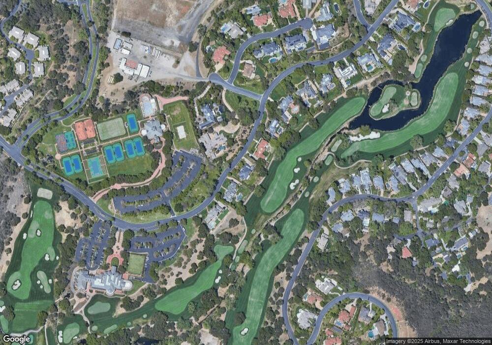
Map
Nearby Homes
- 2443 Stafford Rd
- 240 W Stafford Rd
- 2259 Melford Ct
- 2160 Marshbrook Rd
- 2431 Swanfield Ct
- 2479 Swanfield Ct
- 2308 Stafford Rd
- 500 Lower Lake Rd
- 118 Giles Rd
- 112 Hampstead Ct
- 900 W Stafford Rd
- 925 W Stafford Rd
- 314 Upper Lake Rd
- 981 W Stafford Rd
- 508 W Stafford Rd
- 949 W Stafford Rd
- 939 W Stafford Rd
- 959 W Stafford Rd
- 296 W Stafford Rd
- 280 W Stafford Rd
- 2222 Norfield Ct
- 272 W Stafford Rd
- 304 W Stafford Rd
- 2254 Norfield Ct
- 2445 Stafford Rd
- 2441 Stafford Rd
- 2286 Melford Ct
- 256 W Stafford Rd
- 2447 Stafford Rd
- 2435 Stafford Rd
- 2500 Stafford Rd
- 248 W Stafford Rd
- 2429 Stafford Rd
- 2430 Stafford Rd
- 2291 Melford Ct
- 2260 Melford Ct
- 2425 Stafford Rd
- 177 Queens Garden Dr