2881 Bedow Rd Fort Ripley, MN 56449
Estimated Value: $342,000 - $448,000
3
Beds
2
Baths
1,322
Sq Ft
$304/Sq Ft
Est. Value
About This Home
This home is located at 2881 Bedow Rd, Fort Ripley, MN 56449 and is currently estimated at $401,549, approximately $303 per square foot. 2881 Bedow Rd is a home located in Crow Wing County with nearby schools including Riverside Elementary School, Forestview Middle School, and Brainerd Senior High School.
Ownership History
Date
Name
Owned For
Owner Type
Purchase Details
Closed on
Nov 1, 2011
Sold by
Lavalle Julie and Lavalle Dennis
Bought by
Goebel John and Goebel Megan
Current Estimated Value
Purchase Details
Closed on
Oct 1, 2005
Sold by
Hayes Freeman J and Hayes Donna M
Bought by
Lavalle Julie and Lavalle Dennis
Purchase Details
Closed on
Mar 1, 2005
Bought by
Hayes Freeman J and Hayes Donna M
Create a Home Valuation Report for This Property
The Home Valuation Report is an in-depth analysis detailing your home's value as well as a comparison with similar homes in the area
Home Values in the Area
Average Home Value in this Area
Purchase History
| Date | Buyer | Sale Price | Title Company |
|---|---|---|---|
| Goebel John | $173,500 | -- | |
| Lavalle Julie | $174,900 | -- | |
| Hayes Freeman J | $28,000 | -- |
Source: Public Records
Tax History Compared to Growth
Tax History
| Year | Tax Paid | Tax Assessment Tax Assessment Total Assessment is a certain percentage of the fair market value that is determined by local assessors to be the total taxable value of land and additions on the property. | Land | Improvement |
|---|---|---|---|---|
| 2025 | $2,290 | $402,400 | $74,500 | $327,900 |
| 2024 | $2,290 | $363,000 | $66,500 | $296,500 |
| 2023 | $2,210 | $373,100 | $57,400 | $315,700 |
| 2022 | $2,262 | $338,500 | $41,700 | $296,800 |
| 2021 | $2,358 | $272,100 | $42,700 | $229,400 |
| 2020 | $2,124 | $271,000 | $40,600 | $230,400 |
| 2019 | $2,066 | $251,600 | $38,800 | $212,800 |
| 2018 | $1,452 | $242,600 | $38,800 | $203,800 |
| 2017 | $1,306 | $179,343 | $34,208 | $145,135 |
| 2016 | $1,392 | $155,500 | $29,300 | $126,200 |
| 2015 | $1,364 | $147,500 | $29,000 | $118,500 |
| 2014 | $638 | $140,000 | $28,700 | $111,300 |
Source: Public Records
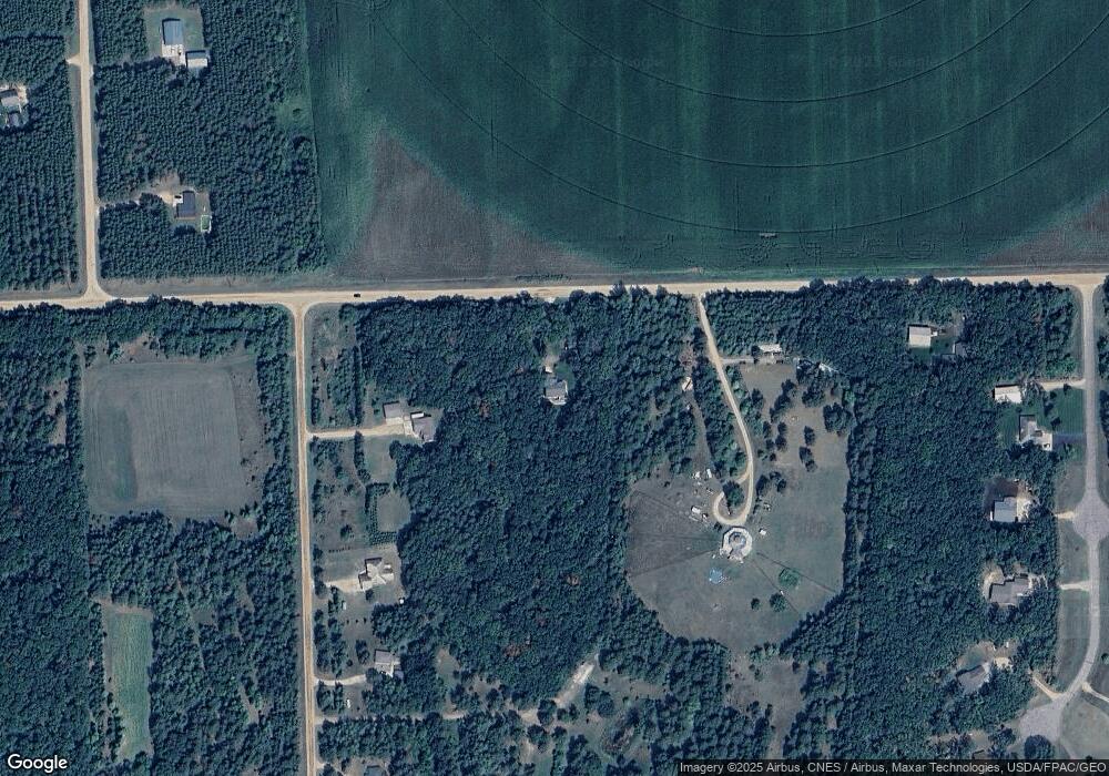
Map
Nearby Homes
- 2761 Mississippi Shores Rd
- 5471 Crow Wing Lake Rd
- 15576 263rd St
- TBD 263rd St
- 8624- 50th Ave SW
- 25988 185th Ave
- xxx Birch Curve Rd
- XXX Mallard Dr
- xxx Cardinal Trail
- 27331 Honey Hill Rd
- TBD 4.38 Acres 13th Ave SW
- TBD Powderhorn Dr
- xxx Lake Camile Lost Lake
- 13946 Hardy Lake Rd SW
- TBD State Highway 371
- 13869 Hardy Lake Rd SW
- XXX Norway Trail
- XXX Lake Camille Dr
- TBD Timber Ridge Dr
- 6887 Jennifer Cir
- 2962 Mississippi Shores Rd
- 2857 Bedow Rd
- 2922 Smoochey Chew Trail
- 2920 Mississippi Shores Rd
- 2882 Mississippi Shores Rd
- 2894 Mississippi Shores Rd
- L8 B1 Mississippi Shores
- L9 B1 Bedow Rd
- Lot 1 Blk 1 Twin Ponds
- 2870 Mississippi Shores Rd
- Lot 3 Bloc Twin Ponds Trail
- Lot 3 Bloc Twin Pond Trail
- Lot 3 Block Twin Ponds Trail
- Lot 3 Blk 1 Twin Ponds Trail
- Lt 3 Blck 1 Twin Ponds
- L1 B1 Twin Ponds Trail
- Lot 1 Bloc Twin Ponds Trail
- Lot 1 Block Twin Ponds Trail
- Lot1, Blk Twin Ponds S
- Lot 1 Blk 1 Twin Ponds S