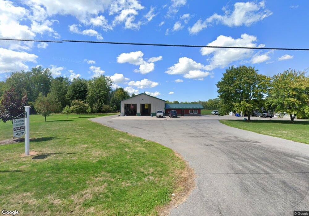
2882 Drum Rd Middleport, NY 14105
Estimated Value: $225,000 - $385,040
2
Beds
1
Bath
1,952
Sq Ft
$153/Sq Ft
Est. Value
About This Home
This home is located at 2882 Drum Rd, Middleport, NY 14105 and is currently estimated at $299,260, approximately $153 per square foot. 2882 Drum Rd is a home located in Niagara County with nearby schools including Pratt Elementary School and Barker Junior/Senior High School.
Ownership History
Date
Name
Owned For
Owner Type
Purchase Details
Closed on
Sep 4, 2020
Sold by
Bates Mary Lou and Bates William E
Bought by
Hurtgam Chad E and Hurtgam Catherine A
Current Estimated Value
Purchase Details
Closed on
Apr 28, 2010
Sold by
Hurtgam Chad E
Bought by
Hurtgam Chad E and Hurtgam Catherine A
Home Financials for this Owner
Home Financials are based on the most recent Mortgage that was taken out on this home.
Original Mortgage
$134,000
Interest Rate
4.38%
Mortgage Type
New Conventional
Purchase Details
Closed on
Jul 21, 2003
Sold by
Kickbush Perry
Bought by
Bucolo Terri
Purchase Details
Closed on
Aug 21, 2002
Sold by
Baty Norman B
Bought by
Hurtgam Chad E
Purchase Details
Closed on
Feb 10, 2000
Sold by
Banty Kickbush
Bought by
Banty Norma and Banty Kickbush
Purchase Details
Closed on
Apr 14, 1998
Create a Home Valuation Report for This Property
The Home Valuation Report is an in-depth analysis detailing your home's value as well as a comparison with similar homes in the area
Home Values in the Area
Average Home Value in this Area
Purchase History
| Date | Buyer | Sale Price | Title Company |
|---|---|---|---|
| Hurtgam Chad E | $180,000 | None Available | |
| Hurtgam Chad E | -- | None Available | |
| Bucolo Terri | -- | Elizabeth M Dipirro | |
| Hurtgam Chad E | $75,000 | David Douglas | |
| Banty Norma | -- | -- | |
| -- | $100 | -- |
Source: Public Records
Mortgage History
| Date | Status | Borrower | Loan Amount |
|---|---|---|---|
| Previous Owner | Hurtgam Chad E | $134,000 |
Source: Public Records
Tax History Compared to Growth
Tax History
| Year | Tax Paid | Tax Assessment Tax Assessment Total Assessment is a certain percentage of the fair market value that is determined by local assessors to be the total taxable value of land and additions on the property. | Land | Improvement |
|---|---|---|---|---|
| 2024 | $5,987 | $179,500 | $26,400 | $153,100 |
| 2023 | $5,987 | $179,500 | $26,400 | $153,100 |
| 2022 | $5,739 | $179,500 | $26,400 | $153,100 |
| 2021 | $5,722 | $179,500 | $26,400 | $153,100 |
| 2020 | $5,589 | $179,500 | $26,400 | $153,100 |
| 2019 | $5,107 | $169,500 | $26,400 | $143,100 |
| 2018 | $5,217 | $169,500 | $26,400 | $143,100 |
| 2017 | $5,107 | $169,500 | $26,400 | $143,100 |
| 2016 | $4,625 | $159,900 | $26,400 | $133,500 |
| 2015 | -- | $159,900 | $26,400 | $133,500 |
| 2014 | -- | $159,900 | $26,400 | $133,500 |
Source: Public Records
Map
Nearby Homes
- 3102 Johnson Creek Rd
- 9718 Pearson Rd
- 2643 County Line Rd
- 00 Ridge Rd
- 3835 Chase Rd
- 3845 N Hartland St
- 2853 Hartland Rd
- 38 N Hartland St
- 38 N Main St
- 23 S Vernon St
- 2969 Murdock Rd
- 9753 Watson Ave
- 2979 Murdock Rd
- 37 State St
- 0 State St Unit B1581360
- 3571 Fruit Ave
- 25 Vernon St
- 8028 Ridge Rd
- 0 Murdock Rd
- 10174 Telegraph Rd