Estimated Value: $608,000 - $780,945
4
Beds
4
Baths
3,740
Sq Ft
$186/Sq Ft
Est. Value
About This Home
This home is located at 2883 Hastings East Rd, Lucas, OH 44843 and is currently estimated at $694,473, approximately $185 per square foot. 2883 Hastings East Rd is a home located in Richland County with nearby schools including Lucas Elementary School, Lucas Heritage Middle School, and Lucas High School.
Ownership History
Date
Name
Owned For
Owner Type
Purchase Details
Closed on
May 31, 2024
Sold by
Smith Daniel F and Smith Leona
Bought by
Pennell Charles Robert and Pennell Marilyn Ruth
Current Estimated Value
Purchase Details
Closed on
Nov 16, 2018
Sold by
Smith Daniel F and Smith Leona
Bought by
Smith Daniel F and Smith Leona
Create a Home Valuation Report for This Property
The Home Valuation Report is an in-depth analysis detailing your home's value as well as a comparison with similar homes in the area
Home Values in the Area
Average Home Value in this Area
Purchase History
| Date | Buyer | Sale Price | Title Company |
|---|---|---|---|
| Pennell Charles Robert | $1,100,000 | None Listed On Document | |
| Smith Daniel F | -- | None Available |
Source: Public Records
Tax History Compared to Growth
Tax History
| Year | Tax Paid | Tax Assessment Tax Assessment Total Assessment is a certain percentage of the fair market value that is determined by local assessors to be the total taxable value of land and additions on the property. | Land | Improvement |
|---|---|---|---|---|
| 2024 | $8,486 | $201,650 | $32,320 | $169,330 |
| 2023 | $8,486 | $201,650 | $32,320 | $169,330 |
| 2022 | $7,110 | $151,060 | $20,520 | $130,540 |
| 2021 | $7,125 | $151,060 | $20,520 | $130,540 |
| 2020 | $7,240 | $151,060 | $20,520 | $130,540 |
| 2019 | $6,567 | $128,770 | $17,380 | $111,390 |
| 2018 | $6,759 | $128,770 | $17,380 | $111,390 |
| 2017 | $29 | $128,770 | $17,380 | $111,390 |
| 2016 | $6,775 | $129,750 | $13,290 | $116,460 |
| 2015 | $5 | $129,750 | $13,290 | $116,460 |
| 2014 | $6,807 | $129,750 | $13,290 | $116,460 |
| 2012 | $1,221 | $129,750 | $13,290 | $116,460 |
Source: Public Records
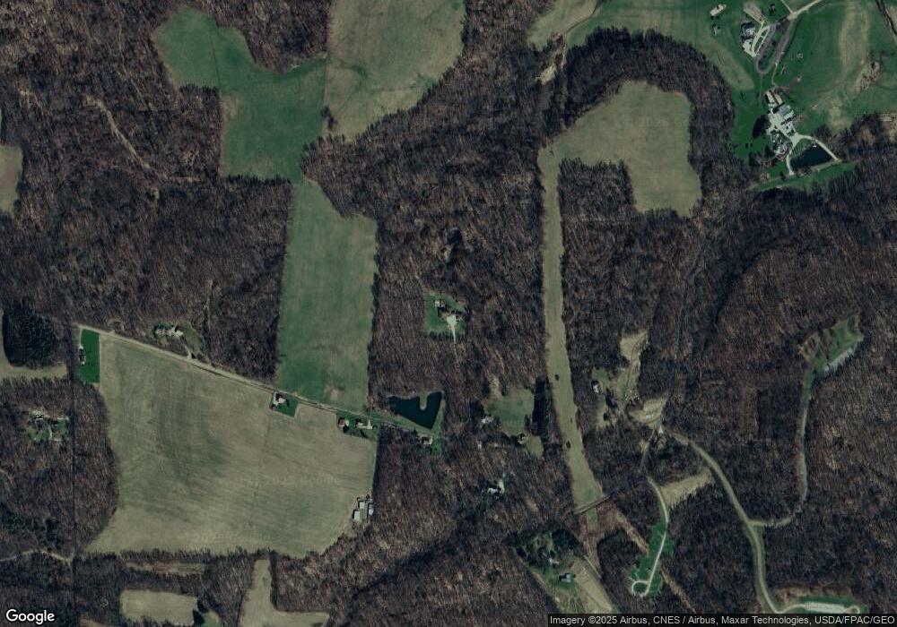
Map
Nearby Homes
- 4978 Bott Rd
- 3261 Moffett Rd
- 2221 Pleasant Valley Rd
- 0 Tucker Rd
- 2905 Tucker Rd
- 5449 Hagerman Rd
- 3386 Trumpower Rd
- 68.40 Acres Trumpower Rd
- 0 Trumpower Rd
- 0 Moffett Rd
- 0 Kenton Rd
- 1563 State Route 97 E
- 2428 Applegate Rd
- 224 Blue Bird Dr
- 27 E Main St
- 174 W Main St
- 3898 Ohio 97
- 4 W Elm St
- 1260 Ohio 97 Unit 115
- 1260 Ohio 97
- 2941 Hastings Rd E
- 2941 Hastings East Rd
- 2941 Hastings East Rd
- 2941 Hastings East Rd
- 2941 Hastings East Rd
- 2904 Hastings East Rd
- 2860 Hastings East Rd
- 2904 Hastings Rd E
- 2962 Hastings East Rd
- 4250 Bromfield Rd
- 2804 Hastings East Rd
- 3016 Hastings East Rd
- 2719 Hastings East Rd
- 2686 Hastings East Rd
- 4293 Swigart Rd
- 4331 Swigart Rd
- 4281 Swigart Rd
- 4335 Swigart Rd
- 0 Hastings East Rd
- 4155 Swigart Rd