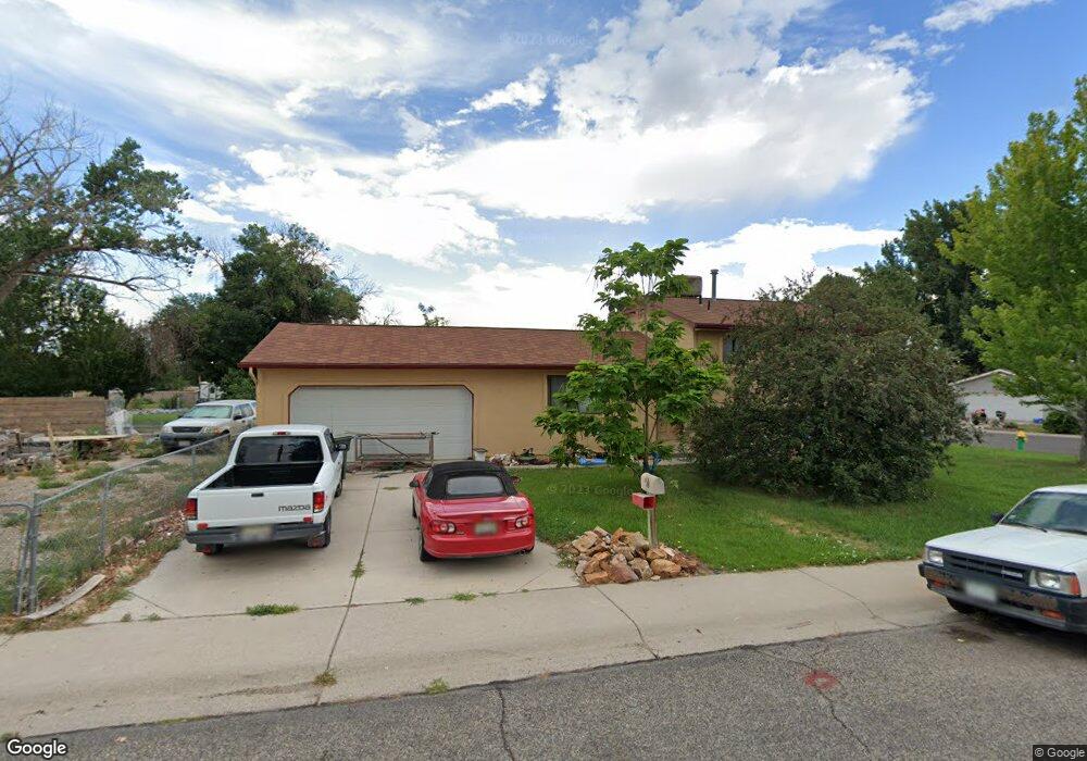
2885 Jean Ln Grand Junction, CO 81506
Northeast Grand Junction NeighborhoodEstimated Value: $363,510 - $402,000
3
Beds
2
Baths
1,600
Sq Ft
$239/Sq Ft
Est. Value
About This Home
This home is located at 2885 Jean Ln, Grand Junction, CO 81506 and is currently estimated at $382,128, approximately $238 per square foot. 2885 Jean Ln is a home located in Mesa County with nearby schools including Nisley Elementary School, Bookcliff Middle School, and Central High School.
Ownership History
Date
Name
Owned For
Owner Type
Purchase Details
Closed on
May 31, 2007
Sold by
Kreiling Jamie B and Beard Jamie B
Bought by
Beard Jamie B
Current Estimated Value
Home Financials for this Owner
Home Financials are based on the most recent Mortgage that was taken out on this home.
Original Mortgage
$160,000
Outstanding Balance
$97,744
Interest Rate
6.16%
Mortgage Type
New Conventional
Estimated Equity
$284,384
Purchase Details
Closed on
Mar 19, 1999
Sold by
Trinklein Marvin D and Trinklein Ella L
Bought by
Krelling Kendall and Krelling Jamie
Home Financials for this Owner
Home Financials are based on the most recent Mortgage that was taken out on this home.
Original Mortgage
$100,400
Interest Rate
6.82%
Purchase Details
Closed on
Sep 28, 1998
Sold by
Pola Barbara B
Bought by
Trinklein Marvin D and Trinklein Ella L
Create a Home Valuation Report for This Property
The Home Valuation Report is an in-depth analysis detailing your home's value as well as a comparison with similar homes in the area
Home Values in the Area
Average Home Value in this Area
Purchase History
| Date | Buyer | Sale Price | Title Company |
|---|---|---|---|
| Beard Jamie B | -- | Abstract & Title Company Of | |
| Kreiling Jamie B | -- | Abstract & Title Company Of | |
| Krelling Kendall | $120,400 | -- | |
| Trinklein Marvin D | $84,500 | -- |
Source: Public Records
Mortgage History
| Date | Status | Borrower | Loan Amount |
|---|---|---|---|
| Open | Beard Jamie B | $160,000 | |
| Closed | Krelling Kendall | $100,400 |
Source: Public Records
Tax History Compared to Growth
Tax History
| Year | Tax Paid | Tax Assessment Tax Assessment Total Assessment is a certain percentage of the fair market value that is determined by local assessors to be the total taxable value of land and additions on the property. | Land | Improvement |
|---|---|---|---|---|
| 2024 | $1,301 | $17,340 | $4,700 | $12,640 |
| 2023 | $1,301 | $17,340 | $4,700 | $12,640 |
| 2022 | $1,123 | $14,540 | $4,170 | $10,370 |
| 2021 | $1,127 | $14,960 | $4,290 | $10,670 |
| 2020 | $1,044 | $14,100 | $3,930 | $10,170 |
| 2019 | $991 | $14,100 | $3,930 | $10,170 |
| 2018 | $909 | $11,710 | $3,240 | $8,470 |
| 2017 | $881 | $11,710 | $3,240 | $8,470 |
| 2016 | $816 | $12,120 | $3,180 | $8,940 |
| 2015 | $826 | $12,120 | $3,180 | $8,940 |
| 2014 | $695 | $10,150 | $2,790 | $7,360 |
Source: Public Records
Map
Nearby Homes
- 630 Sparn Ct
- 2876 Patterson Rd
- 2919 Brodick Way
- 2923 Bonito Ave
- 595 Teatro Ct
- 596 Sinatra Way
- 2916 Arabesque Dr
- 639 Mount Julian Dr
- 2982 Patterson Rd
- 581 W Indian Creek Dr Unit 2,4,5,6
- 670 Welig Ct
- 586 28 1 2 Rd
- 2948 Joan Way
- 2928 Amethyst Ct
- 667 Cloverglen Dr
- 2866 Presley Ave
- 571 Graff Meadows Dr
- 2940 Braxton Ct
- 569 Graff Dairy Ct
- 575 29 Rd