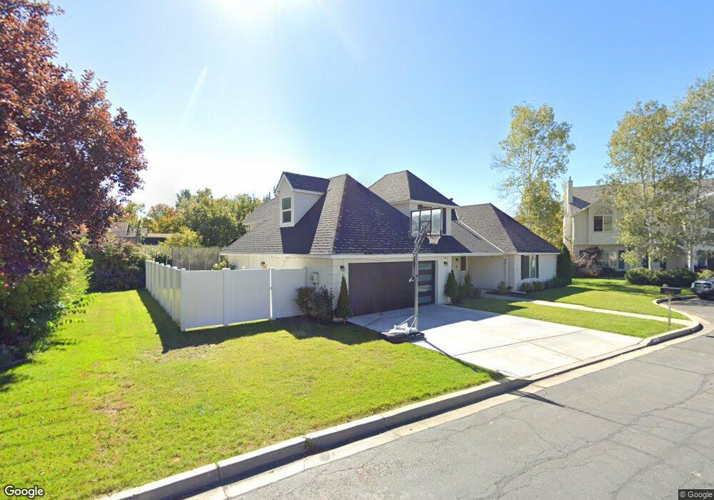
2885 Marrcrest North Cir Provo, UT 84604
Riverside NeighborhoodEstimated Value: $438,000 - $469,000
3
Beds
1
Bath
1,530
Sq Ft
$300/Sq Ft
Est. Value
About This Home
This home is located at 2885 Marrcrest North Cir, Provo, UT 84604 and is currently estimated at $458,609, approximately $299 per square foot. 2885 Marrcrest North Cir is a home with nearby schools including Canyon Crest Elementary School, Centennial Middle School, and Timpview High School.
Ownership History
Date
Name
Owned For
Owner Type
Purchase Details
Closed on
Aug 26, 2025
Sold by
Mcneil Todd Leon and Mcneil Janalyn D
Bought by
Mcneil Todd and Mcneil Shanna
Current Estimated Value
Home Financials for this Owner
Home Financials are based on the most recent Mortgage that was taken out on this home.
Original Mortgage
$115,000
Outstanding Balance
$115,000
Interest Rate
6.75%
Mortgage Type
New Conventional
Estimated Equity
$343,609
Purchase Details
Closed on
Sep 30, 2020
Sold by
Mcniel Todd L
Bought by
Mcneil Todd Leon
Purchase Details
Closed on
May 1, 2017
Sold by
Anderson Bill J
Bought by
Mcniel Todd L
Home Financials for this Owner
Home Financials are based on the most recent Mortgage that was taken out on this home.
Original Mortgage
$204,000
Interest Rate
4.1%
Mortgage Type
New Conventional
Purchase Details
Closed on
Sep 27, 2007
Sold by
Max John W and Max Donna F P
Bought by
Anderson Bill J
Purchase Details
Closed on
Aug 29, 2002
Sold by
Max John W and Max Donna F P
Bought by
Max John W and Max Donna F P
Create a Home Valuation Report for This Property
The Home Valuation Report is an in-depth analysis detailing your home's value as well as a comparison with similar homes in the area
Home Values in the Area
Average Home Value in this Area
Purchase History
| Date | Buyer | Sale Price | Title Company |
|---|---|---|---|
| Mcneil Todd | -- | Us Title | |
| Mcneil Todd Leon | -- | Fidelity Title | |
| Mcniel Todd L | -- | Fidelity Land & Title | |
| Anderson Bill J | -- | Action Title Company | |
| Max John W | -- | Action Title Company | |
| Max John W | -- | Action Title Company |
Source: Public Records
Mortgage History
| Date | Status | Borrower | Loan Amount |
|---|---|---|---|
| Open | Mcneil Todd | $115,000 | |
| Previous Owner | Mcniel Todd L | $204,000 |
Source: Public Records
Tax History
| Year | Tax Paid | Tax Assessment Tax Assessment Total Assessment is a certain percentage of the fair market value that is determined by local assessors to be the total taxable value of land and additions on the property. | Land | Improvement |
|---|---|---|---|---|
| 2025 | $2,422 | $242,165 | -- | -- |
| 2024 | $2,422 | $238,370 | $0 | $0 |
| 2023 | $2,366 | $229,625 | $0 | $0 |
| 2022 | $2,002 | $195,910 | $0 | $0 |
| 2021 | $1,593 | $271,900 | $112,600 | $159,300 |
| 2020 | $1,588 | $254,100 | $112,600 | $141,500 |
| 2019 | $1,502 | $249,900 | $112,600 | $137,300 |
| 2018 | $1,481 | $249,900 | $112,600 | $137,300 |
| 2017 | $1,401 | $129,910 | $0 | $0 |
| 2016 | $1,374 | $118,745 | $0 | $0 |
| 2015 | $1,316 | $114,950 | $0 | $0 |
| 2014 | $1,148 | $104,500 | $0 | $0 |
Source: Public Records
Map
Nearby Homes
- 2939 N Marrcrest Dr W
- 3013 N 100 W
- 2999 N Marrcrest West Dr
- 3057 N 100 W
- 2735 N Country Club Dr
- 3025 N 250 E
- 3240 Shadowbrook Dr
- 111 Candlewood Place
- 3305 N Shadowbrook Cir
- 2774 N 370 E
- 158 Woodside Dr
- 5600 N Canyon Rd
- 1360 S Carterville Rd
- 240 E 2230 N Unit 7
- 223 W 2230 N Unit 14
- 241 W 2230 N Unit 16
- 2254 N 390 E
- 758 E 3030 N
- 788 E 2680 N
- 186 E 2100 N
- 2887 Marrcrest North Cir
- 2895 Marrcrest North Cir
- 2852 Marrcrest W
- 2830 Marrcrest North Cir
- 2888 N Marrcrest W
- 2852 Marrcrest W
- 82 Marrcrest N
- 84 Marrcrest N
- 2873 Marrcrest North Cir
- 84 Marrcrest N
- 2858 Marrcrest W
- 2868 Marrcrest W
- 86 Marrcrest N
- 86 Marrcrest N
- 2846 Marrcrest W
- 96 Marrcrest N
- 2856 Marrcrest W
- 2856 Marrcrest E
- 2949 N 100 W
- 2887 Marrcrest W
Your Personal Tour Guide
Ask me questions while you tour the home.