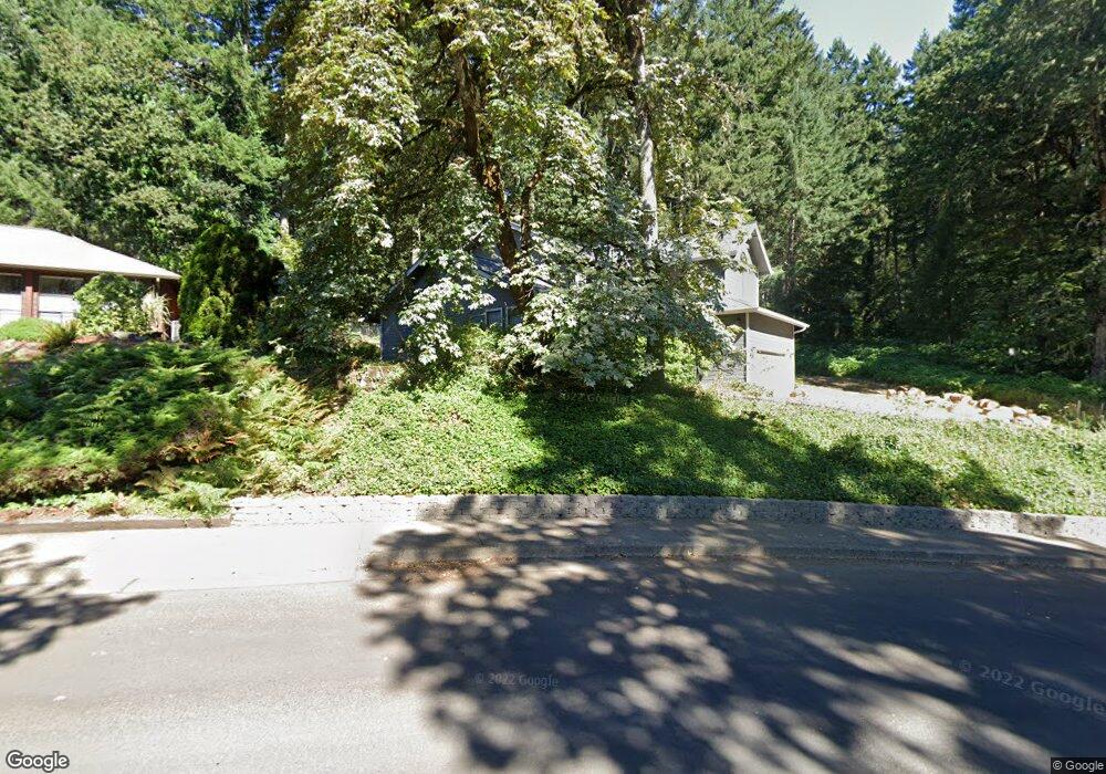
2885 NW Rolling Green Dr Corvallis, OR 97330
Northwest Corvallis NeighborhoodEstimated Value: $654,000 - $703,470
3
Beds
3
Baths
2,059
Sq Ft
$329/Sq Ft
Est. Value
About This Home
This home is located at 2885 NW Rolling Green Dr, Corvallis, OR 97330 and is currently estimated at $678,118, approximately $329 per square foot. 2885 NW Rolling Green Dr is a home located in Benton County with nearby schools including Letitia Carson Elementary School, Cheldelin Middle School, and Crescent Valley High School.
Ownership History
Date
Name
Owned For
Owner Type
Purchase Details
Closed on
May 1, 2025
Sold by
Jones Brian Blake and Jones Elizabeth
Bought by
Jones Living Trust and Jones
Current Estimated Value
Purchase Details
Closed on
Jul 13, 2009
Sold by
Knudson Martin John C and Knudson Martin Carmen R
Bought by
Jones Brian Blake and Jones Elizabeth
Home Financials for this Owner
Home Financials are based on the most recent Mortgage that was taken out on this home.
Original Mortgage
$272,000
Interest Rate
5.25%
Mortgage Type
Purchase Money Mortgage
Purchase Details
Closed on
Jun 27, 2005
Sold by
Ebner Douglas B and Ebner Jo Ellen
Bought by
Knudson Martin John C and Knudson Martin Carmen R
Home Financials for this Owner
Home Financials are based on the most recent Mortgage that was taken out on this home.
Original Mortgage
$79,000
Interest Rate
5.65%
Mortgage Type
Fannie Mae Freddie Mac
Create a Home Valuation Report for This Property
The Home Valuation Report is an in-depth analysis detailing your home's value as well as a comparison with similar homes in the area
Home Values in the Area
Average Home Value in this Area
Purchase History
| Date | Buyer | Sale Price | Title Company |
|---|---|---|---|
| Jones Living Trust | -- | None Listed On Document | |
| Jones Brian Blake | $340,000 | Amerititle | |
| Knudson Martin John C | $329,000 | First American Title |
Source: Public Records
Mortgage History
| Date | Status | Borrower | Loan Amount |
|---|---|---|---|
| Previous Owner | Jones Brian Blake | $272,000 | |
| Previous Owner | Knudson Martin John C | $79,000 |
Source: Public Records
Tax History Compared to Growth
Tax History
| Year | Tax Paid | Tax Assessment Tax Assessment Total Assessment is a certain percentage of the fair market value that is determined by local assessors to be the total taxable value of land and additions on the property. | Land | Improvement |
|---|---|---|---|---|
| 2024 | $7,783 | $405,155 | -- | -- |
| 2023 | $7,328 | $393,354 | $0 | $0 |
| 2022 | $7,114 | $381,897 | $0 | $0 |
| 2021 | $6,843 | $370,774 | $0 | $0 |
| 2020 | $6,841 | $359,975 | $0 | $0 |
| 2019 | $6,256 | $349,490 | $0 | $0 |
| 2018 | $6,339 | $339,311 | $0 | $0 |
| 2017 | $5,803 | $329,428 | $0 | $0 |
| 2016 | $5,541 | $319,833 | $0 | $0 |
| 2015 | $5,429 | $310,517 | $0 | $0 |
| 2014 | $5,288 | $301,473 | $0 | $0 |
| 2012 | -- | $284,167 | $0 | $0 |
Source: Public Records
Map
Nearby Homes
- 2024 NW Victory Ave
- 2034 NW Victory Ave
- 2044 NW Victory Ave
- 2054 NW Victory Ave
- Lot 2 - 3004 Place
- 2029 NW Century Dr
- 2039 NW Century Dr
- 2049 NW Century Dr
- 2059 NW Century Dr
- 3007 NW Angelica Dr
- 0 NW Lester Ave
- 1919 & Next To NW Buchanan Ave
- 1141 NW Charlemagne Place
- 1583 NW Forestgreen Ave
- 1524 NW Forestgreen Ave
- 2746 NW Huckleberry Dr
- 2754 NW Huckleberry Dr
- 2743 NW Huckleberry Dr
- 2751 NW Huckleberry Dr
- 2770 NW Huckleberry Dr
- 2879 NW Rolling Green Dr
- 2871 NW Rolling Green Dr
- 2880 NW Rolling Green Dr
- 2867 NW Rolling Green Dr
- 3043 NW Garryanna Dr
- 2855 NW Rolling Green Dr
- 3027 NW Garryanna Dr
- 2834 NW Rolling Green Dr
- 2849 NW Rolling Green Dr
- 3024 NW Garryanna Dr
- 2835 NW Rolling Green Dr
- 2812 NW Rolling Green Dr
- 3011 NW Garryanna Dr
- 2815 NW Rolling Green Dr
- 3016 NW Garryanna Dr
- 2782 NW Rolling Green Dr
- 2995 NW Garryanna Dr
- 3008 NW Garryanna Dr
- 2842 NW Larkspur Place
- 2777 NW Rolling Green Dr