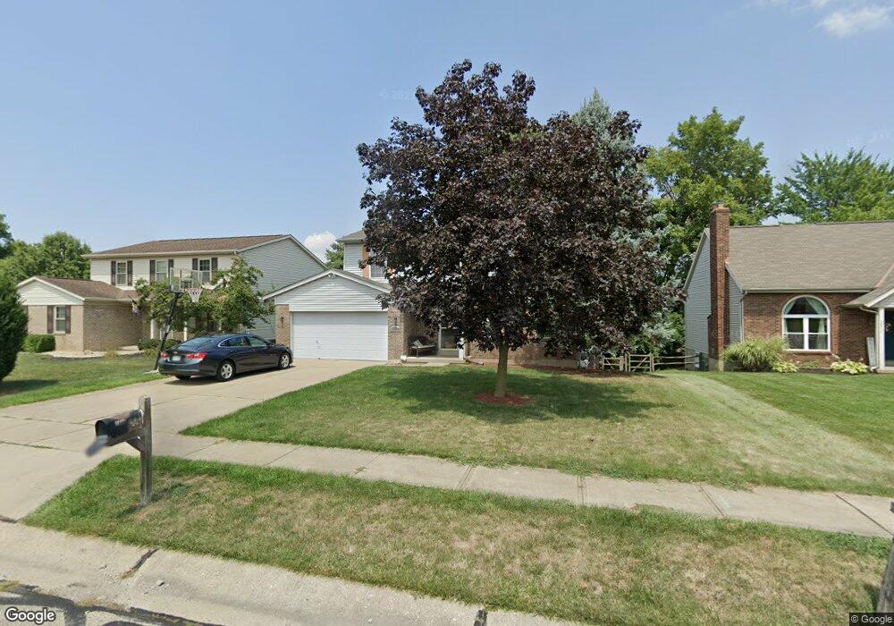
2886 Michaels Run Cincinnati, OH 45251
Estimated Value: $241,000 - $320,070
4
Beds
3
Baths
2,004
Sq Ft
$149/Sq Ft
Est. Value
About This Home
This home is located at 2886 Michaels Run, Cincinnati, OH 45251 and is currently estimated at $299,518, approximately $149 per square foot. 2886 Michaels Run is a home located in Hamilton County with nearby schools including Colerain Elementary School, Colerain Middle School, and Colerain High School.
Ownership History
Date
Name
Owned For
Owner Type
Purchase Details
Closed on
Mar 28, 2014
Sold by
Purdy Robert and Purdy Beani
Bought by
Purdy Robert
Current Estimated Value
Purchase Details
Closed on
Jul 2, 2001
Sold by
Bennett Denise M and Bennett Denise M
Bought by
Purdy Robert and Purdy Diana
Home Financials for this Owner
Home Financials are based on the most recent Mortgage that was taken out on this home.
Original Mortgage
$167,000
Outstanding Balance
$61,628
Interest Rate
7.2%
Mortgage Type
VA
Estimated Equity
$237,890
Purchase Details
Closed on
May 23, 1997
Sold by
Ritter Joseph G and Ritter Sheryl L
Bought by
Bennett Robert A and Bennett Denise M
Home Financials for this Owner
Home Financials are based on the most recent Mortgage that was taken out on this home.
Original Mortgage
$129,200
Interest Rate
8.13%
Create a Home Valuation Report for This Property
The Home Valuation Report is an in-depth analysis detailing your home's value as well as a comparison with similar homes in the area
Home Values in the Area
Average Home Value in this Area
Purchase History
| Date | Buyer | Sale Price | Title Company |
|---|---|---|---|
| Purdy Robert | -- | First American Title Ins Co | |
| Purdy Robert | $167,000 | -- | |
| Bennett Robert A | $136,000 | -- |
Source: Public Records
Mortgage History
| Date | Status | Borrower | Loan Amount |
|---|---|---|---|
| Open | Purdy Robert | $167,000 | |
| Closed | Bennett Robert A | $129,200 |
Source: Public Records
Tax History
| Year | Tax Paid | Tax Assessment Tax Assessment Total Assessment is a certain percentage of the fair market value that is determined by local assessors to be the total taxable value of land and additions on the property. | Land | Improvement |
|---|---|---|---|---|
| 2025 | $4,997 | $84,701 | $11,813 | $72,888 |
| 2024 | $4,757 | $84,701 | $11,813 | $72,888 |
| 2023 | $4,703 | $84,701 | $11,813 | $72,888 |
| 2022 | $4,733 | $69,752 | $10,252 | $59,500 |
| 2021 | $4,779 | $69,752 | $10,252 | $59,500 |
| 2020 | $4,722 | $69,752 | $10,252 | $59,500 |
| 2019 | $4,104 | $56,252 | $8,267 | $47,985 |
| 2018 | $3,692 | $56,252 | $8,267 | $47,985 |
| 2017 | $3,547 | $56,252 | $8,267 | $47,985 |
| 2016 | $3,551 | $54,989 | $8,229 | $46,760 |
| 2015 | $3,535 | $54,989 | $8,229 | $46,760 |
| 2014 | $3,546 | $54,989 | $8,229 | $46,760 |
| 2013 | $3,557 | $57,884 | $8,663 | $49,221 |
Source: Public Records
Map
Nearby Homes
- 2896 Regal Ln
- 2787 Rylan Dr
- 3069 Sovereign Dr
- 8628 Paisley Dr
- 8545 Noelle Dr
- Rockford Plan at North Ridge
- Dallas Plan at North Ridge
- 8417 Royal Heights Dr
- 8949 Pippin Rd
- 2655 Barthas Place
- 2714 Compton Rd
- 9103 Zoellner Rd
- 8265 Haskell Dr
- 2750 W Galbraith Rd
- 9161 Trelawney Ct
- 2807 W Galbraith Rd
- 8729 Morningstar Ln
- 2922 Royal Glen Dr
- 2983 Aries Ct
- 9224 Comstock Dr
- 2872 Michaels Run
- 2900 Michaels Run
- 2950 Michaels Run
- 8695 Beckys Ridge Dr
- 2858 Michaels Run
- 2966 Michaels Run
- 2883 Michaels Run
- 2897 Michaels Run
- 8703 Beckys Ridge Dr
- 2871 Michaels Run
- 2911 Michaels Run
- 2980 Michaels Run
- 2937 Michaels Run
- 2857 Michaels Run
- 2923 Michaels Run
- 8713 Beckys Ridge Dr
- 2949 Michaels Run
- 2919 Michaels Run
- 2965 Michaels Run
- 2915 Michaels Run
Your Personal Tour Guide
Ask me questions while you tour the home.