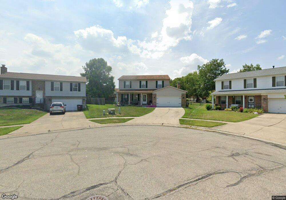
2915 Michaels Run Cincinnati, OH 45251
Groesbeck AreaEstimated Value: $324,000 - $341,764
About This Home
This home is located at 2915 Michaels Run, Cincinnati, OH 45251 and is currently estimated at $333,191, approximately $161 per square foot. 2915 Michaels Run is a home located in Hamilton County with nearby schools including Colerain Elementary School, Colerain Middle School, and Colerain High School.
Ownership History
We collect this data history from publicly available records. To have your information removed, we recommend requesting removal directly through your county’s website.
Purchase Details
Home Values in the Area
Average Home Value in this Area
Purchase History
We collect this data history from publicly available records. To have your information removed, we recommend requesting removal directly through your county’s website.
| Date | Buyer | Sale Price | Title Company |
|---|---|---|---|
| -- | L & D Title Agency Inc |
Mortgage History
We collect this data history from publicly available records. To have your information removed, we recommend requesting removal directly through your county’s website.
| Date | Status | Borrower | Loan Amount |
|---|---|---|---|
| Previous Owner | $189,999 | ||
| Previous Owner | $179,550 | ||
| Previous Owner | $27,000 | ||
| Previous Owner | $151,500 | ||
| Previous Owner | $30,000 | ||
| Previous Owner | $120,000 |
Tax History
We collect this data history from publicly available records. To have your information removed, we recommend requesting removal directly through your county’s website.
| Year | Tax Paid | Tax Assessment Tax Assessment Total Assessment is a certain percentage of the fair market value that is determined by local assessors to be the total taxable value of land and additions on the property. | Land | Improvement |
|---|---|---|---|---|
| 2025 | $5,485 | $95,277 | $13,370 | $81,907 |
| 2023 | $5,116 | $95,277 | $13,370 | $81,907 |
| 2022 | $4,941 | $75,065 | $11,589 | $63,476 |
| 2021 | $4,777 | $73,214 | $11,589 | $61,625 |
| 2020 | $4,828 | $73,214 | $11,589 | $61,625 |
| 2019 | $4,172 | $59,042 | $9,345 | $49,697 |
| 2018 | $3,742 | $59,042 | $9,345 | $49,697 |
| 2017 | $3,545 | $59,042 | $9,345 | $49,697 |
| 2016 | $3,512 | $57,736 | $9,310 | $48,426 |
| 2015 | $3,546 | $57,736 | $9,310 | $48,426 |
| 2014 | $3,552 | $57,736 | $9,310 | $48,426 |
| 2013 | $3,558 | $60,774 | $9,800 | $50,974 |
Map
- 8684 Beckys Ridge Dr
- 2806 Sovereign Dr
- 8613 Noelle Dr
- 3069 Sovereign Dr
- 8545 Noelle Dr
- 8524 Noelle Dr
- 2736 Barthas Place
- 8939 Tripoli Dr
- 8884 Pippin Rd
- 2688 Barthas Place
- 2655 Barthas Place
- 8405 Pippin Rd
- 8341 Pippin Rd
- 2807 W Galbraith Rd
- 2700 Compton Rd
- 9161 Trelawney Ct
- 2625 W Galbraith Rd
- 8241 Georgianna Dr
- 3348 Bauerwoods Dr
- 8769 Zodiac Dr
- 2911 Michaels Run
- 2897 Michaels Run
- 2910 Sovereign Dr
- 2922 Sovereign Dr
- 2883 Michaels Run
- 2896 Sovereign Dr
- 2919 Michaels Run
- 2936 Sovereign Dr
- 2882 Sovereign Dr
- 2923 Michaels Run
- 2900 Michaels Run
- 2871 Michaels Run
- 2948 Sovereign Dr
- 2886 Michaels Run
- 2961 Gregory Ct
- 2870 Sovereign Dr
- 2937 Michaels Run
- 2872 Michaels Run
- 2857 Michaels Run
- 2962 Sovereign Dr
Ask me questions while you tour the home.