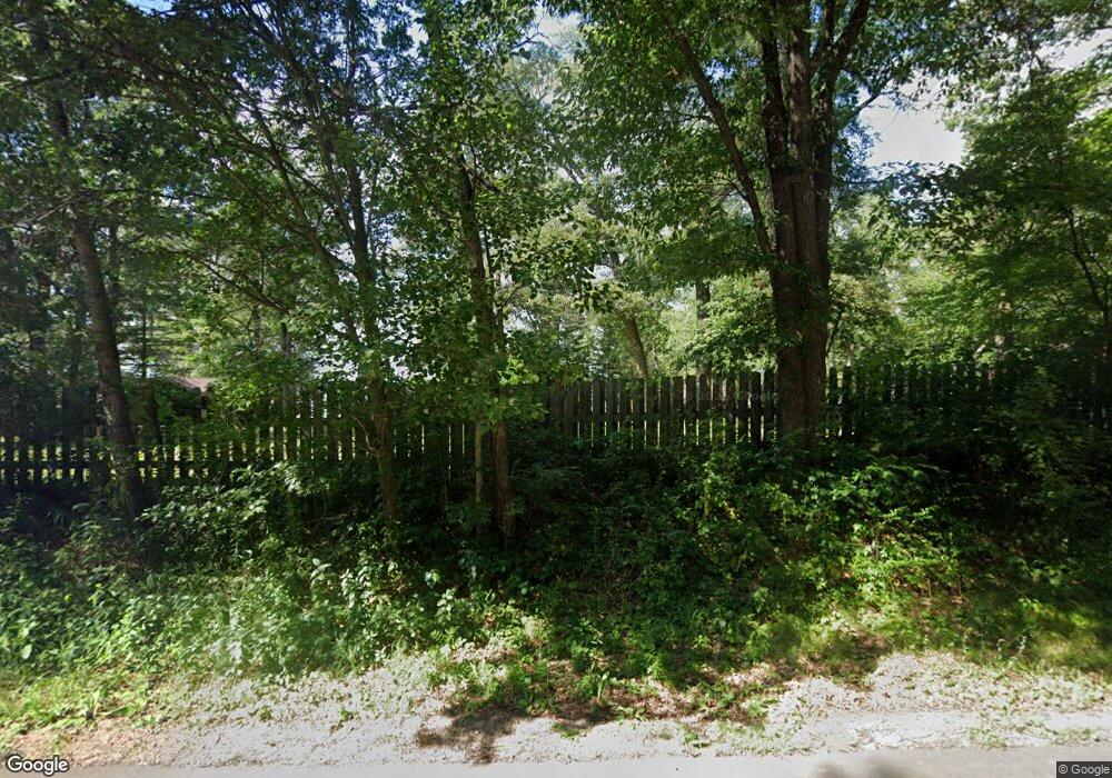
28861 Gene Rd Merrifield, MN 56465
Estimated Value: $385,000 - $521,000
2
Beds
1
Bath
520
Sq Ft
$859/Sq Ft
Est. Value
About This Home
This home is located at 28861 Gene Rd, Merrifield, MN 56465 and is currently estimated at $446,741, approximately $859 per square foot. 28861 Gene Rd is a home located in Crow Wing County with nearby schools including Cuyuna Range Elementary School and Crosby-Ironton Secondary School.
Ownership History
Date
Name
Owned For
Owner Type
Purchase Details
Closed on
Jul 28, 2020
Sold by
Galatowitsch Joseph L
Bought by
Porter George E
Current Estimated Value
Purchase Details
Closed on
Oct 1, 2011
Sold by
Steer Richard and Steer Shari
Bought by
Johnson Richard and Johnson Pamela
Purchase Details
Closed on
Jun 1, 2001
Sold by
Finnila Romona B
Bought by
Steer Richard A
Purchase Details
Closed on
Jul 1, 1999
Sold by
Johnson George W
Bought by
Finnila Ramona B
Create a Home Valuation Report for This Property
The Home Valuation Report is an in-depth analysis detailing your home's value as well as a comparison with similar homes in the area
Home Values in the Area
Average Home Value in this Area
Purchase History
| Date | Buyer | Sale Price | Title Company |
|---|---|---|---|
| Porter George E | $18,000 | Noble Escrow & Title Inc | |
| Johnson Richard | $182,500 | -- | |
| Steer Richard A | $114,900 | -- | |
| Finnila Ramona B | $83,000 | -- |
Source: Public Records
Tax History Compared to Growth
Tax History
| Year | Tax Paid | Tax Assessment Tax Assessment Total Assessment is a certain percentage of the fair market value that is determined by local assessors to be the total taxable value of land and additions on the property. | Land | Improvement |
|---|---|---|---|---|
| 2025 | $1,662 | $365,500 | $278,200 | $87,300 |
| 2024 | $1,662 | $329,200 | $248,600 | $80,600 |
| 2023 | $1,824 | $322,000 | $248,600 | $73,400 |
| 2022 | $1,648 | $319,500 | $249,300 | $70,200 |
| 2021 | $1,520 | $227,400 | $179,900 | $47,500 |
| 2020 | $1,646 | $206,500 | $163,000 | $43,500 |
| 2019 | $1,508 | $206,500 | $162,600 | $43,900 |
| 2018 | $1,488 | $183,700 | $145,900 | $37,800 |
| 2017 | $1,504 | $183,100 | $145,900 | $37,200 |
| 2016 | $1,448 | $172,800 | $136,200 | $36,600 |
| 2015 | $1,486 | $174,700 | $139,400 | $35,300 |
| 2014 | $698 | $162,600 | $126,300 | $36,300 |
Source: Public Records
Map
Nearby Homes
- Tract C Tract C-Polaris
- 13084 Mission Park Dr
- Tract B Polaris Ln
- Tract D Polaris Ln
- 29655 E Horseshoe Lake Rd
- Parcel F SW Horseshoe Lake Rd
- 13632 Piney Ln
- 29750 County Road 3
- 15723 County Road 109
- TBD Cr-109
- 15995 County Road 109
- 14713 Lazur Ln
- 27181 Ridgewood Dr
- 13893 County Road 116
- TBD Lakeview Ln
- 13309 Ossipee Rd
- 13108 Ossipee Rd
- 26363 County Road 3
- 12124 County Road 118
- 26803 Pelican Beach Rd
- 28867 Gene Rd
- 28855 Gene Rd
- 28847 Gene Rd
- 14358 Mission Park Dr
- 28833 Gene Rd
- 14378 Mission Park Dr
- 14258 Mission Park Dr
- 14394 Mission Park Dr
- Lot 7 Mission Park Dr
- xxx lot 7 Mission Park Dr
- 14402 Mission Park Dr
- 14228 Mission Park Dr
- 14424 Mission Park Dr
- Lot 5 Mission Park Dr
- Lot 2 Mission Park Dr
- Lot 1 Mission Park Dr
- xxx lot 5 Mission Park Dr
- xxx lot 2 Mission Park Dr
- xxx lot 1 Mission Park Dr
- 14442 Mission Park Dr
