Estimated Value: $111,433 - $167,000
3
Beds
2
Baths
1,056
Sq Ft
$136/Sq Ft
Est. Value
About This Home
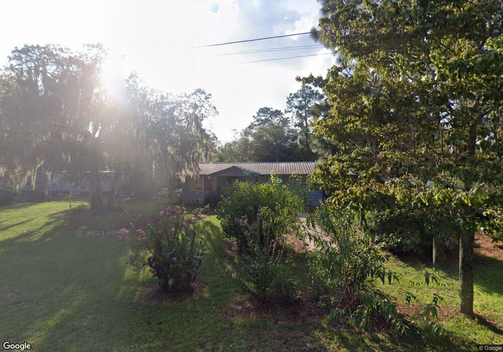
This home is located at 289 Berrien St, Jesup, GA 31545 and is currently estimated at $143,858, approximately $136 per square foot. 289 Berrien St is a home located in Wayne County with nearby schools including Martha Rawls Smith Elementary School, Arthur Williams Middle School, and Wayne County High School.
Ownership History
Date
Name
Owned For
Owner Type
Purchase Details
Closed on
Oct 31, 2011
Sold by
Federal National Mortgage Association
Bought by
Travera Domingo
Current Estimated Value
Purchase Details
Closed on
Aug 28, 2011
Sold by
Bank Of America Na
Bought by
Federal National Mortgage Assocation
Purchase Details
Closed on
Jun 1, 2003
Sold by
Carter Robert and Carter Jackie
Bought by
Oglesby Jesse C
Purchase Details
Closed on
Dec 1, 2001
Bought by
Carter Robert and Carter Jackie
Purchase Details
Closed on
Jul 1, 1981
Purchase Details
Closed on
Aug 1, 1974
Create a Home Valuation Report for This Property
The Home Valuation Report is an in-depth analysis detailing your home's value as well as a comparison with similar homes in the area
Home Values in the Area
Average Home Value in this Area
Purchase History
| Date | Buyer | Sale Price | Title Company |
|---|---|---|---|
| Travera Domingo | -- | -- | |
| Federal National Mortgage Assocation | -- | -- | |
| Oglesby Jesse C | $52,000 | -- | |
| Carter Robert | $47,500 | -- | |
| -- | $11,300 | -- | |
| -- | -- | -- |
Source: Public Records
Tax History Compared to Growth
Tax History
| Year | Tax Paid | Tax Assessment Tax Assessment Total Assessment is a certain percentage of the fair market value that is determined by local assessors to be the total taxable value of land and additions on the property. | Land | Improvement |
|---|---|---|---|---|
| 2024 | $799 | $30,177 | $3,600 | $26,577 |
| 2023 | $497 | $16,928 | $2,078 | $14,850 |
| 2022 | $533 | $16,928 | $2,078 | $14,850 |
| 2021 | $571 | $16,928 | $2,078 | $14,850 |
| 2020 | $633 | $18,144 | $3,294 | $14,850 |
| 2019 | $652 | $18,144 | $3,294 | $14,850 |
| 2018 | $652 | $18,144 | $3,294 | $14,850 |
| 2017 | $561 | $18,144 | $3,294 | $14,850 |
| 2016 | $543 | $18,144 | $3,294 | $14,850 |
| 2014 | $544 | $18,144 | $3,294 | $14,850 |
| 2013 | -- | $18,143 | $3,294 | $14,849 |
Source: Public Records
Map
Nearby Homes
- 2 Rayonier Rd
- 3 Rayonier Rd
- 1 Rayonier Rd
- 50 Sangster Rd
- 24 Sangster Rd
- 47 Yellow Pine Rd
- 2636 Beechwood Dr
- 141 Nichols Rd
- 2606 Beechwood Dr
- 161 Evors Rd
- 290 Yellow Pine Rd
- 0 Shrine Club Rd Unit 163602
- 1275 Rayonier Rd
- 125 Pleasant Way
- 200 W Melody Dr
- 290 Rodman Rd
- 391 Rodman Rd
- 404 River Ridge Cir
- 196 Pine Ridge Rd
- 260 Pine Ridge Rd
- 251 Berrien St
- 327 Berrien St
- 157 John Smith Rd
- 225 Berrien St
- 19 Riddle Rd
- 154 John Smith Rd
- 110 John Smith Rd
- 383 Berrien St
- 172 Linden Bluff Rd
- 139 Berrien St
- 82 John Smith Rd
- 202 Linden Bluff Rd
- 274 Linden Bluff Rd
- 50 John Smith Rd
- 261 Mellon St
- 0 Mellon St
- 131 Berrien St
- 140 Berrien St
- 299 Mellon St
- 188 Mellon St