Estimated Value: $431,000 - $482,000
3
Beds
3
Baths
1,288
Sq Ft
$354/Sq Ft
Est. Value
About This Home
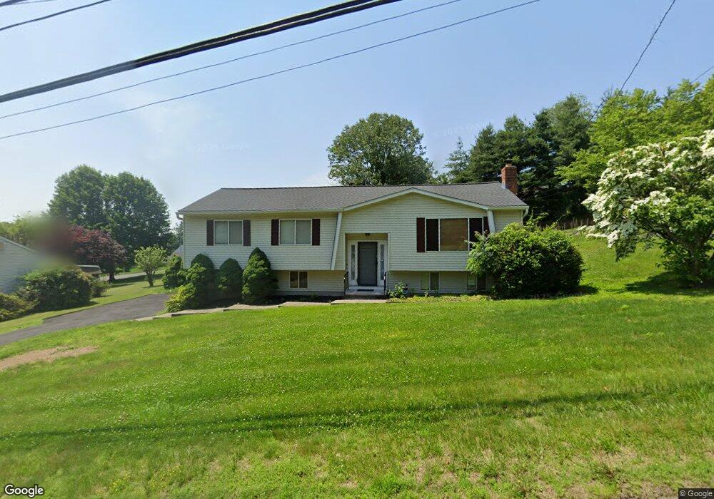
This home is located at 289 David Humphrey Rd, Derby, CT 06418 and is currently estimated at $456,392, approximately $354 per square foot. 289 David Humphrey Rd is a home located in New Haven County with nearby schools including Derby Middle School, Derby High School, and The Foundation School Lower & Middle School.
Ownership History
Date
Name
Owned For
Owner Type
Purchase Details
Closed on
Oct 19, 2011
Sold by
Est Breslin Anne and Jeracka John
Bought by
Mclaine Charles
Current Estimated Value
Home Financials for this Owner
Home Financials are based on the most recent Mortgage that was taken out on this home.
Original Mortgage
$224,725
Outstanding Balance
$153,419
Interest Rate
4.12%
Mortgage Type
FHA
Estimated Equity
$302,973
Create a Home Valuation Report for This Property
The Home Valuation Report is an in-depth analysis detailing your home's value as well as a comparison with similar homes in the area
Home Values in the Area
Average Home Value in this Area
Purchase History
| Date | Buyer | Sale Price | Title Company |
|---|---|---|---|
| Mclaine Charles | $247,500 | -- |
Source: Public Records
Mortgage History
| Date | Status | Borrower | Loan Amount |
|---|---|---|---|
| Open | Mclaine Charles | $224,725 | |
| Previous Owner | Mclaine Charles | $442,500 |
Source: Public Records
Tax History Compared to Growth
Tax History
| Year | Tax Paid | Tax Assessment Tax Assessment Total Assessment is a certain percentage of the fair market value that is determined by local assessors to be the total taxable value of land and additions on the property. | Land | Improvement |
|---|---|---|---|---|
| 2025 | $7,315 | $169,330 | $45,430 | $123,900 |
| 2024 | $7,315 | $169,330 | $45,430 | $123,900 |
| 2023 | $6,536 | $169,330 | $45,430 | $123,900 |
| 2022 | $6,536 | $169,330 | $45,430 | $123,900 |
| 2021 | $6,536 | $169,330 | $45,430 | $123,900 |
| 2020 | $6,863 | $156,450 | $45,430 | $111,020 |
| 2019 | $6,551 | $156,450 | $45,430 | $111,020 |
| 2018 | $6,159 | $156,450 | $45,430 | $111,020 |
| 2017 | $6,159 | $156,450 | $45,430 | $111,020 |
| 2016 | $6,159 | $156,450 | $45,430 | $111,020 |
| 2015 | $5,887 | $164,710 | $45,430 | $119,280 |
| 2014 | $5,887 | $164,710 | $45,430 | $119,280 |
Source: Public Records
Map
Nearby Homes
- 51 Commodore Commons Unit 51
- 15 Derbyshire
- 121 Bradley Terrace
- 166 Shagbark Dr Unit 166
- 1024 Willard Rd
- 238 Shagbark Dr
- 37 Orangewood W
- 25 Beechwood Dr
- 28 Mclaughlin Terrace
- 204 New Haven Ave Unit 2G
- 111 High St
- 196 New Haven Ave Unit 322
- 965 Red Fox Rd
- 151 Benz St
- 206 Deerfield Ln Unit 206
- 120 Pulaski Hwy
- 25 Glen Dr
- 100 Mount Pleasant St
- 1 Bank St
- 63 Derby Ave
- 285 David Humphrey Rd
- 295 David Humphrey Rd
- 2 General Wooster Rd
- 290 David Humphrey Rd
- 300 David Humphrey Rd
- 281 David Humphrey Rd
- 13 Commodore Hull Dr
- 4 General Wooster Rd
- 15 Commodore Hull Dr
- 315 David Humphrey Rd
- 310 David Humphrey Rd
- 3 Benanto Dr
- 1 General Wooster Rd
- 255 David Humphrey Rd
- 11 Commodore Hull Dr
- 1 Osullivan Rd
- 4 Benanto Dr
- 6 General Wooster Rd
- 319 David Humphrey Rd
- 1 Franklin Ave