289 Denison Way Sevierville, TN 37876
Estimated Value: $589,000 - $947,980
--
Bed
1
Bath
1,856
Sq Ft
$414/Sq Ft
Est. Value
About This Home
This home is located at 289 Denison Way, Sevierville, TN 37876 and is currently estimated at $768,490, approximately $414 per square foot. 289 Denison Way is a home with nearby schools including Catons Chapel Elementary School, Jones Cove Elementary School, and Northview Elementary School.
Ownership History
Date
Name
Owned For
Owner Type
Purchase Details
Closed on
Jul 21, 2017
Sold by
Wilson Steven and Wilson Lorin
Bought by
Mees Garry L and Craig Mees Christina D
Current Estimated Value
Purchase Details
Closed on
Aug 15, 2014
Sold by
Hloska Christopher
Bought by
Wilson Steven and Wilson Lorin
Purchase Details
Closed on
Dec 16, 2013
Sold by
Hloska Christopher
Bought by
Hloska Christopher and Hloska Jennifer
Purchase Details
Closed on
Mar 16, 2009
Sold by
Ford Amanda R
Bought by
Hloska Christopher
Create a Home Valuation Report for This Property
The Home Valuation Report is an in-depth analysis detailing your home's value as well as a comparison with similar homes in the area
Home Values in the Area
Average Home Value in this Area
Purchase History
| Date | Buyer | Sale Price | Title Company |
|---|---|---|---|
| Mees Garry L | $58,500 | None Available | |
| Wilson Steven | $54,500 | -- | |
| Hloska Christopher | -- | -- | |
| Hloska Christopher | $62,500 | -- |
Source: Public Records
Tax History Compared to Growth
Tax History
| Year | Tax Paid | Tax Assessment Tax Assessment Total Assessment is a certain percentage of the fair market value that is determined by local assessors to be the total taxable value of land and additions on the property. | Land | Improvement |
|---|---|---|---|---|
| 2025 | $1,770 | $119,600 | $13,750 | $105,850 |
| 2024 | $1,770 | $119,600 | $13,750 | $105,850 |
| 2023 | $1,770 | $119,600 | $0 | $0 |
| 2022 | $1,770 | $119,600 | $13,750 | $105,850 |
| 2021 | $1,101 | $119,600 | $13,750 | $105,850 |
| 2020 | $256 | $74,400 | $13,750 | $60,650 |
| 2019 | $256 | $13,750 | $13,750 | $0 |
| 2018 | $256 | $13,750 | $13,750 | $0 |
| 2017 | $256 | $13,750 | $13,750 | $0 |
| 2016 | $256 | $13,750 | $13,750 | $0 |
| 2015 | -- | $13,750 | $0 | $0 |
| 2014 | $224 | $13,750 | $0 | $0 |
Source: Public Records
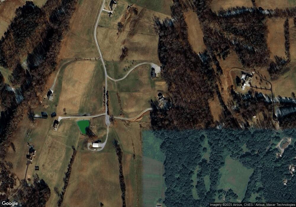
Map
Nearby Homes
- 134 Burning Oaks Dr
- 279 Arrowhead Mountain Way
- 125 Burning Oaks Dr
- 150 Burning Oaks Dr
- 274 Burning Oaks Dr
- 105 Burning Oaks Dr
- 224 Burning Oaks Dr
- 1 Thomas Cross Rd
- 00 Thomas Cross Rd
- 0 Thomas Cross Rd Unit 1312639
- 223 Burning Oaks Dr
- 320 Muscadine Ct
- 3851 Mistletoe Loop
- 3650 Phillips Rd
- 3643 Thomas Cross Rd
- 4151 Newport Hwy
- 4169 Newport Hwy
- 577 Thomas Loop Rd
- 509 Thomas Loop Rd
- 4310 Stonehenge Way
- 277 Denison Way
- 296 Denison Way
- 282 Denison Way
- 247 Denison Way
- 3954 Thomas Cross Rd
- 000 Denison Way
- 3950 Thomas Cross Rd
- 3838 Thomas Cross Rd
- 3928 Thomas Cross Rd
- 237 Denison Way
- 0 Lot 12 Denison Way Unit 1006240
- 491 Mary Ruth Way
- 3945 Thomas Cross Rd
- 3964 Thomas Cross Rd
- 216 Denison Way
- 450 Mary Ruth Way
- 3980 Thomas Cross Rd
- 3980 Thomas Cross Rd
- 280 Hardwork Rd
- 416 Mary Ruth Way