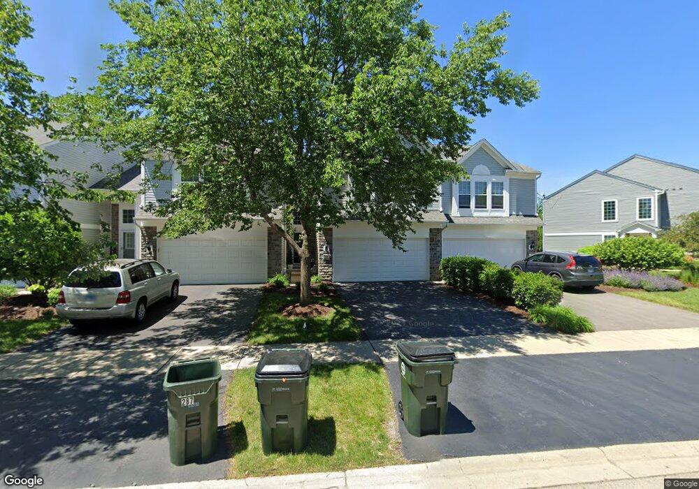
289 Devoe Dr Unit 4315 Oswego, IL 60543
North Oswego NeighborhoodEstimated Value: $309,000 - $321,000
3
Beds
3
Baths
1,500
Sq Ft
$209/Sq Ft
Est. Value
About This Home
This home is located at 289 Devoe Dr Unit 4315, Oswego, IL 60543 and is currently estimated at $313,645, approximately $209 per square foot. 289 Devoe Dr Unit 4315 is a home located in Kendall County with nearby schools including Southbury Elementary School, Murphy Junior High School, and Oswego East High School.
Ownership History
Date
Name
Owned For
Owner Type
Purchase Details
Closed on
Nov 13, 2009
Sold by
Pulte Home Corporation
Bought by
Seeber Christopher D and Seeber Courtney C
Current Estimated Value
Home Financials for this Owner
Home Financials are based on the most recent Mortgage that was taken out on this home.
Original Mortgage
$185,340
Outstanding Balance
$121,699
Interest Rate
5.11%
Mortgage Type
FHA
Estimated Equity
$191,946
Create a Home Valuation Report for This Property
The Home Valuation Report is an in-depth analysis detailing your home's value as well as a comparison with similar homes in the area
Home Values in the Area
Average Home Value in this Area
Purchase History
| Date | Buyer | Sale Price | Title Company |
|---|---|---|---|
| Seeber Christopher D | $189,000 | None Available |
Source: Public Records
Mortgage History
| Date | Status | Borrower | Loan Amount |
|---|---|---|---|
| Open | Seeber Christopher D | $185,340 |
Source: Public Records
Tax History Compared to Growth
Tax History
| Year | Tax Paid | Tax Assessment Tax Assessment Total Assessment is a certain percentage of the fair market value that is determined by local assessors to be the total taxable value of land and additions on the property. | Land | Improvement |
|---|---|---|---|---|
| 2024 | $6,270 | $83,910 | $16,496 | $67,414 |
| 2023 | $5,610 | $74,256 | $14,598 | $59,658 |
| 2022 | $5,610 | $68,125 | $13,393 | $54,732 |
| 2021 | $5,688 | $66,789 | $13,130 | $53,659 |
| 2020 | $5,682 | $66,128 | $13,000 | $53,128 |
| 2019 | $5,772 | $66,128 | $13,000 | $53,128 |
| 2018 | $5,405 | $61,842 | $9,456 | $52,386 |
| 2017 | $5,228 | $56,997 | $8,715 | $48,282 |
| 2016 | $4,865 | $52,775 | $8,069 | $44,706 |
| 2015 | $4,579 | $47,977 | $7,335 | $40,642 |
| 2014 | -- | $46,132 | $7,053 | $39,079 |
| 2013 | -- | $48,560 | $7,424 | $41,136 |
Source: Public Records
Map
Nearby Homes
- 600 Hawley Dr Unit 4346
- 154 Chapin Way
- 2566 Rourke Dr
- 115 Henderson St
- 2413 Dickens Dr
- Meadowlark Plan at Hudson Pointe - II - Horizon Series
- Starling Plan at Hudson Pointe - II - Horizon Series
- Townsend Plan at Hudson Pointe - II - Horizon Series
- Marianne Plan at Hudson Pointe - II - Townhome Series
- Darcy Plan at Hudson Pointe - II - Townhome Series
- Charlotte Plan at Hudson Pointe - II - Townhome Series
- Brighton Plan at Hudson Pointe - II - Horizon Series
- Hawthorne Plan at Hudson Pointe - II - Horizon Series
- Glenwood Plan at Hudson Pointe - II - Horizon Series
- Essex Plan at Hudson Pointe - II - Horizon Series
- 1906 Indian Hill Ln Unit 4223
- 1961 Wilson Creek Cir
- 135 Henderson St
- 244 Cooney Way
- 245 Cooney Way
- 291 Devoe Dr Unit 4316
- 287 Devoe Dr Unit 4314
- 285 Devoe Dr Unit 4313
- 283 Devoe Dr Unit 4312
- 281 Devoe Dr Unit 4311
- 640 Hawley Dr
- 642 Hawley Dr Unit 4373
- 644 Hawley Dr Unit 4372
- 646 Hawley Dr Unit 4371
- 652 Hawley Dr Unit 4383
- 652 Hawley Dr Unit 438
- 265 Devoe Dr Unit 265
- 265 Devoe Dr Unit 543
- 265 Devoe Dr
- 265 Devoe Dr Unit 323
- 654 Hawley Dr Unit 4382
- 656 Hawley Dr Unit 4381
- 650 Hawley Dr Unit 650
- 263 Devoe Dr
- 261 Devoe Dr Unit 4321