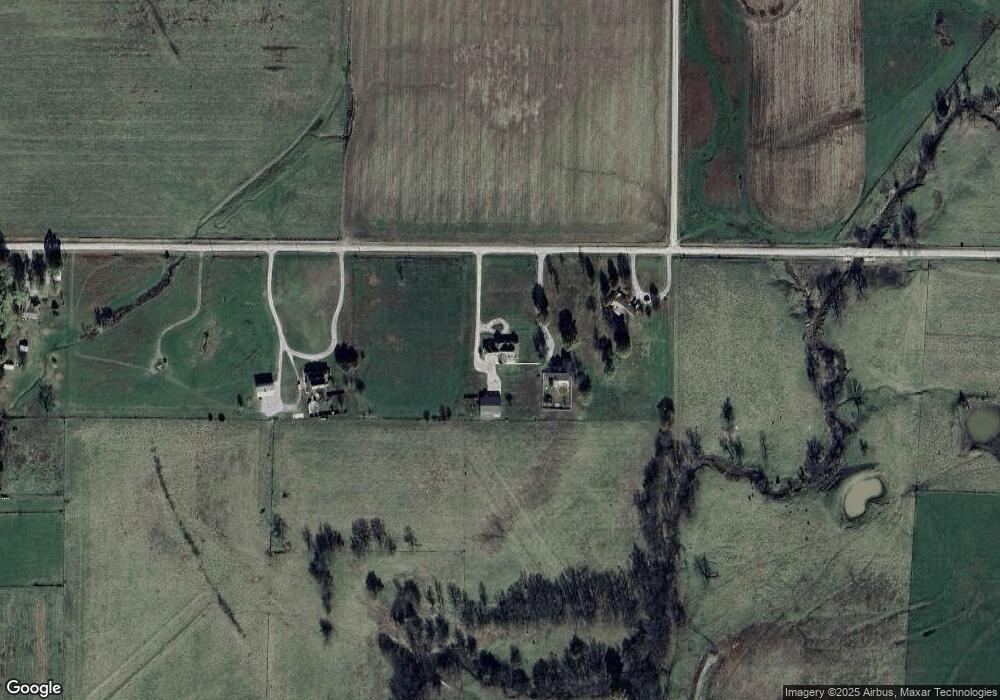
289 E 610th Ave Girard, KS 66743
Estimated Value: $385,000 - $464,000
4
Beds
3
Baths
3,108
Sq Ft
$138/Sq Ft
Est. Value
About This Home
This home is located at 289 E 610th Ave, Girard, KS 66743 and is currently estimated at $428,525, approximately $137 per square foot. 289 E 610th Ave is a home located in Crawford County with nearby schools including R.V. Haderlein Elementary School, Girard Middle School, and Girard High School.
Ownership History
Date
Name
Owned For
Owner Type
Purchase Details
Closed on
Dec 19, 2013
Sold by
Blair Troy D and Blair Lisa M
Bought by
Scherencel Rodney C and Scherencel Patricia Lynne
Current Estimated Value
Purchase Details
Closed on
Nov 1, 2003
Bought by
Scherencel Rodney C and Scherencel Patricia Lynne
Create a Home Valuation Report for This Property
The Home Valuation Report is an in-depth analysis detailing your home's value as well as a comparison with similar homes in the area
Home Values in the Area
Average Home Value in this Area
Purchase History
| Date | Buyer | Sale Price | Title Company |
|---|---|---|---|
| Scherencel Rodney C | -- | Crawford Cnty Abstract Co Inc | |
| Scherencel Rodney C | $10,000 | -- |
Source: Public Records
Tax History Compared to Growth
Tax History
| Year | Tax Paid | Tax Assessment Tax Assessment Total Assessment is a certain percentage of the fair market value that is determined by local assessors to be the total taxable value of land and additions on the property. | Land | Improvement |
|---|---|---|---|---|
| 2025 | $4,629 | $41,320 | $2,391 | $38,929 |
| 2024 | $4,629 | $39,988 | $2,174 | $37,814 |
| 2023 | $4,812 | $41,032 | $2,532 | $38,500 |
| 2022 | $5,717 | $48,151 | $2,323 | $45,828 |
| 2021 | $3,303 | $27,830 | $1,914 | $25,916 |
| 2020 | $3,312 | $27,830 | $1,435 | $26,395 |
| 2019 | $3,314 | $27,830 | $1,435 | $26,395 |
| 2018 | $3,318 | $27,830 | $1,435 | $26,395 |
| 2017 | $3,331 | $27,830 | $1,366 | $26,464 |
| 2016 | $3,232 | $27,830 | $1,366 | $26,464 |
| 2015 | $2,909 | $27,830 | $1,318 | $26,512 |
| 2014 | $2,909 | $27,830 | $1,266 | $26,564 |
Source: Public Records
Map
Nearby Homes
- 305 S 170th St
- 110 S Williams St
- 510 S Ozark St
- 230 E Prairie St
- 304 S Ozark St
- 300 S Ozark St
- 205 N Cherokee St
- 600 S Osage St
- 114 E Howard St
- 576 E 47 Hwy
- 404 W Buffalo St
- 531 E 630th Ave
- 109 N Western Ave
- 173 Kansas 7
- 173 N 7 Hwy
- 727 N Leonard St
- 603 Lakeside Ct
- 724 Village Dr
- 407 N Harmon St
- 00 E 610th Ave
- 295 E 610th Ave
- 297 E 610th Ave
- 277 E 610th Ave
- 277 E 610th Ave
- 263 E 610th Ave
- 259 E 610th Ave
- 255 E 610th Ave
- 2511 Carline Rd
- 2609 Carline Rd
- 2601 Carline Rd
- 156 S 170th St
- 2703 Carline Rd
- 2709 Carline Rd
- 152 S 170th St
- 2507 Carline Rd
- 2610 Carline Rd
- 145 S 170th St
- 2604 Carline Rd
- 358 E 610th Ave
- 227 E 610th Ave