289 Harmony Ln Unit 289 Titusville, FL 32780
Estimated Value: $585,000 - $711,000
--
Bed
--
Bath
2,016
Sq Ft
$325/Sq Ft
Est. Value
About This Home
This home is located at 289 Harmony Ln Unit 289, Titusville, FL 32780 and is currently estimated at $655,014, approximately $324 per square foot. 289 Harmony Ln Unit 289 is a home located in Brevard County with nearby schools including Imperial Estates Elementary School, Titusville High School, and Andrew Jackson Middle School.
Ownership History
Date
Name
Owned For
Owner Type
Purchase Details
Closed on
Jul 15, 2016
Sold by
Devries Louis M and Devries Tamara M
Bought by
Devries Louis M and Devries Tamara M
Current Estimated Value
Purchase Details
Closed on
Jul 1, 2016
Bought by
De Vries Family Trust
Purchase Details
Closed on
May 17, 2006
Sold by
T G O Camp Site Llc
Bought by
Devries Louis M and Devries Tamara M
Home Financials for this Owner
Home Financials are based on the most recent Mortgage that was taken out on this home.
Original Mortgage
$71,910
Interest Rate
7.12%
Mortgage Type
Fannie Mae Freddie Mac
Create a Home Valuation Report for This Property
The Home Valuation Report is an in-depth analysis detailing your home's value as well as a comparison with similar homes in the area
Home Values in the Area
Average Home Value in this Area
Purchase History
| Date | Buyer | Sale Price | Title Company |
|---|---|---|---|
| Devries Louis M | -- | None Available | |
| De Vries Family Trust | $100 | -- | |
| Devries Louis M | $84,900 | Attorney |
Source: Public Records
Mortgage History
| Date | Status | Borrower | Loan Amount |
|---|---|---|---|
| Previous Owner | Devries Louis M | $71,910 |
Source: Public Records
Tax History Compared to Growth
Tax History
| Year | Tax Paid | Tax Assessment Tax Assessment Total Assessment is a certain percentage of the fair market value that is determined by local assessors to be the total taxable value of land and additions on the property. | Land | Improvement |
|---|---|---|---|---|
| 2025 | $3,992 | $314,850 | -- | -- |
| 2024 | $3,943 | $305,980 | -- | -- |
| 2023 | $3,943 | $297,070 | $0 | $0 |
| 2022 | $3,758 | $288,420 | $0 | $0 |
| 2021 | $3,920 | $280,020 | $0 | $0 |
| 2020 | $3,879 | $276,160 | $0 | $0 |
| 2019 | $3,849 | $269,960 | $0 | $0 |
| 2018 | $3,866 | $264,930 | $0 | $0 |
| 2017 | $3,924 | $259,490 | $0 | $0 |
| 2016 | $3,989 | $254,160 | $70,000 | $184,160 |
| 2015 | $4,084 | $252,400 | $70,000 | $182,400 |
| 2014 | $4,112 | $250,400 | $70,000 | $180,400 |
Source: Public Records
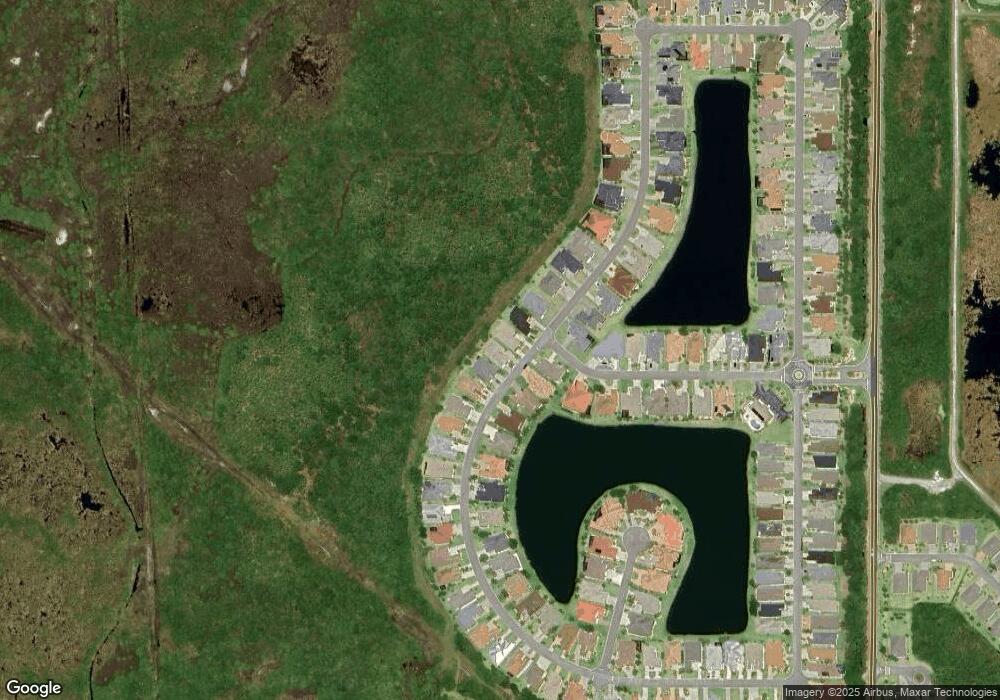
Map
Nearby Homes
- 270 Harmony Ln Unit 270
- 252 Harmony Ln Unit 252
- 331 Harmony Ln
- 217 Harmony Ln
- 437 Harmony Ln Unit 437
- 137 Harmony Ln
- 115 Bowfin Ct
- 40 Sunset Dr Unit 40
- 50 Sunset Dr Unit 50
- 13 Sunset Dr Unit 13
- 22 Sunset Dr Unit 22
- 65 Sunset Dr
- 6 Sunset Dr
- 95 Sunset Dr
- 163 Greenwing Trail Unit 163
- 840 Plantation Dr
- 148 Greenwing Trail Unit 148
- 181 Greenwing Trail Unit 181
- 152 Plantation Dr
- 177 Plantation Dr
- 293 Harmony Ln
- 285 Harmony Ln Unit 285
- 297 Harmony Ln Unit 297
- 281 Harmony Ln Unit 281
- 282 Harmony Ln
- 292 Harmony Ln Unit 292
- 277 Harmony Ln Unit 277
- 276 Harmony Ln
- 489 Ambleside Dr
- 269 Harmony Ln
- 265 Harmony Ln Unit 265
- 485 Ambleside Dr Unit 485
- 484 Ambleside Dr
- 258 Harmony Ln Unit 258
- 481 Ambleside Dr Unit 481
- 261 Harmony Ln
- 480 Ambleside Dr Unit 480
- 477 Ambleside Dr
- 257 Harmony Ln
- 476 Ambleside Dr Unit 476