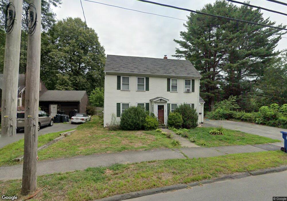
289 Maple St Danvers, MA 01923
Estimated Value: $591,624 - $781,000
2
Beds
2
Baths
1,297
Sq Ft
$503/Sq Ft
Est. Value
About This Home
This home is located at 289 Maple St, Danvers, MA 01923 and is currently estimated at $651,906, approximately $502 per square foot. 289 Maple St is a home located in Essex County with nearby schools including Danvers High School, St. Mary of the Annunciation School, and St. John's Prep.
Ownership History
Date
Name
Owned For
Owner Type
Purchase Details
Closed on
Sep 2, 2022
Sold by
Goldberg Marie A Est and Goldberg
Bought by
Freeman James C and Plassmann Matthew T
Current Estimated Value
Home Financials for this Owner
Home Financials are based on the most recent Mortgage that was taken out on this home.
Original Mortgage
$392,000
Outstanding Balance
$370,960
Interest Rate
4.5%
Mortgage Type
Purchase Money Mortgage
Estimated Equity
$280,946
Purchase Details
Closed on
Apr 14, 1995
Sold by
Zani Alan and Zani Kristen
Bought by
Goldberg Marie A
Create a Home Valuation Report for This Property
The Home Valuation Report is an in-depth analysis detailing your home's value as well as a comparison with similar homes in the area
Home Values in the Area
Average Home Value in this Area
Purchase History
| Date | Buyer | Sale Price | Title Company |
|---|---|---|---|
| Freeman James C | $490,000 | None Available | |
| Goldberg Marie A | $134,500 | -- |
Source: Public Records
Mortgage History
| Date | Status | Borrower | Loan Amount |
|---|---|---|---|
| Open | Freeman James C | $392,000 | |
| Previous Owner | Goldberg Marie A | $165,000 | |
| Previous Owner | Goldberg Marie A | $133,000 | |
| Previous Owner | Goldberg Marie A | $118,000 |
Source: Public Records
Tax History
| Year | Tax Paid | Tax Assessment Tax Assessment Total Assessment is a certain percentage of the fair market value that is determined by local assessors to be the total taxable value of land and additions on the property. | Land | Improvement |
|---|---|---|---|---|
| 2025 | $6,041 | $549,700 | $362,400 | $187,300 |
| 2024 | $6,054 | $544,900 | $362,400 | $182,500 |
| 2023 | $5,770 | $491,100 | $321,600 | $169,500 |
| 2022 | $5,675 | $448,300 | $281,100 | $167,200 |
| 2021 | $5,349 | $400,700 | $255,400 | $145,300 |
| 2020 | $5,005 | $383,200 | $247,300 | $135,900 |
| 2019 | $5,033 | $379,000 | $239,200 | $139,800 |
| 2018 | $4,795 | $354,100 | $232,500 | $121,600 |
| 2017 | $4,727 | $333,100 | $216,300 | $116,800 |
| 2016 | $4,544 | $320,000 | $206,800 | $113,200 |
| 2015 | $4,261 | $285,800 | $179,800 | $106,000 |
Source: Public Records
Map
Nearby Homes
- 11 Spring St
- 102 Centre St
- 6 Venice St Unit B3
- 40 Centre St
- 22 Maple Ave
- 10 Clark St
- 4 Butler Ave
- 14 Williams St Unit C17
- 35 Locust St Unit 3
- 22 Collins St Unit 31
- 103 Newbury St Unit 1
- 57 Adams St
- 78 North St
- 98 Newbury St Unit 4B
- 98 Newbury St Unit 18B
- 12 Exeter St
- 35 High St Unit 3D
- 63 Adams St
- 4 Chatham Ln
- 2 Iroquois Rd
- 291 Maple St
- 293 Maple St
- 285 Maple St
- 278 Maple St
- 284 Maple St
- 274 Maple St
- 301 Maple St
- 283 Maple St
- 13 Colantoni Dr
- 13 Colantoni Dr Unit F-3
- 13 Colantoni Dr Unit E-2
- 13 Colantoni Dr Unit A-1
- 286 Maple St
- 276 Maple St
- 272 Maple St
- 281 Maple St
- 14 Colantoni Dr
- Lot 16 Hilltop Dr
- 279 Maple St
- 305 Maple St
Your Personal Tour Guide
Ask me questions while you tour the home.