289 Moose Trail Whitefish, MT 59937
Estimated Value: $568,567 - $830,000
3
Beds
2
Baths
1,823
Sq Ft
$361/Sq Ft
Est. Value
About This Home
This home is located at 289 Moose Trail, Whitefish, MT 59937 and is currently estimated at $658,892, approximately $361 per square foot. 289 Moose Trail is a home located in Flathead County with nearby schools including L.A. Muldown School, Whitefish Middle School, and Whitefish High School.
Ownership History
Date
Name
Owned For
Owner Type
Purchase Details
Closed on
Sep 9, 2024
Sold by
Gordon Jonathan and Mejia Gabriela
Bought by
Jgjr Llc
Current Estimated Value
Purchase Details
Closed on
Sep 6, 2022
Sold by
Barranger J A
Bought by
Gordon Jonathan and Mejia Gabriela
Home Financials for this Owner
Home Financials are based on the most recent Mortgage that was taken out on this home.
Original Mortgage
$537,000
Interest Rate
4.5%
Mortgage Type
New Conventional
Create a Home Valuation Report for This Property
The Home Valuation Report is an in-depth analysis detailing your home's value as well as a comparison with similar homes in the area
Home Values in the Area
Average Home Value in this Area
Purchase History
| Date | Buyer | Sale Price | Title Company |
|---|---|---|---|
| Jgjr Llc | -- | None Listed On Document | |
| Gordon Jonathan | -- | Fidelity National Title |
Source: Public Records
Mortgage History
| Date | Status | Borrower | Loan Amount |
|---|---|---|---|
| Previous Owner | Gordon Jonathan | $537,000 |
Source: Public Records
Tax History
| Year | Tax Paid | Tax Assessment Tax Assessment Total Assessment is a certain percentage of the fair market value that is determined by local assessors to be the total taxable value of land and additions on the property. | Land | Improvement |
|---|---|---|---|---|
| 2025 | $1,664 | $567,100 | $0 | $0 |
| 2024 | $2,135 | $465,600 | $0 | $0 |
| 2023 | $2,322 | $465,600 | $0 | $0 |
| 2022 | $2,169 | $351,900 | $0 | $0 |
| 2021 | $2,356 | $351,900 | $0 | $0 |
| 2020 | $2,179 | $288,800 | $0 | $0 |
| 2019 | $2,322 | $288,800 | $0 | $0 |
| 2018 | $2,166 | $261,500 | $0 | $0 |
| 2017 | $2,032 | $261,500 | $0 | $0 |
| 2016 | $1,941 | $244,200 | $0 | $0 |
| 2015 | $1,915 | $244,200 | $0 | $0 |
| 2014 | $1,341 | $100,594 | $0 | $0 |
Source: Public Records
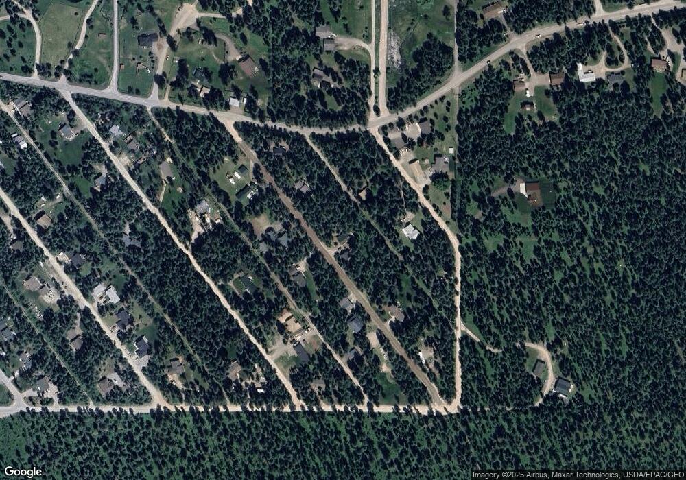
Map
Nearby Homes
- 272/268 Moose Trail
- 1785 Hodgson Rd
- 257 Fawn Trail
- 181 Mallard Loop
- 109 Lidstrom Rd
- 129 Mallard Loop
- 205 Whitetail Ln
- 444 Bear Trail
- 35 Stagecoach Dr
- 4870 US Highway 93 S Unit 38
- 182 Rosewood Ln Unit Lot 15
- 142 Rosewood Ln Unit Lot 18
- 185 Rosewood Ln Unit Lot 14
- 161 Rosewood Unit Lot 10
- 149 Rosewood Ln Unit Lot 8
- Address To Be Determ the Woodlands Unit Lot 9
- NHN Bowdish Rd
- 316 Sandalwood Ln Unit Lot 3
- 289 Layton Rd
- 1396 Whitefish Village Dr
- 291 Moose Trail
- NHN Moose Trail
- 294 Possum Trail
- 281 Moose Trail
- 288 Moose Trail
- 282/286 Possum Trail
- 284 Moose Trail
- 282 Possum Trail
- 277 Moose Trail
- 293 Moose Trail
- 295 Moose Trail
- 291 Possum Trail
- 291 Possum Trail
- 298 Possum Trail
- 279 Lion Trail
- 291 Lion Trail
- 287 Lion Trail
- 276 272 268 NHN Moose Trail
- 276, 272, 268, NHN Moose Trail
- 295 Lion Trail
Your Personal Tour Guide
Ask me questions while you tour the home.