Estimated Value: $370,000 - $551,000
3
Beds
2
Baths
2,655
Sq Ft
$172/Sq Ft
Est. Value
About This Home
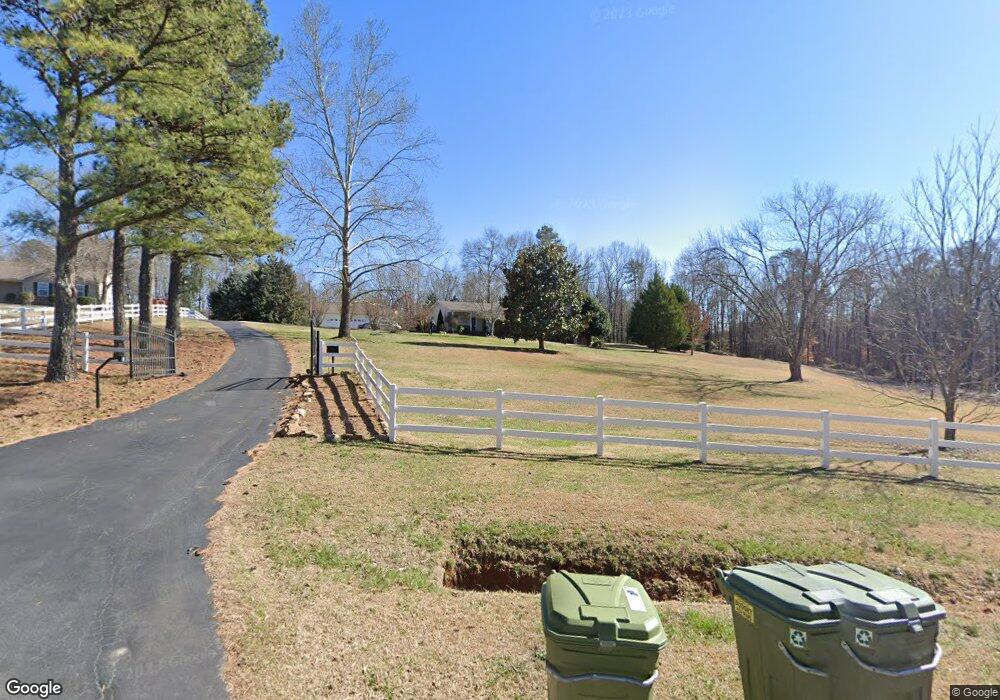
This home is located at 289 Pearson Rd, Greer, SC 29651 and is currently estimated at $455,576, approximately $171 per square foot. 289 Pearson Rd is a home located in Spartanburg County with nearby schools including Abner Creek Academy, Byrnes Freshman Academy, and James F. Byrnes High School.
Ownership History
Date
Name
Owned For
Owner Type
Purchase Details
Closed on
Jan 23, 2024
Sold by
Sewall Emily L
Bought by
Sewall Evan A
Current Estimated Value
Purchase Details
Closed on
Aug 15, 2014
Sold by
Edge Marcus and Edge Kathy
Bought by
Sewall Evan A and Sewall Emily L
Home Financials for this Owner
Home Financials are based on the most recent Mortgage that was taken out on this home.
Original Mortgage
$240,000
Interest Rate
3.95%
Mortgage Type
New Conventional
Create a Home Valuation Report for This Property
The Home Valuation Report is an in-depth analysis detailing your home's value as well as a comparison with similar homes in the area
Home Values in the Area
Average Home Value in this Area
Purchase History
| Date | Buyer | Sale Price | Title Company |
|---|---|---|---|
| Sewall Evan A | -- | None Listed On Document | |
| Sewall Evan A | $240,000 | -- |
Source: Public Records
Mortgage History
| Date | Status | Borrower | Loan Amount |
|---|---|---|---|
| Previous Owner | Sewall Evan A | $240,000 |
Source: Public Records
Tax History
| Year | Tax Paid | Tax Assessment Tax Assessment Total Assessment is a certain percentage of the fair market value that is determined by local assessors to be the total taxable value of land and additions on the property. | Land | Improvement |
|---|---|---|---|---|
| 2025 | $1,866 | $10,712 | $1,820 | $8,892 |
| 2023 | $1,866 | $10,712 | $1,820 | $8,892 |
| 2022 | $1,890 | $10,430 | $1,762 | $8,668 |
| 2021 | $1,879 | $10,430 | $1,762 | $8,668 |
| 2020 | $1,862 | $10,430 | $1,762 | $8,668 |
| 2019 | $1,862 | $10,430 | $1,762 | $8,668 |
| 2018 | $1,799 | $10,430 | $1,762 | $8,668 |
| 2017 | $1,596 | $9,194 | $1,762 | $7,432 |
| 2016 | $1,543 | $9,194 | $1,762 | $7,432 |
| 2015 | $4,509 | $12,720 | $2,568 | $10,152 |
| 2014 | $845 | $6,092 | $1,268 | $4,824 |
Source: Public Records
Map
Nearby Homes
- 7 Danielsen Way
- 300 Liberty Hill Rd
- 812 Kist Rd
- 6 Danielsen Ct
- 1035 Abner Creek Rd
- 1261 Brockman McClimon Rd
- 110 Diana Ct
- 382 Hudson Water Rd
- 627 Crossbuck Trail
- 619 Crossbuck Trail
- 509 Grandon Rd
- 132 Sandpine Way
- 1428 Donhill Dr
- 38 Red Horse Way
- 572 Backacre Ct
- 602 Rouen Ct
- 53 Red Horse Way
- 577 Adaliz Way
- 568 Backacre Ct
- 54 Red Horse Way
- 275 Pearson Rd
- 271 Pearson Rd
- 267 Pearson Rd
- 125 Greer Pelham Rd
- 155 Greer Pelham Rd
- 320 Pearson Rd
- 1513 Rosegarth Ln
- 1352 Ledsham Ct
- 541 Laxton Rd
- 1313 Ledsham Ct
- 1406 Buckview Ct
- 1360 Ledsham Ct
- 1324 Ledsham Ct
- 545 Laxton Rd
- 569 Laxton Rd
- 549 Laxton Rd
- 518 Laxton Rd
- 546 Laxton Rd
- 529 Laxton Rd
- 521 Laxton Rd