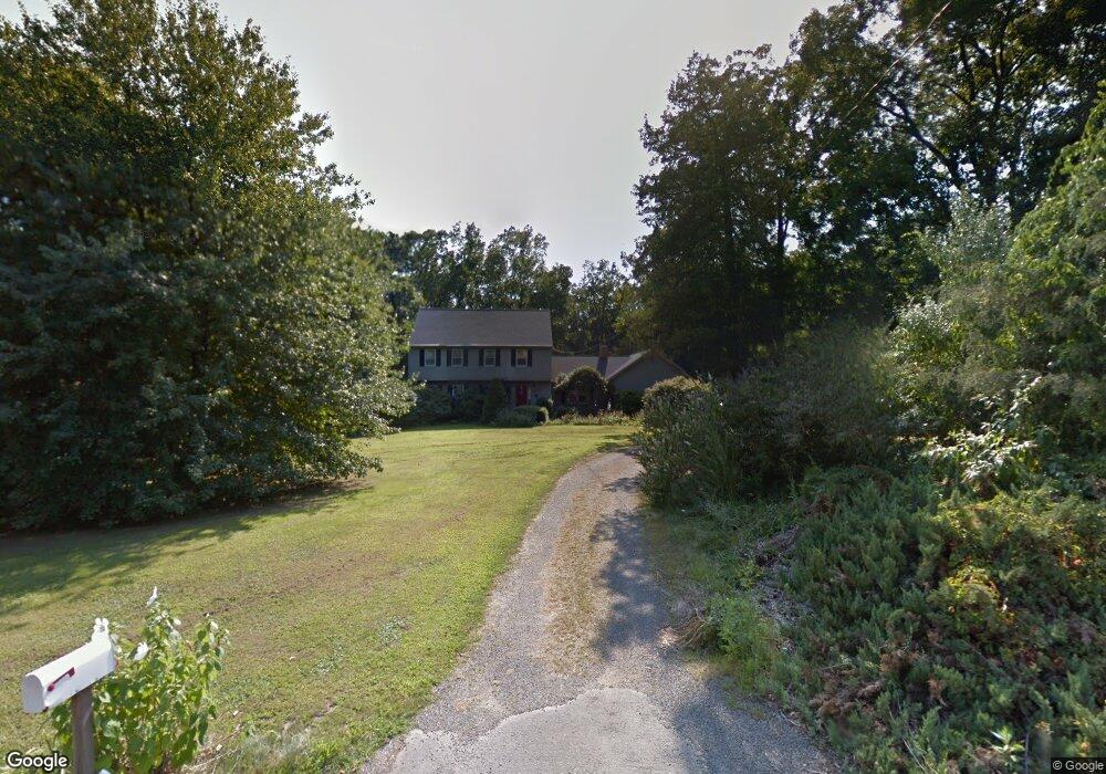
289 Schoolside Ln Guilford, CT 06437
Estimated Value: $711,000 - $755,000
4
Beds
3
Baths
2,460
Sq Ft
$297/Sq Ft
Est. Value
About This Home
This home is located at 289 Schoolside Ln, Guilford, CT 06437 and is currently estimated at $730,648, approximately $297 per square foot. 289 Schoolside Ln is a home located in New Haven County with nearby schools including E.C. Adams Middle School, A. Baldwin Middle School, and Guilford High School.
Ownership History
Date
Name
Owned For
Owner Type
Purchase Details
Closed on
Aug 27, 2002
Sold by
Kiss Douglas N and Kiss Joy A
Bought by
Hartman Raymond and Hartman Heather
Current Estimated Value
Home Financials for this Owner
Home Financials are based on the most recent Mortgage that was taken out on this home.
Original Mortgage
$360,900
Interest Rate
6.57%
Create a Home Valuation Report for This Property
The Home Valuation Report is an in-depth analysis detailing your home's value as well as a comparison with similar homes in the area
Home Values in the Area
Average Home Value in this Area
Purchase History
| Date | Buyer | Sale Price | Title Company |
|---|---|---|---|
| Hartman Raymond | $379,900 | -- |
Source: Public Records
Mortgage History
| Date | Status | Borrower | Loan Amount |
|---|---|---|---|
| Open | Hartman Raymond | $333,700 | |
| Closed | Hartman Raymond | $360,900 | |
| Previous Owner | Hartman Raymond | $195,000 | |
| Previous Owner | Hartman Raymond | $180,000 |
Source: Public Records
Tax History Compared to Growth
Tax History
| Year | Tax Paid | Tax Assessment Tax Assessment Total Assessment is a certain percentage of the fair market value that is determined by local assessors to be the total taxable value of land and additions on the property. | Land | Improvement |
|---|---|---|---|---|
| 2025 | $9,995 | $361,480 | $178,080 | $183,400 |
| 2024 | $9,608 | $361,480 | $178,080 | $183,400 |
| 2023 | $9,355 | $361,480 | $178,080 | $183,400 |
| 2022 | $8,561 | $257,470 | $147,170 | $110,300 |
| 2021 | $8,399 | $257,470 | $147,170 | $110,300 |
| 2020 | $8,319 | $257,470 | $147,170 | $110,300 |
| 2019 | $8,247 | $257,470 | $147,170 | $110,300 |
| 2018 | $8,054 | $257,470 | $147,170 | $110,300 |
| 2017 | $8,208 | $279,560 | $151,200 | $128,360 |
| 2016 | $8,015 | $279,560 | $151,200 | $128,360 |
| 2015 | $7,895 | $279,560 | $151,200 | $128,360 |
| 2014 | $7,666 | $279,560 | $151,200 | $128,360 |
Source: Public Records
Map
Nearby Homes
- 37 Long Hill Farm
- 1066 Long Hill Rd
- 42 Copper Hill Dr
- 24 Copper Hill Dr
- 20 Copper Hill Dr Unit 20
- 18 Copper Hill Dr
- 15 Briarwood Dr
- 173 Highwoods Dr
- 54 Coachlamp Ln
- 102 N Mill Cir
- 522 Peddlers Rd
- 241 Jefferson Dr
- 77 Pinebrook Cir
- 360 Jefferson Dr
- LOT #22 Kenneth Cir Unit MAP 77
- 9 Lantern Hill Ln
- 288 Jefferson Dr
- 2805 Boston Post Rd
- 181 Denison Dr
- 315 Durham Rd
- 271 Schoolside Ln
- 303 Schoolside Ln
- 257 Schoolside Ln
- 284 Schoolside Ln
- 311 Schoolside Ln
- 306 Schoolside Ln
- 7 Bailey Dr
- 268 Schoolside Ln
- 5 Bailey Dr
- 235 Schoolside Ln
- 3 Bailey Dr
- 89 Long Hill Farm
- 90 Long Hill Farm
- 90 Long Hill Farm Unit FARMS
- 89 Long Hill Farm Unit 89
- 322 Schoolside Ln
- 250 Schoolside Ln
- 54 Long Hill Farm
- 86 Long Hill Farm
- 333 Schoolside Ln