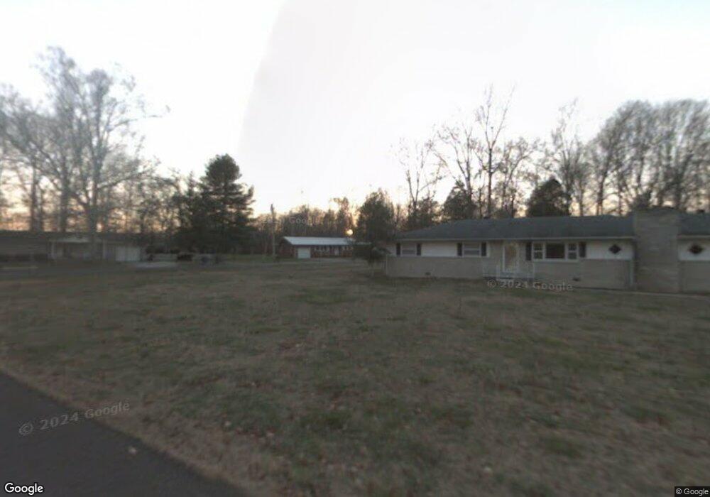
289 Swing Away Dr Manchester, TN 37355
Estimated Value: $178,102 - $242,000
--
Bed
1
Bath
1,257
Sq Ft
$170/Sq Ft
Est. Value
About This Home
This home is located at 289 Swing Away Dr, Manchester, TN 37355 and is currently estimated at $213,276, approximately $169 per square foot. 289 Swing Away Dr is a home located in Coffee County with nearby schools including Westwood Middle School.
Ownership History
Date
Name
Owned For
Owner Type
Purchase Details
Closed on
Dec 20, 2024
Sold by
Brown Charles E and Brown Carolyn E
Bought by
Charles Edward Brown I And Carolyn Elizabeth and Brown
Current Estimated Value
Purchase Details
Closed on
Apr 11, 2005
Sold by
Cunningham Larry Paul
Bought by
Brown Charles E
Purchase Details
Closed on
Apr 8, 2005
Sold by
Cunningham Larry Paul
Bought by
Brown Charles E
Purchase Details
Closed on
Sep 29, 1987
Purchase Details
Closed on
Dec 19, 1984
Bought by
Cunningham Larry Paul %Aedc Credit Union
Create a Home Valuation Report for This Property
The Home Valuation Report is an in-depth analysis detailing your home's value as well as a comparison with similar homes in the area
Home Values in the Area
Average Home Value in this Area
Purchase History
| Date | Buyer | Sale Price | Title Company |
|---|---|---|---|
| Charles Edward Brown I And Carolyn Elizabeth | -- | None Listed On Document | |
| Brown Charles E | $45,000 | -- | |
| Brown Charles E | $45,000 | -- | |
| -- | $30,000 | -- | |
| Cunningham Larry Paul %Aedc Credit Union | $27,500 | -- |
Source: Public Records
Tax History Compared to Growth
Tax History
| Year | Tax Paid | Tax Assessment Tax Assessment Total Assessment is a certain percentage of the fair market value that is determined by local assessors to be the total taxable value of land and additions on the property. | Land | Improvement |
|---|---|---|---|---|
| 2024 | $1,226 | $29,075 | $3,000 | $26,075 |
| 2023 | $1,226 | $29,075 | $0 | $0 |
| 2022 | $1,056 | $29,075 | $3,000 | $26,075 |
| 2021 | $796 | $17,375 | $2,025 | $15,350 |
| 2020 | $796 | $17,375 | $2,025 | $15,350 |
| 2019 | $796 | $17,375 | $2,025 | $15,350 |
| 2018 | $796 | $17,375 | $2,025 | $15,350 |
| 2017 | $931 | $17,750 | $3,050 | $14,700 |
| 2016 | $931 | $17,750 | $3,050 | $14,700 |
| 2015 | $931 | $17,750 | $3,050 | $14,700 |
| 2014 | $931 | $17,741 | $0 | $0 |
Source: Public Records
Map
Nearby Homes
- 775 Ragsdale Rd
- 627 Ragsdale Rd
- 793 Old Bushy Branch Rd
- 416 Powers Rd
- 215 Wellington Dr
- 1395 Ragsdale Rd
- 1292 McMinnville Hwy
- 107 Grace Ct
- 515 Mckellar Dr
- 602 Johnson St
- 304 W Lynn Dr
- 605 Johnson St
- 537 Shelton Rd
- 608 Henley St
- 31 Stonehenge Ln S
- 54 Stonehenge Ln E
- 76 Stonehenge Ln N
- 1989 Elevation JKL Plan at Stonehenge
- 1726 Elevation JKL Plan at Stonehenge
- 1824 Elevation JKL Plan at Stonehenge
- 313 Swing Away Dr
- 261 Swing Away Dr
- 230 Swing Away Dr
- 312 Swing Away Dr
- 142 Circle Ave
- 167 Swing Away Dr
- 130 Circle Ave
- 128 Circle Ave
- 157 Swing Away Dr
- 80 Circle Ave
- 119 Swing Away Dr
- 58 Teakwood Dr
- 0 Circle Ave
- 79 Swing Away Dr
- 39 Teakwood Dr
- 621 New Bushy Branch Rd
- 59 Teakwood Dr
- 51 Swing Away Dr
- 524 Ragsdale Rd
- 768 Ragsdale Rd