Estimated Value: $238,826 - $278,000
3
Beds
2
Baths
1,731
Sq Ft
$147/Sq Ft
Est. Value
About This Home
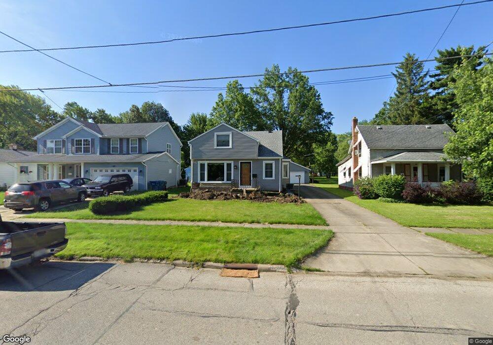
This home is located at 289 West St, Berea, OH 44017 and is currently estimated at $254,207, approximately $146 per square foot. 289 West St is a home located in Cuyahoga County with nearby schools including Grindstone Elementary School, Berea-Midpark Middle School, and Berea-Midpark High School.
Ownership History
Date
Name
Owned For
Owner Type
Purchase Details
Closed on
Feb 3, 1995
Sold by
Kleem Lori Ann
Bought by
Barendt Chris A and Barendt Deborah L
Current Estimated Value
Home Financials for this Owner
Home Financials are based on the most recent Mortgage that was taken out on this home.
Original Mortgage
$112,000
Interest Rate
9.24%
Mortgage Type
New Conventional
Purchase Details
Closed on
Feb 3, 1987
Sold by
Kleem Ferris E
Bought by
Kleem Lori Ann
Purchase Details
Closed on
May 7, 1984
Sold by
Damico Laura
Bought by
Kleem Ferris E
Purchase Details
Closed on
Oct 20, 1976
Sold by
Amico Ben D and Amico Laura
Bought by
Damico Laura
Purchase Details
Closed on
Jan 1, 1975
Bought by
Amico Ben D and Amico Laura
Create a Home Valuation Report for This Property
The Home Valuation Report is an in-depth analysis detailing your home's value as well as a comparison with similar homes in the area
Home Values in the Area
Average Home Value in this Area
Purchase History
| Date | Buyer | Sale Price | Title Company |
|---|---|---|---|
| Barendt Chris A | $140,000 | -- | |
| Kleem Lori Ann | $5,900 | -- | |
| Kleem Ferris E | $66,000 | -- | |
| Damico Laura | -- | -- | |
| Amico Ben D | -- | -- |
Source: Public Records
Mortgage History
| Date | Status | Borrower | Loan Amount |
|---|---|---|---|
| Closed | Barendt Chris A | $112,000 |
Source: Public Records
Tax History Compared to Growth
Tax History
| Year | Tax Paid | Tax Assessment Tax Assessment Total Assessment is a certain percentage of the fair market value that is determined by local assessors to be the total taxable value of land and additions on the property. | Land | Improvement |
|---|---|---|---|---|
| 2024 | $3,741 | $64,750 | $13,720 | $51,030 |
| 2023 | $3,174 | $45,960 | $11,550 | $34,410 |
| 2022 | $3,154 | $45,955 | $11,550 | $34,405 |
| 2021 | $3,127 | $45,960 | $11,550 | $34,410 |
| 2020 | $2,988 | $38,960 | $9,800 | $29,160 |
| 2019 | $2,909 | $111,300 | $28,000 | $83,300 |
| 2018 | $1,461 | $38,960 | $9,800 | $29,160 |
| 2017 | $4,383 | $54,780 | $9,350 | $45,430 |
| 2016 | $4,350 | $54,780 | $9,350 | $45,430 |
| 2015 | $6,176 | $54,780 | $9,350 | $45,430 |
| 2014 | $6,176 | $54,780 | $9,350 | $45,430 |
Source: Public Records
Map
Nearby Homes
- 243 Edgewood Dr
- 344 Girard Dr
- 28 Crocker St
- 255 Fairpark Dr
- 75 Sunset Dr
- 19 Baker St
- 396 Crossbrook Dr
- 47 Prospect St
- 537 Wyleswood Dr
- 543 Wyleswood Dr
- 147 Best St
- 549 Wyleswood Dr
- 647 Tampico Ct Unit 7
- 23002 Chandlers Ln
- 23002 Chandlers Ln Unit 342
- 23002 Chandlers Ln Unit 221
- 23003 Chandlers Ln Unit 219
- 23003 Chandlers Ln Unit 230
- 23155 Wainwright Terrace
- 361 Chestnut Dr