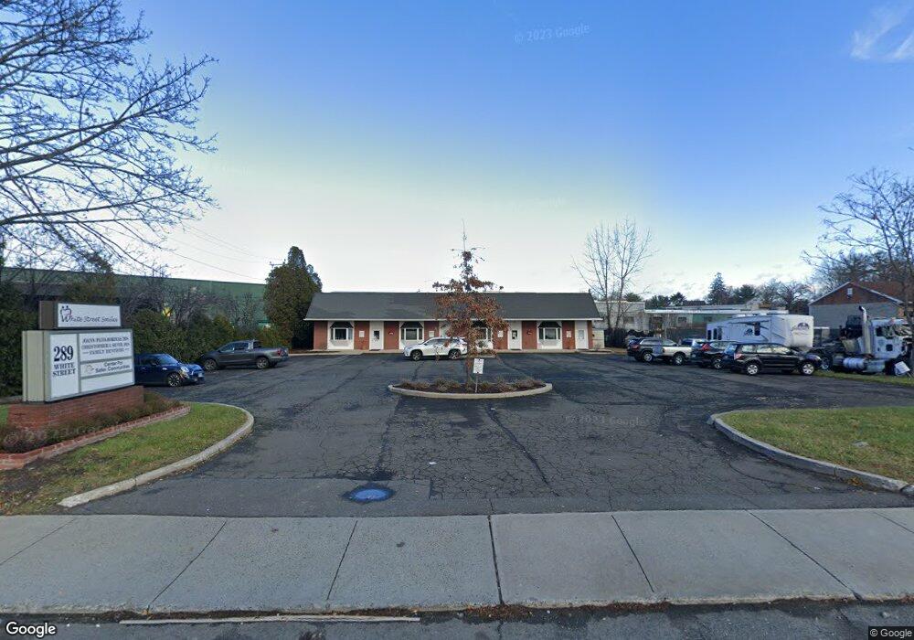
289 White St Danbury, CT 06810
Estimated Value: $946,651
--
Bed
--
Bath
4,500
Sq Ft
$210/Sq Ft
Est. Value
About This Home
This home is located at 289 White St, Danbury, CT 06810 and is currently estimated at $946,651, approximately $210 per square foot. 289 White St is a home located in Fairfield County with nearby schools including Shelter Rock School, Broadview Middle School, and Danbury High School.
Ownership History
Date
Name
Owned For
Owner Type
Purchase Details
Closed on
Jan 25, 2010
Sold by
Jjpb Assoc Llc
Bought by
New Alliance Bk
Current Estimated Value
Purchase Details
Closed on
Feb 13, 1998
Sold by
Barry Stuart N and Barry Sally
Bought by
Pbfh Associates Llc
Home Financials for this Owner
Home Financials are based on the most recent Mortgage that was taken out on this home.
Original Mortgage
$295,000
Interest Rate
9%
Mortgage Type
Commercial
Create a Home Valuation Report for This Property
The Home Valuation Report is an in-depth analysis detailing your home's value as well as a comparison with similar homes in the area
Home Values in the Area
Average Home Value in this Area
Purchase History
| Date | Buyer | Sale Price | Title Company |
|---|---|---|---|
| New Alliance Bk | -- | -- | |
| Pbfh Associates Llc | $300,000 | -- |
Source: Public Records
Mortgage History
| Date | Status | Borrower | Loan Amount |
|---|---|---|---|
| Open | Pbfh Associates Llc | $460,000 | |
| Previous Owner | Pbfh Associates Llc | $320,000 | |
| Previous Owner | Pbfh Associates Llc | $295,000 | |
| Previous Owner | Pbfh Associates Llc | $250,000 |
Source: Public Records
Tax History Compared to Growth
Tax History
| Year | Tax Paid | Tax Assessment Tax Assessment Total Assessment is a certain percentage of the fair market value that is determined by local assessors to be the total taxable value of land and additions on the property. | Land | Improvement |
|---|---|---|---|---|
| 2025 | $10,559 | $422,520 | $219,100 | $203,420 |
| 2024 | $10,326 | $422,520 | $219,100 | $203,420 |
| 2023 | $9,857 | $422,520 | $219,100 | $203,420 |
| 2022 | $11,308 | $400,700 | $217,900 | $182,800 |
| 2021 | $11,059 | $400,700 | $217,900 | $182,800 |
| 2020 | $11,059 | $400,700 | $217,900 | $182,800 |
| 2019 | $11,059 | $400,700 | $217,900 | $182,800 |
| 2018 | $11,059 | $400,700 | $217,900 | $182,800 |
| 2017 | $11,456 | $395,700 | $207,500 | $188,200 |
| 2016 | $11,349 | $395,700 | $207,500 | $188,200 |
| 2015 | $11,182 | $395,700 | $207,500 | $188,200 |
| 2014 | $10,921 | $395,700 | $207,500 | $188,200 |
Source: Public Records
Map
Nearby Homes
- 156 Triangle St
- 8 Briarwood Dr
- 55 Cross St Unit B6
- 127 Triangle St
- 18 Meadow St
- 20 Meadow St
- 126 Triangle St Unit B13
- 51 Wildman St Unit 407
- 14 Locust Ave
- 25 Topstone Dr
- 92 Woodcrest Ln
- 5 Woodside Ave Unit 41
- 16 Springside Ave
- 23 Westview Dr
- 1 Skyline Dr
- 34 Morgan Ave
- 7 Tilden Rd
- 25 E Cross Trail Unit 25
- 22 Brentwood Cir Unit 22
- 61 Brentwood Cir Unit 66
- 289 White St Unit 1
- 290 White St
- 282 White St
- 279 White St
- 297 White St
- 286 White St
- 18 Byron St
- 298 White St
- 20 Byron St
- 22 Byron St
- 173 Triangle St
- 191 Triangle St Unit one
- 273 White St
- 175 Triangle St Unit 2C2D
- 175 Triangle St Unit 2E
- 175 Triangle St Unit 2A
- 175 Triangle St Unit H
- 175 Triangle St Unit 2G
- 175 Triangle St Unit 2F2G
- 175 Triangle St Unit 2F