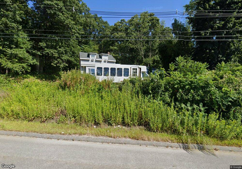
289 Worcester Rd Charlton, MA 01507
Estimated Value: $440,388 - $551,000
4
Beds
2
Baths
1,996
Sq Ft
$248/Sq Ft
Est. Value
About This Home
This home is located at 289 Worcester Rd, Charlton, MA 01507 and is currently estimated at $495,597, approximately $248 per square foot. 289 Worcester Rd is a home located in Worcester County with nearby schools including Shepherd Hill Regional High School.
Ownership History
Date
Name
Owned For
Owner Type
Purchase Details
Closed on
Sep 14, 2016
Sold by
Thibeault Dean M and Thibeault Mary
Bought by
Thibeault Ft and Thibeault
Current Estimated Value
Purchase Details
Closed on
Dec 30, 2004
Sold by
Thibeault Theresa F
Bought by
Thibeault Dean M
Purchase Details
Closed on
Feb 6, 1963
Bought by
Thibeault Dean M
Create a Home Valuation Report for This Property
The Home Valuation Report is an in-depth analysis detailing your home's value as well as a comparison with similar homes in the area
Home Values in the Area
Average Home Value in this Area
Purchase History
| Date | Buyer | Sale Price | Title Company |
|---|---|---|---|
| Thibeault Ft | -- | -- | |
| Thibeault Ft | -- | -- | |
| Thibeault Dean M | -- | -- | |
| Thibeault Dean M | -- | -- | |
| Thibeault Dean M | -- | -- |
Source: Public Records
Mortgage History
| Date | Status | Borrower | Loan Amount |
|---|---|---|---|
| Previous Owner | Thibeault Dean M | $142,500 |
Source: Public Records
Tax History Compared to Growth
Tax History
| Year | Tax Paid | Tax Assessment Tax Assessment Total Assessment is a certain percentage of the fair market value that is determined by local assessors to be the total taxable value of land and additions on the property. | Land | Improvement |
|---|---|---|---|---|
| 2025 | $4,446 | $399,500 | $70,200 | $329,300 |
| 2024 | $4,273 | $376,800 | $67,600 | $309,200 |
| 2023 | $4,129 | $339,300 | $65,000 | $274,300 |
| 2022 | $3,528 | $265,500 | $63,900 | $201,600 |
| 2021 | $6,951 | $216,200 | $62,400 | $153,800 |
| 2020 | $3,152 | $211,000 | $57,200 | $153,800 |
| 2019 | $7,922 | $211,000 | $57,200 | $153,800 |
| 2018 | $8,028 | $202,800 | $57,200 | $145,600 |
| 2017 | $2,477 | $175,700 | $52,000 | $123,700 |
| 2016 | $2,421 | $175,700 | $52,000 | $123,700 |
| 2015 | $2,358 | $175,700 | $52,000 | $123,700 |
| 2014 | $2,261 | $178,600 | $57,500 | $121,100 |
Source: Public Records
Map
Nearby Homes
- 18 Old Worcester Rd
- 105 Carroll Hill Rd
- 13 Boucher Dr
- 40 Carroll Hill Rd
- 8 Northside Rd
- 5 Northside Rd
- 0 Oxbow Rd
- 71 Bay Path Rd
- 7 Hycrest Rd
- 25 N Main St Unit A
- 8 Hycrest Rd
- 7 L Stevens Rd Unit A
- 7 L Stevens Rd Unit B
- 1 Deer Run
- 7 Little Muggett Rd
- 102 Worcester Rd
- 15 Priscilla Ln
- 44 Hycrest Rd
- 39 Hycrest Rd
- 44 Buffum Rd
- 293 Worcester Rd
- 293 Worcester Rd
- L50 Hycrect
- 0 Richardson Corner Road (Leese) Unit 70650108
- 0 Richardson Corner Road (Leese) Unit Leese 70650063
- Lot C4-1 Worcester Road (Rte 20)
- Lot 4 Janks Ln
- Lot 6 Janks Ln
- Lot 5 Janks Ln
- Lot 1 Chelsie Way(off Ramshorn Rd)
- Lot 1 Route 169
- lotc2 Staffford St
- 0 Ponnakin Hill Estates Unit 70360282
- 299 Worcester Rd
- Lot1 Worcester
- 8 Old Worcester Rd
- 16 Old Worcester Rd
- 39 Old Worcester Road Extension
- 4 Prenier Rd
- 22 Old Worcester Rd