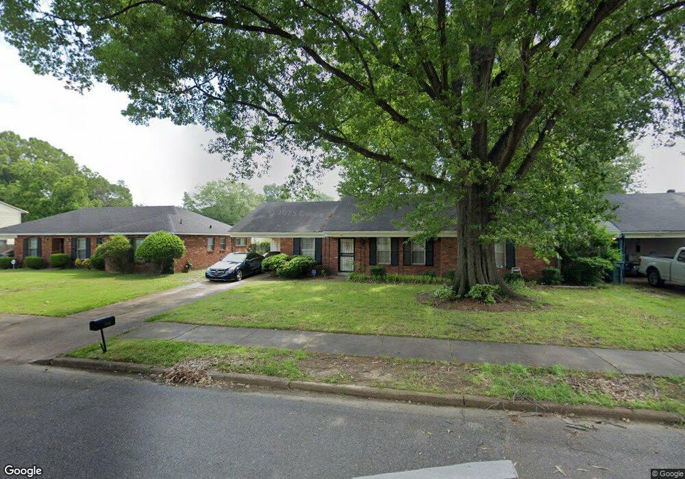
2892 Curtis St Memphis, TN 38118
Parkway Village NeighborhoodEstimated Value: $121,000 - $141,280
3
Beds
2
Baths
1,568
Sq Ft
$84/Sq Ft
Est. Value
About This Home
This home is located at 2892 Curtis St, Memphis, TN 38118 and is currently estimated at $131,820, approximately $84 per square foot. 2892 Curtis St is a home located in Shelby County with nearby schools including Evans Elementary School, Wooddale High School, and Cornerstone Prep School.
Ownership History
Date
Name
Owned For
Owner Type
Purchase Details
Closed on
Apr 22, 2004
Sold by
Cravey Mary M
Bought by
Thomas Carolyn J
Current Estimated Value
Home Financials for this Owner
Home Financials are based on the most recent Mortgage that was taken out on this home.
Original Mortgage
$74,411
Outstanding Balance
$34,283
Interest Rate
5.36%
Mortgage Type
FHA
Estimated Equity
$97,537
Create a Home Valuation Report for This Property
The Home Valuation Report is an in-depth analysis detailing your home's value as well as a comparison with similar homes in the area
Home Values in the Area
Average Home Value in this Area
Purchase History
| Date | Buyer | Sale Price | Title Company |
|---|---|---|---|
| Thomas Carolyn J | $70,000 | -- |
Source: Public Records
Mortgage History
| Date | Status | Borrower | Loan Amount |
|---|---|---|---|
| Open | Thomas Carolyn J | $74,411 |
Source: Public Records
Tax History Compared to Growth
Tax History
| Year | Tax Paid | Tax Assessment Tax Assessment Total Assessment is a certain percentage of the fair market value that is determined by local assessors to be the total taxable value of land and additions on the property. | Land | Improvement |
|---|---|---|---|---|
| 2025 | $827 | $34,400 | $5,200 | $29,200 |
| 2024 | $827 | $24,400 | $3,775 | $20,625 |
| 2023 | $1,486 | $24,400 | $3,775 | $20,625 |
| 2022 | $1,486 | $24,400 | $3,775 | $20,625 |
| 2021 | $1,504 | $24,400 | $3,775 | $20,625 |
| 2020 | $1,188 | $16,400 | $3,775 | $12,625 |
| 2019 | $1,188 | $16,400 | $3,775 | $12,625 |
| 2018 | $1,188 | $16,400 | $3,775 | $12,625 |
| 2017 | $674 | $16,400 | $3,775 | $12,625 |
| 2016 | $709 | $16,225 | $0 | $0 |
| 2014 | $709 | $16,225 | $0 | $0 |
Source: Public Records
Map
Nearby Homes
- 5067 Ginger Cir
- 2883 Cottonwood Cove
- 2845 Clearbrook St
- 5104 Christopher Ave
- 4876 Cottonwood Rd
- 3075 Dewitt Cove
- 3079 Castleman St
- 4843 Bridgedale Ave
- 4789 Judy Lynn Ave
- 2849 S Mendenhall Rd
- 4809 Bridgedale Ave
- 2937 Brandale St
- 3068 S Mendenhall Rd
- 3016 Egan Dr
- 5126 Kittie Lee Ln
- 4864 Cloister Ave
- 5134 Scottsdale Ave
- 3212 Thirteen Colony Mall Unit 3A
- 3240 Boxdale St
- 2969 Arrendale St
- 2900 Curtis St
- 2886 Curtis St
- 5062 Ginger Cir
- 2878 Curtis St
- 5064 Ginger Cir
- 5060 Ginger Cir
- 5046 Cottonwood Rd
- 2908 Curtis St
- 2891 Curtis St
- 2899 Curtis St
- 5066 Ginger Cir
- 2885 Curtis St
- 2872 Curtis St
- 5054 Cottonwood Rd
- 2877 Curtis St
- 5022 Cottonwood Rd
- 5068 Ginger Cir
- 8361 Curtis St
- 8355 Curtis St
- 8340 Curtis St