2892 Ringo Dr Missoula, MT 59804
Estimated Value: $1,048,000 - $1,408,000
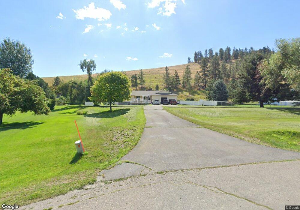
About This Home
This home is located at 2892 Ringo Dr, Missoula, MT 59804 and is currently estimated at $1,169,416, approximately $247 per square foot. 2892 Ringo Dr is a home located in Missoula County with nearby schools including Target Range School, Big Sky High School, and First Lutheran Classical School.
Ownership History
We collect this data history from publicly available records. To have your information removed, we recommend requesting removal directly through your county’s website.
Purchase Details
Home Financials for this Owner
Home Financials are based on the most recent Mortgage that was taken out on this home.Purchase Details
Home Financials for this Owner
Home Financials are based on the most recent Mortgage that was taken out on this home.Purchase Details
Home Financials for this Owner
Home Financials are based on the most recent Mortgage that was taken out on this home.Purchase History
We collect this data history from publicly available records. To have your information removed, we recommend requesting removal directly through your county’s website.
| Date | Buyer | Sale Price | Title Company |
|---|---|---|---|
| -- | Title Services In | ||
| -- | Insured Titles Llc | ||
| -- | -- |
Mortgage History
We collect this data history from publicly available records. To have your information removed, we recommend requesting removal directly through your county’s website.
| Date | Status | Borrower | Loan Amount |
|---|---|---|---|
| Open | $375,200 | ||
| Previous Owner | $205,000 | ||
| Previous Owner | $213,000 |
Tax History
We collect this data history from publicly available records. To have your information removed, we recommend requesting removal directly through your county’s website.
| Year | Tax Paid | Tax Assessment Tax Assessment Total Assessment is a certain percentage of the fair market value that is determined by local assessors to be the total taxable value of land and additions on the property. | Land | Improvement |
|---|---|---|---|---|
| 2025 | $7,733 | $1,007,600 | $270,720 | $736,880 |
| 2024 | $8,193 | $786,900 | $241,950 | $544,950 |
| 2023 | $7,442 | $786,900 | $241,950 | $544,950 |
| 2022 | $5,815 | $541,330 | $0 | $0 |
| 2021 | $5,471 | $541,330 | $0 | $0 |
| 2020 | $5,441 | $520,600 | $0 | $0 |
| 2019 | $5,399 | $520,600 | $0 | $0 |
| 2018 | $4,834 | $475,200 | $0 | $0 |
| 2017 | $4,835 | $475,200 | $0 | $0 |
| 2016 | $4,783 | $469,600 | $0 | $0 |
| 2015 | $4,621 | $469,600 | $0 | $0 |
| 2014 | $4,694 | $262,880 | $0 | $0 |
Map
- 3101 Humble Rd
- 3117 Humble Rd
- 2221 Pauline Dr
- 2222 Pauline Dr
- 4316 North Ave W
- 2201 Rafferty Ln
- 1623 Clements Rd
- 4005 North Ave W
- Lot 15 Spurgin Ranch Ct
- 3740 Mount Ave
- 296 Big Flat Rd
- 4669 Langdon Ct
- 4967 Buckhouse Ln
- 4805 U S Highway 93 S
- 4840 Spurgin Rd
- 4850 Spurgin Rd
- 12085 U S Highway 93 S
- NHN Wornath Rd
- 4700 US Highway 93 S
- 815 Howard St
Ask me questions while you tour the home.